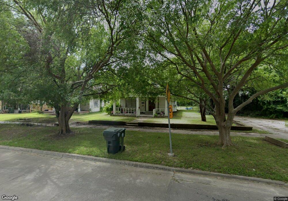
211 Spaulding Blvd Muskogee, OK 74403
Central Muskogee NeighborhoodEstimated Value: $45,000 - $62,134
2
Beds
1
Bath
1,068
Sq Ft
$49/Sq Ft
Est. Value
About This Home
This home is located at 211 Spaulding Blvd, Muskogee, OK 74403 and is currently estimated at $52,034, approximately $48 per square foot. 211 Spaulding Blvd is a home located in Muskogee County with nearby schools including Sadler Arts Academy, 8th & 9th Grade Academy @ Alice Robertson, and Muskogee High School.
Ownership History
Date
Name
Owned For
Owner Type
Purchase Details
Closed on
Jan 8, 2024
Sold by
Basolo Properties Llc
Bought by
Reynolds Mary K
Current Estimated Value
Purchase Details
Closed on
Jul 1, 2006
Sold by
Barnom James C
Bought by
Casolo Properties Llc
Purchase Details
Closed on
Nov 1, 2004
Purchase Details
Closed on
May 1, 1996
Purchase Details
Closed on
Sep 1, 1992
Purchase Details
Closed on
Feb 1, 1988
Create a Home Valuation Report for This Property
The Home Valuation Report is an in-depth analysis detailing your home's value as well as a comparison with similar homes in the area
Home Values in the Area
Average Home Value in this Area
Purchase History
| Date | Buyer | Sale Price | Title Company |
|---|---|---|---|
| Reynolds Mary K | $30,000 | Muskogee Abstract & Title | |
| Casolo Properties Llc | -- | None Available | |
| -- | $95,500 | -- | |
| -- | -- | -- | |
| -- | $3,000 | -- | |
| -- | $8,700 | -- |
Source: Public Records
Tax History Compared to Growth
Tax History
| Year | Tax Paid | Tax Assessment Tax Assessment Total Assessment is a certain percentage of the fair market value that is determined by local assessors to be the total taxable value of land and additions on the property. | Land | Improvement |
|---|---|---|---|---|
| 2024 | $298 | $2,733 | $288 | $2,445 |
| 2023 | $298 | $2,603 | $230 | $2,373 |
| 2022 | $259 | $2,603 | $230 | $2,373 |
| 2021 | $261 | $2,603 | $230 | $2,373 |
| 2020 | $261 | $2,603 | $230 | $2,373 |
| 2019 | $268 | $2,697 | $231 | $2,466 |
| 2018 | $263 | $2,697 | $231 | $2,466 |
| 2017 | $254 | $2,696 | $230 | $2,466 |
| 2016 | $257 | $2,696 | $230 | $2,466 |
| 2015 | $254 | $2,696 | $230 | $2,466 |
| 2014 | $259 | $2,696 | $230 | $2,466 |
Source: Public Records
Map
Nearby Homes
- 649 E Okmulgee St
- 0 Frankfort Ave
- 5321
- 101 Independence Ave
- 307 Felix St
- 123 N M St
- 500 N Cherokee St
- 915 S C St
- 0 Denison Ave
- 1322 Baltimore Ave
- 0 S Main St
- 428 N K St
- 1415 Dorchester Ave
- 1412 Baltimore Ave
- 1406 Callahan St
- 1501 E Okmulgee St
- 1518 Baltimore St
- 825 S L St
- 301 S P St
- 1503 Callahan St
- 215 Spaulding Blvd
- 219 Spaulding Blvd
- 221 Spaulding Blvd
- 225 Spaulding Blvd
- 212 Spaulding Blvd
- 511 Baltimore St
- 409 Baltimore St
- 208 S D St
- 210 S D St
- 216 S D St
- 202 S D St
- 519 Baltimore St
- 513 Baltimore Ave
- 120 S D St
- 512 E Cincinnati Ave
- 518 E Cincinnati Ave
- 215 S D St
- 217 S D St
- 515 Baltimore Ave
- 228 S D St