211 Thomas Place Louisburg, KS 66053
Estimated Value: $338,000 - $353,000
4
Beds
2
Baths
1,462
Sq Ft
$236/Sq Ft
Est. Value
About This Home
This home is located at 211 Thomas Place, Louisburg, KS 66053 and is currently estimated at $344,672, approximately $235 per square foot. 211 Thomas Place is a home located in Miami County with nearby schools including Rockville Elementary School, Broadmoor Elementary School, and Louisburg Middle School.
Ownership History
Date
Name
Owned For
Owner Type
Purchase Details
Closed on
Jan 26, 2017
Sold by
Parker Mark E and Parker Linda S
Bought by
Parker Mark E and Parker Linda S
Current Estimated Value
Purchase Details
Closed on
Jan 5, 2008
Sold by
Scarlett Troy and Scarlett Mechelle
Bought by
Parker Mark E
Home Financials for this Owner
Home Financials are based on the most recent Mortgage that was taken out on this home.
Original Mortgage
$165,404
Interest Rate
6.09%
Mortgage Type
FHA
Create a Home Valuation Report for This Property
The Home Valuation Report is an in-depth analysis detailing your home's value as well as a comparison with similar homes in the area
Home Values in the Area
Average Home Value in this Area
Purchase History
| Date | Buyer | Sale Price | Title Company |
|---|---|---|---|
| Parker Mark E | -- | Security First Title | |
| Parker Mark E | -- | Chicago Title |
Source: Public Records
Mortgage History
| Date | Status | Borrower | Loan Amount |
|---|---|---|---|
| Previous Owner | Parker Mark E | $165,404 |
Source: Public Records
Tax History Compared to Growth
Tax History
| Year | Tax Paid | Tax Assessment Tax Assessment Total Assessment is a certain percentage of the fair market value that is determined by local assessors to be the total taxable value of land and additions on the property. | Land | Improvement |
|---|---|---|---|---|
| 2025 | $3,900 | $38,068 | $5,387 | $32,681 |
| 2024 | $3,900 | $37,158 | $5,303 | $31,855 |
| 2023 | $3,891 | $36,352 | $4,330 | $32,022 |
| 2022 | $3,598 | $31,050 | $3,534 | $27,516 |
| 2021 | $1,863 | $0 | $0 | $0 |
| 2020 | $3,253 | $0 | $0 | $0 |
| 2019 | $3,578 | $0 | $0 | $0 |
| 2018 | $3,250 | $0 | $0 | $0 |
| 2017 | $2,968 | $0 | $0 | $0 |
| 2016 | -- | $0 | $0 | $0 |
| 2015 | -- | $0 | $0 | $0 |
| 2014 | -- | $0 | $0 | $0 |
| 2013 | -- | $0 | $0 | $0 |
Source: Public Records
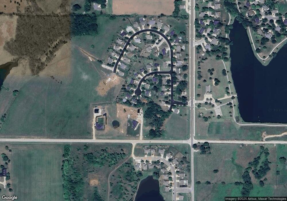
Map
Nearby Homes
- 1206 Thomas Dr
- 26528 S Metcalf Rd
- 1620 Chadwick Cove
- 0 Metcalf St
- 25145 Metcalf St
- 0000 W 287th St
- 201 S 8th St
- 911 S 12th St
- 919 S 12th St
- 1002 W Howard Place
- 904 S Rogers Rd
- 1200 S 13th St
- 1128 S 12th Terrace
- 205 S Broadmoor St
- 206 S Mulberry St
- 9960 K-68 Hwy
- 1416 Starbrooke Dr
- 0 Harvest Dr Unit HMS2564792
- 1301 S 4th St E
- Lot #1 N 3rd St
- 209 Thomas Place
- 213 Thomas Place
- 207 Thomas Place
- 1414 Thomas Dr
- 1412 Thomas Dr
- 214 Thomas Place
- 212 Thomas Place
- 1410 Thomas Dr
- 210 Thomas Place
- 158 S 16th St
- 1408 Thomas Dr
- 208 Thomas Place
- 206 Thomas Place
- 1506 S Metcalf Rd
- 1321 Thomas Dr
- 202 Thomas Place
- 1413 Thomas Dr
- 204 Thomas Place
- 202 Thomas Place
- 1409 Thomas Dr