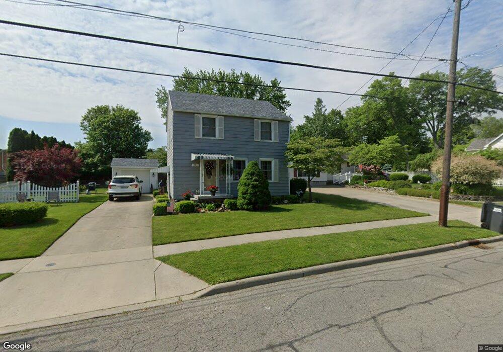
211 W Garfield Ave Swanton, OH 43558
Estimated Value: $144,586 - $185,000
3
Beds
1
Bath
1,177
Sq Ft
$137/Sq Ft
Est. Value
About This Home
This home is located at 211 W Garfield Ave, Swanton, OH 43558 and is currently estimated at $161,397, approximately $137 per square foot. 211 W Garfield Ave is a home located in Fulton County with nearby schools including Swanton High School, Swanton Middle School, and St. Richard School.
Ownership History
Date
Name
Owned For
Owner Type
Purchase Details
Closed on
Feb 15, 2023
Sold by
Leslie Linda A
Bought by
Linda A Leslie Revocable Trust
Current Estimated Value
Purchase Details
Closed on
Jan 1, 1990
Bought by
Leslie Dennis E - Linda A
Create a Home Valuation Report for This Property
The Home Valuation Report is an in-depth analysis detailing your home's value as well as a comparison with similar homes in the area
Home Values in the Area
Average Home Value in this Area
Purchase History
| Date | Buyer | Sale Price | Title Company |
|---|---|---|---|
| Linda A Leslie Revocable Trust | -- | -- | |
| Linda A Leslie Revocable Trust | -- | None Listed On Document | |
| Leslie Dennis E - Linda A | -- | -- |
Source: Public Records
Tax History
| Year | Tax Paid | Tax Assessment Tax Assessment Total Assessment is a certain percentage of the fair market value that is determined by local assessors to be the total taxable value of land and additions on the property. | Land | Improvement |
|---|---|---|---|---|
| 2024 | $1,014 | $34,720 | $7,840 | $26,880 |
| 2023 | $1,046 | $34,720 | $7,840 | $26,880 |
| 2022 | $824 | $26,470 | $6,550 | $19,920 |
| 2021 | $873 | $26,470 | $6,550 | $19,920 |
| 2020 | $884 | $26,470 | $6,550 | $19,920 |
| 2019 | $757 | $23,390 | $6,550 | $16,840 |
| 2018 | $685 | $23,390 | $6,550 | $16,840 |
| 2017 | $680 | $23,390 | $6,550 | $16,840 |
| 2016 | $652 | $20,660 | $6,550 | $14,110 |
| 2015 | $617 | $20,660 | $6,550 | $14,110 |
| 2014 | $630 | $20,660 | $6,550 | $14,110 |
| 2013 | $714 | $22,160 | $5,570 | $16,590 |
Source: Public Records
Map
Nearby Homes
- 304 W Garfield Ave
- 227 Kierra Ln
- 519 Mettabrook Dr
- 105 Pennsylvania Ave
- 233 N Main St
- 129 Harrison Ave
- 229 Woodland Ave
- 306 N Fulton St
- 16 Crabtree Ct
- 7893 County Road 2
- 21 Crabtree Ct
- 19 Crabtree Ct
- 0 Waterwood Dr
- 225 Kierra Ln
- 4303 S Berkey Southern Rd
- 13620 Brindley Rd
- 3088 County Road H
- 12922 Airport Hwy
- 9984 State Route 64
- 1670 County Road Ef
- 209 W Garfield Ave
- 301 W Garfield Ave
- 207 W Garfield Ave
- 303 W Garfield Ave
- 302 W Garfield Ave
- 205 W Garfield Ave
- 212 W Garfield Ave
- 307 W Garfield Ave
- 203 W Garfield Ave
- 306 W Garfield Ave
- 108 West St
- 109 West St
- 206 W Garfield Ave
- 206 W Garfield Ave
- 99 Elton Pkwy
- 310 W Garfield Ave
- 309 W Garfield Ave
- 110 West St
- 106 Allen Dr
- 204 W Garfield Ave
Your Personal Tour Guide
Ask me questions while you tour the home.