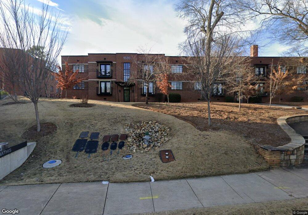
211 W Rutherford St Athens, GA 30605
Midtown-Bloomfield NeighborhoodEstimated Value: $333,964 - $432,000
--
Bed
2
Baths
1,189
Sq Ft
$320/Sq Ft
Est. Value
About This Home
This home is located at 211 W Rutherford St, Athens, GA 30605 and is currently estimated at $380,741, approximately $320 per square foot. 211 W Rutherford St is a home located in Clarke County with nearby schools including Barrow Elementary School, Clarke Middle School, and Clarke Central High School.
Ownership History
Date
Name
Owned For
Owner Type
Purchase Details
Closed on
Jun 24, 2004
Sold by
Broadnax John E
Bought by
Childers William C and Childe Linda W
Current Estimated Value
Purchase Details
Closed on
Jan 18, 2002
Sold by
Broadnax John E and Broadnax Jeanette
Bought by
Broadnax John E
Purchase Details
Closed on
Apr 12, 1996
Sold by
Broadnax John E
Bought by
Broadnax John E and Broadnax Jeanette F
Purchase Details
Closed on
Oct 28, 1994
Sold by
Price Gary L and Price Pamela J
Bought by
Booth Boone W and Booth Lizbeth E
Create a Home Valuation Report for This Property
The Home Valuation Report is an in-depth analysis detailing your home's value as well as a comparison with similar homes in the area
Home Values in the Area
Average Home Value in this Area
Purchase History
| Date | Buyer | Sale Price | Title Company |
|---|---|---|---|
| Childers William C | $128,500 | -- | |
| Broadnax John E | $90,000 | -- | |
| Broadnax John E | -- | -- | |
| Broadnax John E | $67,500 | -- | |
| Booth Boone W | $59,900 | -- |
Source: Public Records
Tax History Compared to Growth
Tax History
| Year | Tax Paid | Tax Assessment Tax Assessment Total Assessment is a certain percentage of the fair market value that is determined by local assessors to be the total taxable value of land and additions on the property. | Land | Improvement |
|---|---|---|---|---|
| 2024 | $3,210 | $102,730 | $16,000 | $86,730 |
| 2023 | $3,210 | $89,871 | $16,000 | $73,871 |
| 2022 | $2,580 | $80,875 | $14,000 | $66,875 |
| 2021 | $2,156 | $63,968 | $14,000 | $49,968 |
| 2020 | $2,020 | $59,954 | $12,000 | $47,954 |
| 2019 | $1,924 | $56,660 | $12,000 | $44,660 |
| 2018 | $1,837 | $54,097 | $12,000 | $42,097 |
| 2017 | $1,837 | $54,097 | $12,000 | $42,097 |
| 2016 | $1,685 | $49,636 | $11,200 | $38,436 |
| 2015 | $1,688 | $49,636 | $11,200 | $38,436 |
| 2014 | $1,690 | $49,636 | $11,200 | $38,436 |
Source: Public Records
Map
Nearby Homes
- 155 Morton Ave
- 497 W Rutherford St
- 495 Woodlawn Ave
- 174 Talmadge St Unit 18
- 170 Stanton Way
- 577 W Cloverhurst Ave
- 430 Milledge Cir
- 140 Parkway Dr
- 490 Mcwhorter Dr
- 1055 Baxter St Unit 103
- 183 Parkway Dr
- 515 Hampton Ct
- 119 Fortson Cir
- 494 Baxter St Unit 32
- 152 Ridgewood Place
- 340 Paris St
- 365 S Church St Unit 1B
- 365 S Church St Unit 1C
- 211 W Rutherford St Unit 4
- 211 W Rutherford St Unit 2
- 211 W Rutherford St Unit 7
- 211 W Rutherford St
- 211 W Rutherford St
- 211 W Rutherford St
- 211 W Rutherford St
- 211 W Rutherford St
- 211 W Rutherford St
- 211 W Rutherford St
- 211 W Rutherford St
- 211 W Rutherford St
- 211 W Rutherford St Unit 1
- 205 W Rutherford St
- 997 S Milledge Ave
- 1045 S Milledge Ave Unit 100
- 1073 S Milledge Ave
- 215 W Rutherford St
- W W Rutherford St
- 213 W Rutherford St