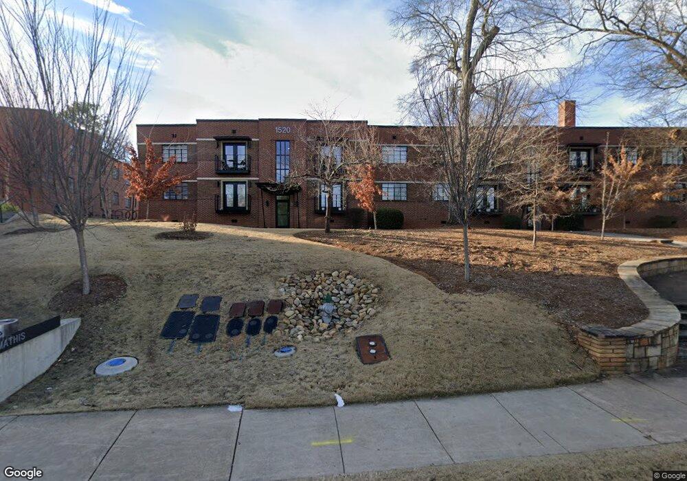
211 W Rutherford St Athens, GA 30605
Midtown-Bloomfield NeighborhoodEstimated Value: $324,115 - $408,000
--
Bed
2
Baths
1,189
Sq Ft
$305/Sq Ft
Est. Value
About This Home
This home is located at 211 W Rutherford St, Athens, GA 30605 and is currently estimated at $362,279, approximately $304 per square foot. 211 W Rutherford St is a home located in Clarke County with nearby schools including Barrow Elementary School, Clarke Middle School, and Clarke Central High School.
Ownership History
Date
Name
Owned For
Owner Type
Purchase Details
Closed on
Apr 29, 2008
Sold by
Cook Belinda R
Bought by
Elise Virginia
Current Estimated Value
Purchase Details
Closed on
Feb 28, 2003
Sold by
Deming Frank
Bought by
Cook Belinda R and Cook Albert L
Purchase Details
Closed on
Feb 29, 1996
Sold by
Williams Charles
Bought by
Deming Frank
Purchase Details
Closed on
Jun 1, 1990
Sold by
Bryant Clifford W
Bought by
Williams Charles
Create a Home Valuation Report for This Property
The Home Valuation Report is an in-depth analysis detailing your home's value as well as a comparison with similar homes in the area
Home Values in the Area
Average Home Value in this Area
Purchase History
| Date | Buyer | Sale Price | Title Company |
|---|---|---|---|
| Elise Virginia | -- | -- | |
| Cook Belinda R | $117,900 | -- | |
| Deming Frank | $67,000 | -- | |
| Williams Charles | $61,500 | -- |
Source: Public Records
Tax History Compared to Growth
Tax History
| Year | Tax Paid | Tax Assessment Tax Assessment Total Assessment is a certain percentage of the fair market value that is determined by local assessors to be the total taxable value of land and additions on the property. | Land | Improvement |
|---|---|---|---|---|
| 2025 | $4,176 | $134,491 | $16,000 | $118,491 |
| 2024 | $3,210 | $102,730 | $16,000 | $86,730 |
| 2023 | $3,210 | $89,871 | $16,000 | $73,871 |
| 2022 | $2,580 | $80,875 | $14,000 | $66,875 |
| 2021 | $2,156 | $63,968 | $14,000 | $49,968 |
| 2020 | $2,020 | $59,954 | $12,000 | $47,954 |
| 2019 | $1,837 | $54,097 | $12,000 | $42,097 |
| 2018 | $1,837 | $54,097 | $12,000 | $42,097 |
| 2017 | $1,837 | $54,097 | $12,000 | $42,097 |
| 2016 | $1,685 | $49,636 | $11,200 | $38,436 |
| 2015 | $1,688 | $49,636 | $11,200 | $38,436 |
| 2014 | $1,690 | $49,636 | $11,200 | $38,436 |
Source: Public Records
Map
Nearby Homes
- 997 S Milledge Ave Unit 2
- 997 S Milledge Ave Unit 3
- 997 S Milledge Ave Unit 1
- 997 S Milledge Ave Unit 4
- 50 Springdale St
- 265 Springdale St
- 495 Woodlawn Ave
- 255 Bloomfield St
- 221 University Dr
- 577 W Cloverhurst Ave
- 338 Springdale St
- 490 Mcwhorter Dr
- 1055 Baxter St Unit 504
- 490 Ofarrell St
- 183 Parkway Dr
- 515 Hampton Ct
- 494 Baxter St Unit 32
- 590 Highland Ave
- 211 W Rutherford St Unit 4
- 211 W Rutherford St Unit 2
- 211 W Rutherford St Unit 7
- 211 W Rutherford St
- 211 W Rutherford St
- 211 W Rutherford St
- 211 W Rutherford St
- 211 W Rutherford St
- 211 W Rutherford St
- 211 W Rutherford St
- 211 W Rutherford St
- 211 W Rutherford St
- 211 W Rutherford St Unit 1
- 205 W Rutherford St
- 997 S Milledge Ave
- 1045 S Milledge Ave Unit 100
- 1073 S Milledge Ave
- 215 W Rutherford St
- W W Rutherford St
- 213 W Rutherford St