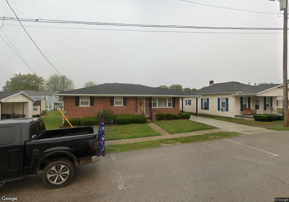
211 West St Felicity, OH 45120
Estimated Value: $181,000 - $212,000
2
Beds
2
Baths
1,498
Sq Ft
$127/Sq Ft
Est. Value
About This Home
This home is located at 211 West St, Felicity, OH 45120 and is currently estimated at $190,140, approximately $126 per square foot. 211 West St is a home with nearby schools including Felicity-Franklin Local Elementary School, Felicity-Franklin Local Middle School, and Felicity-Franklin Local High School.
Ownership History
Date
Name
Owned For
Owner Type
Purchase Details
Closed on
Nov 16, 2009
Sold by
Moran Barry C and Moran Beverly Sue
Bought by
Croswell Deborah A and Diesel Diana L
Current Estimated Value
Purchase Details
Closed on
Oct 10, 2009
Sold by
Croswell Deborah A and Croswell Fred J
Bought by
Moran Barry C and Moran Beverly Sue
Purchase Details
Closed on
Feb 9, 2008
Sold by
Linville Eddie Chloe and Linville Joan Dale
Bought by
Croswell Deborah A and Diesel Diana L
Create a Home Valuation Report for This Property
The Home Valuation Report is an in-depth analysis detailing your home's value as well as a comparison with similar homes in the area
Home Values in the Area
Average Home Value in this Area
Purchase History
| Date | Buyer | Sale Price | Title Company |
|---|---|---|---|
| Croswell Deborah A | -- | Attorney | |
| Moran Barry C | -- | Attorney | |
| Croswell Deborah A | -- | Attorney |
Source: Public Records
Tax History Compared to Growth
Tax History
| Year | Tax Paid | Tax Assessment Tax Assessment Total Assessment is a certain percentage of the fair market value that is determined by local assessors to be the total taxable value of land and additions on the property. | Land | Improvement |
|---|---|---|---|---|
| 2024 | $1,477 | $37,660 | $1,470 | $36,190 |
| 2023 | $1,487 | $37,660 | $1,470 | $36,190 |
| 2022 | $1,343 | $30,730 | $1,190 | $29,540 |
| 2021 | $1,344 | $30,730 | $1,190 | $29,540 |
| 2020 | $1,341 | $30,730 | $1,190 | $29,540 |
| 2019 | $1,357 | $29,680 | $1,890 | $27,790 |
| 2018 | $1,358 | $29,680 | $1,890 | $27,790 |
| 2017 | $1,391 | $29,680 | $1,890 | $27,790 |
| 2016 | $1,274 | $25,800 | $1,650 | $24,150 |
| 2015 | $1,199 | $25,800 | $1,650 | $24,150 |
| 2014 | $1,199 | $25,800 | $1,650 | $24,150 |
| 2013 | $1,361 | $27,620 | $1,650 | $25,970 |
Source: Public Records
Map
Nearby Homes
- 714 West St
- 715 Walnut St
- 3299 Ohio 756
- 949 Hopewell Rd
- 0 Hopewell Rd Unit 1846098
- 104 Country Way Ln
- Acres Hopewell Rd
- 3569 Smyrna Rd
- 1000 Triple Two Farm Rd
- 527 State Route 222
- 398 Ohio 133
- 403 Felicity Higginsport Rd
- 1606 Lenroot Rd
- 2631 Burns Rd
- ac Beech Rd
- 3202 Beech Rd
- 444 Felicity Cedron Rural Rd
- 1614 Ohio 133
- 872 Mullen Rd
- 3843 St Rt 756