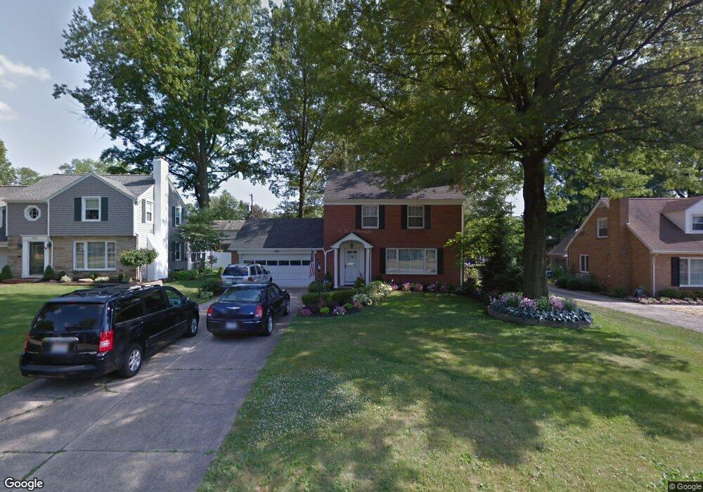
211 Wolcott Dr Youngstown, OH 44512
Estimated Value: $203,896 - $227,000
3
Beds
2
Baths
1,680
Sq Ft
$128/Sq Ft
Est. Value
About This Home
This home is located at 211 Wolcott Dr, Youngstown, OH 44512 and is currently estimated at $214,224, approximately $127 per square foot. 211 Wolcott Dr is a home located in Mahoning County with nearby schools including Boardman Center Middle School, Boardman High School, and Youngstown Christian School.
Ownership History
Date
Name
Owned For
Owner Type
Purchase Details
Closed on
Mar 8, 2001
Sold by
Mcmahon Kenneth J
Bought by
Mccauley Paul M and Mccauley Joanne D
Current Estimated Value
Home Financials for this Owner
Home Financials are based on the most recent Mortgage that was taken out on this home.
Original Mortgage
$68,000
Outstanding Balance
$24,964
Interest Rate
7.13%
Estimated Equity
$189,260
Purchase Details
Closed on
Mar 1, 1990
Bought by
Leidy James J
Create a Home Valuation Report for This Property
The Home Valuation Report is an in-depth analysis detailing your home's value as well as a comparison with similar homes in the area
Home Values in the Area
Average Home Value in this Area
Purchase History
| Date | Buyer | Sale Price | Title Company |
|---|---|---|---|
| Mccauley Paul M | $88,000 | -- | |
| Leidy James J | -- | -- |
Source: Public Records
Mortgage History
| Date | Status | Borrower | Loan Amount |
|---|---|---|---|
| Open | Mccauley Paul M | $68,000 |
Source: Public Records
Tax History Compared to Growth
Tax History
| Year | Tax Paid | Tax Assessment Tax Assessment Total Assessment is a certain percentage of the fair market value that is determined by local assessors to be the total taxable value of land and additions on the property. | Land | Improvement |
|---|---|---|---|---|
| 2024 | $2,436 | $58,100 | $7,790 | $50,310 |
| 2023 | $2,434 | $58,100 | $7,790 | $50,310 |
| 2022 | $2,291 | $43,980 | $7,230 | $36,750 |
| 2021 | $2,856 | $43,980 | $7,230 | $36,750 |
| 2020 | $2,871 | $43,980 | $7,230 | $36,750 |
| 2019 | $2,776 | $38,250 | $6,290 | $31,960 |
| 2018 | $2,424 | $38,250 | $6,290 | $31,960 |
| 2017 | $2,421 | $38,250 | $6,290 | $31,960 |
| 2016 | $2,425 | $37,930 | $6,840 | $31,090 |
| 2015 | $2,376 | $37,930 | $6,840 | $31,090 |
| 2014 | $2,383 | $37,930 | $6,840 | $31,090 |
| 2013 | $2,353 | $37,930 | $6,840 | $31,090 |
Source: Public Records
Map
Nearby Homes
- 169 Wolcott Dr
- 103 Wildwood Dr
- 44 Gertrude Ave
- 49 Shields Rd
- 272 Shields Rd
- 88 Arlene Ave
- 242 Oakley Ave
- 5020 Friendship Ave
- 5522 Southern Blvd
- 5200 West Blvd Unit 505
- 26 Marlindale Ave
- 396 Brookfield Ave
- 715 Crestview Dr
- 6726 Glendale Ave
- 537 W Glen Dr
- 127 Melrose Ave
- 6892 Glenwood Ave
- 167 Afton Ave
- 28 Terrace Dr
- 197 Mathews Rd Unit B
- 203 Wolcott Dr
- 208 Ridgewood Dr
- 181 Wolcott Dr
- 227 Wolcott Dr
- 204 Ridgewood Dr
- 212 Ridgewood Dr
- 188 Ridgewood Dr
- 216 Ridgewood Dr
- 177 Wolcott Dr
- 204 Wolcott Dr
- 235 Wolcott Dr
- 218 Wolcott Dr
- 180 Wolcott Dr
- 178 Ridgewood Dr
- 220 Ridgewood Dr
- 228 Wolcott Dr
- 173 Wolcott Dr
- 176 Wolcott Dr
- 243 Wolcott Dr
- 236 Wolcott Dr