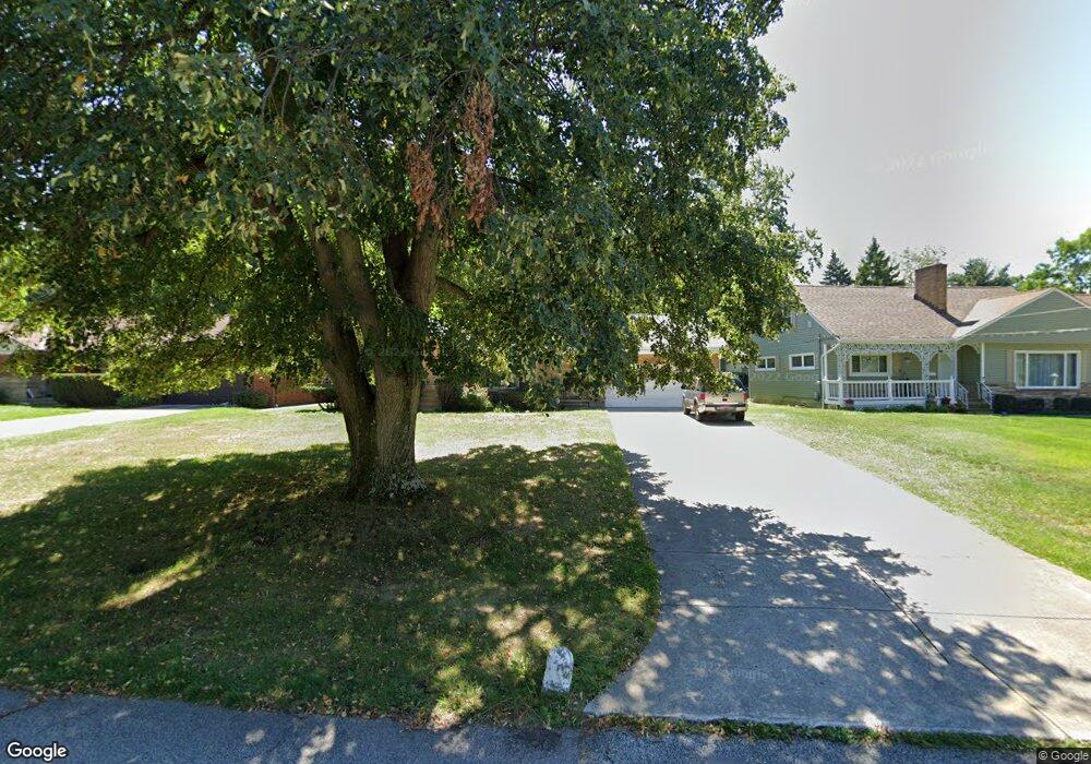
2110 Algonquin Rd Euclid, OH 44117
Estimated Value: $169,000 - $219,000
3
Beds
2
Baths
1,694
Sq Ft
$114/Sq Ft
Est. Value
About This Home
This home is located at 2110 Algonquin Rd, Euclid, OH 44117 and is currently estimated at $193,187, approximately $114 per square foot. 2110 Algonquin Rd is a home located in Cuyahoga County with nearby schools including Bluestone Elementary School, Euclid Middle School, and Euclid High School.
Ownership History
Date
Name
Owned For
Owner Type
Purchase Details
Closed on
Feb 25, 2002
Sold by
Malloy Lee V and Malloy Evelyn W
Bought by
Malloy Lee and Malloy Evelyn W
Current Estimated Value
Purchase Details
Closed on
Oct 19, 2001
Sold by
Estate Of Ruth Malloy
Bought by
Malloy Lee
Purchase Details
Closed on
Apr 2, 1998
Sold by
Bojc Agnes
Bought by
Malloy Lee and Malloy Evelyn W
Home Financials for this Owner
Home Financials are based on the most recent Mortgage that was taken out on this home.
Original Mortgage
$108,000
Interest Rate
7.26%
Purchase Details
Closed on
Sep 23, 1977
Sold by
Bojc Karol and Bojc Agnes
Bought by
Bojc Karol
Purchase Details
Closed on
Jan 1, 1975
Bought by
Bojc Karol and Bojc Agnes
Create a Home Valuation Report for This Property
The Home Valuation Report is an in-depth analysis detailing your home's value as well as a comparison with similar homes in the area
Home Values in the Area
Average Home Value in this Area
Purchase History
| Date | Buyer | Sale Price | Title Company |
|---|---|---|---|
| Malloy Lee | -- | -- | |
| Malloy Lee | -- | -- | |
| Malloy Lee | $120,000 | Midland Title Security Inc | |
| Bojc Karol | -- | -- | |
| Bojc Karol | -- | -- |
Source: Public Records
Mortgage History
| Date | Status | Borrower | Loan Amount |
|---|---|---|---|
| Previous Owner | Malloy Lee | $108,000 |
Source: Public Records
Tax History
| Year | Tax Paid | Tax Assessment Tax Assessment Total Assessment is a certain percentage of the fair market value that is determined by local assessors to be the total taxable value of land and additions on the property. | Land | Improvement |
|---|---|---|---|---|
| 2025 | $3,123 | $57,890 | $11,025 | $46,865 |
| 2024 | $3,321 | $57,890 | $11,025 | $46,865 |
| 2023 | $2,992 | $43,645 | $8,610 | $35,035 |
| 2022 | $2,958 | $43,650 | $8,610 | $35,040 |
| 2021 | $3,285 | $43,650 | $8,610 | $35,040 |
| 2020 | $2,550 | $33,040 | $6,510 | $26,530 |
| 2019 | $2,293 | $94,400 | $18,600 | $75,800 |
| 2018 | $2,190 | $33,040 | $6,510 | $26,530 |
| 2017 | $2,241 | $28,320 | $5,150 | $23,170 |
| 2016 | $2,246 | $28,320 | $5,150 | $23,170 |
| 2015 | $2,047 | $28,320 | $5,150 | $23,170 |
| 2014 | $2,047 | $28,320 | $5,150 | $23,170 |
Source: Public Records
Map
Nearby Homes
- 2017 Natona Rd
- 2460 Belvoir Blvd
- 4002 Lancaster Rd
- 3936 Lancaster Rd
- 209 Greenbriar Ct
- 18079 Blandford Rd
- 18062 Blandford Rd
- 19871 Upper Valley Dr
- 24 Washington Square Unit 15
- 19201 Shawnee Rd
- 3802 Fairoaks Rd
- 19151 Genesee Rd
- 19201 Genesee Rd
- 4188 Glenridge Rd
- 20021 Green Oak Dr
- 1721 Grand Blvd
- 3656 Brinkmore Rd
- 4019 Princeton Blvd
- 1566 E 195th St
- 24801 Highland Rd
- 2106 Algonquin Rd
- 2112 Algonquin Rd
- 2104 Algonquin Rd
- 2114 Algonquin Rd
- 2119 Miami Rd
- 2121 Miami Rd
- 2123 Miami Rd
- 2102 Algonquin Rd
- 2116 Algonquin Rd
- 2111 Algonquin Rd
- 2109 Algonquin Rd
- 2113 Algonquin Rd
- 2125 Miami Rd
- 2107 Algonquin Rd
- 2115 Algonquin Rd
- 2118 Algonquin Rd
- 2101 Miami Rd
- 2127 Miami Rd
- 2105 Algonquin Rd
- 2117 Algonquin Rd
Your Personal Tour Guide
Ask me questions while you tour the home.