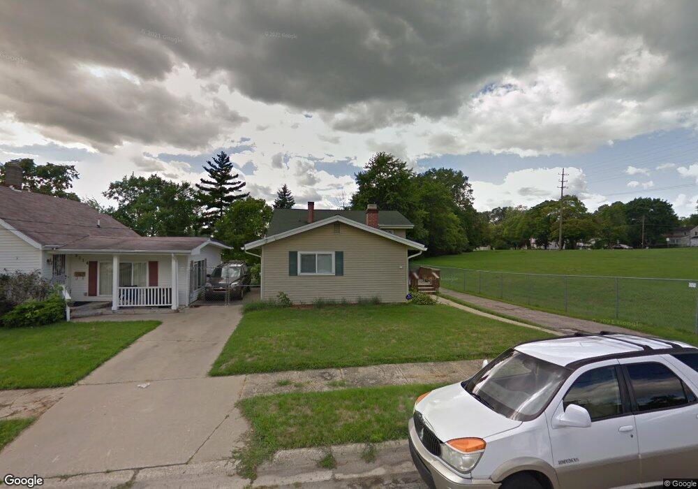
2110 Dwight Ave Flint, MI 48503
South Parks NeighborhoodEstimated Value: $99,000 - $149,000
3
Beds
2
Baths
1,863
Sq Ft
$65/Sq Ft
Est. Value
About This Home
This home is located at 2110 Dwight Ave, Flint, MI 48503 and is currently estimated at $121,367, approximately $65 per square foot. 2110 Dwight Ave is a home located in Genesee County with nearby schools including Freeman Elementary School, Flint Southwestern Classical Academy, and International Academy of Flint (K-12).
Ownership History
Date
Name
Owned For
Owner Type
Purchase Details
Closed on
Aug 19, 2020
Sold by
Goza Wayne and Goza Ona Kay
Bought by
Goza Wayne H and Goza Ona Kay
Current Estimated Value
Purchase Details
Closed on
Mar 14, 2008
Sold by
Goza Ona Kay
Bought by
Goza Wayne and Goza Ona Kay
Purchase Details
Closed on
Oct 8, 2004
Sold by
Williams Josie
Bought by
Goza Ona Kay
Create a Home Valuation Report for This Property
The Home Valuation Report is an in-depth analysis detailing your home's value as well as a comparison with similar homes in the area
Home Values in the Area
Average Home Value in this Area
Purchase History
| Date | Buyer | Sale Price | Title Company |
|---|---|---|---|
| Goza Wayne H | -- | None Available | |
| Goza Wayne | -- | None Available | |
| Goza Ona Kay | -- | -- |
Source: Public Records
Tax History
| Year | Tax Paid | Tax Assessment Tax Assessment Total Assessment is a certain percentage of the fair market value that is determined by local assessors to be the total taxable value of land and additions on the property. | Land | Improvement |
|---|---|---|---|---|
| 2025 | $1,235 | $33,800 | $0 | $0 |
| 2024 | $1,111 | $28,600 | $0 | $0 |
| 2023 | $1,086 | $24,600 | $0 | $0 |
| 2022 | $0 | $21,700 | $0 | $0 |
| 2021 | $1,134 | $18,800 | $0 | $0 |
| 2020 | $1,014 | $18,600 | $0 | $0 |
| 2019 | $983 | $16,000 | $0 | $0 |
| 2018 | $1,002 | $16,700 | $0 | $0 |
| 2017 | $972 | $0 | $0 | $0 |
| 2016 | $965 | $0 | $0 | $0 |
| 2015 | -- | $0 | $0 | $0 |
| 2014 | -- | $0 | $0 | $0 |
| 2012 | -- | $19,900 | $0 | $0 |
Source: Public Records
Map
Nearby Homes
- 2050 Ferris Ave
- 2224 Crocker Ave
- 2010 Crocker Ave
- 420 Pingree Ave
- 2221 Howard Ave
- 149 E Tobias St
- 149 E Linsey Blvd
- 1720 Park St
- 133 E Oakley St
- 2033 Seymour Ave
- 3218 Collingwood Pkwy
- 1851 Seymour Ave
- 213 E Lakeview Ave
- 636 Partridge St
- 517 Morley Ave
- 115 E Livingston Dr
- 1517 Tacoma St
- 1511 Tacoma St
- 1510 S Franklin Ave
- 1840 Mcphail St
- 2114 Dwight Ave
- 2118 Dwight Ave
- 2109 Dwight Ave
- 2113 Dwight Ave
- 2110 Stanford Ave
- 615 Lippincott Blvd
- 714 Lippincott Blvd Unit Bldg-Unit
- 714 Lippincott Blvd
- 2122 Stanford Ave
- 2118 Stanford Ave
- 603 Lippincott Blvd
- 2054 Dwight Ave
- 701 Lippincott Blvd
- 705 Lippincott Blvd
- 2058 Ferris Ave
- 2050 Dwight Ave
- 802 Lippincott Blvd
- 2049 Ferris Ave
- 2113 Stanford Ave
- 2117 Stanford Ave
Your Personal Tour Guide
Ask me questions while you tour the home.