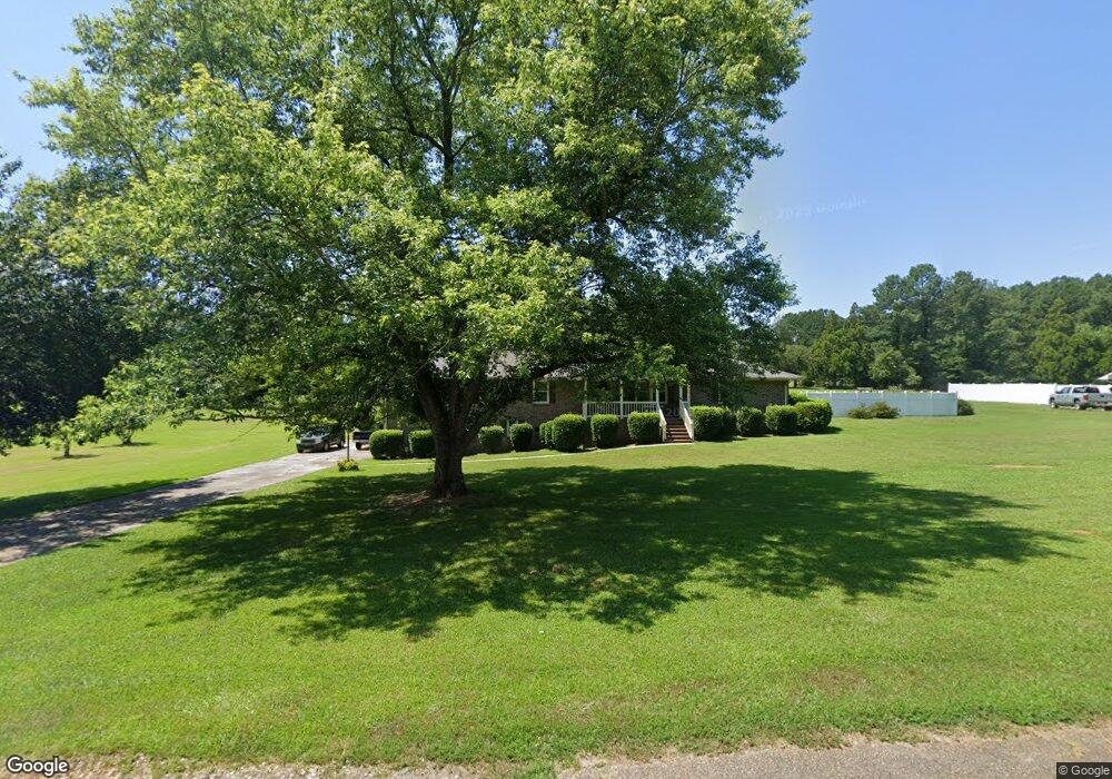
2110 Karen Ln Anderson, SC 29626
Estimated Value: $307,000 - $432,504
4
Beds
2
Baths
2,400
Sq Ft
$156/Sq Ft
Est. Value
About This Home
This home is located at 2110 Karen Ln, Anderson, SC 29626 and is currently estimated at $373,626, approximately $155 per square foot. 2110 Karen Ln is a home located in Anderson County with nearby schools including McLees Elementary School, Robert Anderson Middle School, and Westside High School.
Ownership History
Date
Name
Owned For
Owner Type
Purchase Details
Closed on
Nov 14, 2014
Sold by
Estate Of Vickie D Burden and Burden Frankie
Bought by
Burden Frankie
Current Estimated Value
Purchase Details
Closed on
Jul 13, 2010
Sold by
Burden Frankie
Bought by
Burden Vickie D
Purchase Details
Closed on
Oct 9, 2008
Sold by
Fannie Mae
Bought by
Burden Frankie
Home Financials for this Owner
Home Financials are based on the most recent Mortgage that was taken out on this home.
Original Mortgage
$135,000
Interest Rate
6.34%
Mortgage Type
Purchase Money Mortgage
Purchase Details
Closed on
Aug 13, 2008
Sold by
Vanadore Ronnie E and Vanadore Denise M
Bought by
Federal National Mortgage Association
Home Financials for this Owner
Home Financials are based on the most recent Mortgage that was taken out on this home.
Original Mortgage
$135,000
Interest Rate
6.34%
Mortgage Type
Purchase Money Mortgage
Create a Home Valuation Report for This Property
The Home Valuation Report is an in-depth analysis detailing your home's value as well as a comparison with similar homes in the area
Home Values in the Area
Average Home Value in this Area
Purchase History
| Date | Buyer | Sale Price | Title Company |
|---|---|---|---|
| Burden Frankie | -- | -- | |
| Burden Vickie D | -- | -- | |
| Burden Frankie | -- | -- | |
| Federal National Mortgage Association | $150,000 | -- |
Source: Public Records
Mortgage History
| Date | Status | Borrower | Loan Amount |
|---|---|---|---|
| Previous Owner | Burden Frankie | $135,000 |
Source: Public Records
Tax History Compared to Growth
Tax History
| Year | Tax Paid | Tax Assessment Tax Assessment Total Assessment is a certain percentage of the fair market value that is determined by local assessors to be the total taxable value of land and additions on the property. | Land | Improvement |
|---|---|---|---|---|
| 2024 | $1,075 | $12,710 | $2,860 | $9,850 |
| 2023 | $1,075 | $12,710 | $2,860 | $9,850 |
| 2022 | $1,074 | $12,710 | $2,860 | $9,850 |
| 2021 | $926 | $10,300 | $2,150 | $8,150 |
| 2020 | $920 | $10,300 | $2,150 | $8,150 |
| 2019 | $920 | $10,300 | $2,150 | $8,150 |
| 2018 | $936 | $10,300 | $2,150 | $8,150 |
| 2017 | -- | $10,300 | $2,150 | $8,150 |
| 2016 | $1,100 | $13,400 | $2,150 | $11,250 |
| 2015 | $4,264 | $7,830 | $330 | $7,500 |
| 2014 | $998 | $7,830 | $330 | $7,500 |
Source: Public Records
Map
Nearby Homes
- 4123 Old Portman Rd
- 108 Lakewood Ln
- 4082 Old Portman Rd
- 102 Country Garden Ln
- 2153 Scarborough Rd
- 100 Toliver Ln
- 924 Axmann Dr
- 424 Shore Line Dr
- 401 New Hope Rd
- 433 Shore Line Dr
- 385 New Hope Rd
- 143 Pheasant Ridge Dr
- LTS C+1 Scarborough Rd
- 201 Knollwood Dr
- 110 Peartree Ln
- 144 Old Asbury Rd
- 114 Peartree Ln
- 1053 Stoneham Cir
- 202 Highway 187 S
- TR 1-A, TR-2, TR-S Singleton Rd