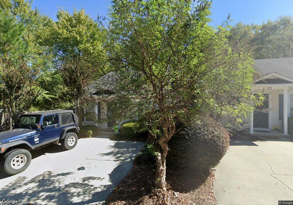
2110 Lions Paw Dr Augusta, GA 30909
National Hills NeighborhoodEstimated Value: $178,257 - $184,000
2
Beds
2
Baths
1,092
Sq Ft
$165/Sq Ft
Est. Value
About This Home
This home is located at 2110 Lions Paw Dr, Augusta, GA 30909 and is currently estimated at $180,314, approximately $165 per square foot. 2110 Lions Paw Dr is a home located in Richmond County with nearby schools including Garrett Elementary School, Tutt Middle School, and Johnson Magnet.
Ownership History
Date
Name
Owned For
Owner Type
Purchase Details
Closed on
Jul 18, 2024
Sold by
Bragg Brian W
Bought by
2110 Lions Paw Llc
Current Estimated Value
Purchase Details
Closed on
May 25, 2007
Sold by
Flanagan Larry W and Hamilton Julie S
Bought by
Bragg Brian W and Bragg Tammy
Purchase Details
Closed on
Sep 5, 2003
Sold by
St Kitts Llc
Bought by
Flanagan Larry W and Hamilton Julie S
Home Financials for this Owner
Home Financials are based on the most recent Mortgage that was taken out on this home.
Original Mortgage
$61,110
Interest Rate
5.94%
Mortgage Type
Purchase Money Mortgage
Create a Home Valuation Report for This Property
The Home Valuation Report is an in-depth analysis detailing your home's value as well as a comparison with similar homes in the area
Home Values in the Area
Average Home Value in this Area
Purchase History
| Date | Buyer | Sale Price | Title Company |
|---|---|---|---|
| 2110 Lions Paw Llc | -- | -- | |
| Bragg Brian W | $94,300 | None Available | |
| Flanagan Larry W | $67,900 | -- |
Source: Public Records
Mortgage History
| Date | Status | Borrower | Loan Amount |
|---|---|---|---|
| Previous Owner | Flanagan Larry W | $61,110 |
Source: Public Records
Tax History Compared to Growth
Tax History
| Year | Tax Paid | Tax Assessment Tax Assessment Total Assessment is a certain percentage of the fair market value that is determined by local assessors to be the total taxable value of land and additions on the property. | Land | Improvement |
|---|---|---|---|---|
| 2024 | $2,281 | $67,328 | $8,000 | $59,328 |
| 2023 | $2,119 | $60,108 | $8,000 | $52,108 |
| 2022 | $1,588 | $45,610 | $8,000 | $37,610 |
| 2021 | $1,474 | $37,853 | $8,000 | $29,853 |
| 2020 | $1,452 | $37,853 | $8,000 | $29,853 |
| 2019 | $1,381 | $33,071 | $6,800 | $26,271 |
| 2018 | $1,389 | $33,071 | $6,800 | $26,271 |
| 2017 | $1,383 | $33,071 | $6,800 | $26,271 |
| 2016 | $1,384 | $33,071 | $6,800 | $26,271 |
| 2015 | $1,393 | $33,071 | $6,800 | $26,271 |
| 2014 | $1,395 | $33,071 | $6,800 | $26,271 |
Source: Public Records
Map
Nearby Homes
- 1056 Bertram Rd
- 1058 Bertram Rd
- 1060 Bertram Rd
- 2007 Summer Valley Way
- 2023 Summer Valley Way
- 2008 Helmsdale Ln
- 2004 Destin Ln
- 2514 Commons Trace
- 2006 Glennfield Ln
- 2805 Brickrun Way
- 2171 River Park Ct
- 1017 Stevens Creek Rd
- 1017 Stevens Creek Rd Unit J195
- 1017 Stevens Creek Rd Unit 157e
- 1405 Colony Place Dr
- 2717 Dan St
- 2705 Bolling Rd
- 1221 Kendal Ct
- 518 Ellison Way
- 2108 Turtle Ct
- 2108 Lions Paw Dr
- 2106 Lions Paw Dr
- 2104 Lions Paw Dr
- 2102 Lions Paw Dr
- 2107 Lions Paw Dr
- 2105 Lions Paw Dr
- 2103 Lions Paw Dr
- 2101 Lions Paw Dr
- 2301 Lions Gate Dr
- 2303 Lions Gate Dr
- 2210 Lions Mane Dr
- 2208 Lions Mane Dr
- 2305 Lions Gate Dr
- 2206 Lions Mane Dr
- 2307 Lions Gate Dr
- 1036 Bertram Rd
- 2204 Lions Mane Dr
- 2309 Lions Gate Dr
- 1038 Bertram Rd
- 2202 Lions Mane Dr