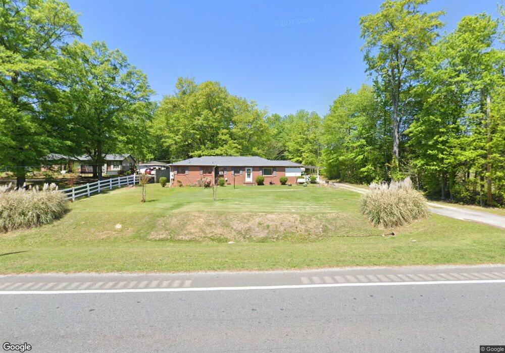
2110 MacLand Rd SW Marietta, GA 30064
West Cobb NeighborhoodEstimated Value: $169,000 - $310,000
2
Beds
2
Baths
1,426
Sq Ft
$183/Sq Ft
Est. Value
About This Home
This home is located at 2110 MacLand Rd SW, Marietta, GA 30064 and is currently estimated at $261,525, approximately $183 per square foot. 2110 MacLand Rd SW is a home located in Cobb County with nearby schools including Dowell Elementary School, Lovinggood Middle School, and Hillgrove High School.
Ownership History
Date
Name
Owned For
Owner Type
Purchase Details
Closed on
May 15, 2010
Sold by
Hall Robert E
Bought by
Anderson Frank L and Anderson Brenda C
Current Estimated Value
Purchase Details
Closed on
Oct 12, 2004
Sold by
Anderson Brenda C
Bought by
Anderson Brenda C and Anderson Frank
Create a Home Valuation Report for This Property
The Home Valuation Report is an in-depth analysis detailing your home's value as well as a comparison with similar homes in the area
Home Values in the Area
Average Home Value in this Area
Purchase History
| Date | Buyer | Sale Price | Title Company |
|---|---|---|---|
| Anderson Frank L | -- | -- | |
| Anderson Frank L | $10,000 | -- | |
| Anderson Brenda C | -- | -- |
Source: Public Records
Tax History Compared to Growth
Tax History
| Year | Tax Paid | Tax Assessment Tax Assessment Total Assessment is a certain percentage of the fair market value that is determined by local assessors to be the total taxable value of land and additions on the property. | Land | Improvement |
|---|---|---|---|---|
| 2024 | $512 | $84,724 | $39,176 | $45,548 |
| 2023 | $270 | $72,608 | $32,056 | $40,552 |
| 2022 | $446 | $62,632 | $22,080 | $40,552 |
| 2021 | $418 | $53,380 | $19,588 | $33,792 |
| 2020 | $407 | $49,464 | $15,672 | $33,792 |
| 2019 | $411 | $50,956 | $21,368 | $29,588 |
| 2018 | $385 | $42,180 | $15,672 | $26,508 |
| 2017 | $334 | $42,180 | $15,672 | $26,508 |
| 2016 | $269 | $35,412 | $8,904 | $26,508 |
| 2015 | $287 | $35,412 | $8,904 | $26,508 |
| 2014 | $235 | $30,008 | $0 | $0 |
Source: Public Records
Map
Nearby Homes
- 1985 Freestone Way
- 2002 Freestone Way
- Hillside Plan at Freestone Station
- Hendricks Plan at Freestone Station
- Antioch Plan at Freestone Station
- Hedgerow Plan at Freestone Station
- Monteluce Plan at Freestone Station
- Oakshire Plan at Freestone Station
- 2009 Freestone Way
- 1952 Freestone Way
- 1960 McEachern Manor Dr SW
- 2409 Caneridge Point SW
- 1946 MacLand Rd SW
- 2250 Caneridge Trail SW
- 1896 Grove Field Ln Unit 29B
- 2001 MacLand Square Dr Unit 11
- 2040 Hardwood Cir SW Unit 3
- 2120 MacLand Rd SW
- 2140 MacLand Rd SW
- 2086 MacLand Rd SW
- 2149 MacLand Rd SW
- 2143 MacLand Rd SW
- 2130 MacLand Rd SW
- 2094 MacLand Rd
- 2090 MacLand Rd SW
- 2084 MacLand Rd SW
- 2071 MacLand Rd SW
- 2150 MacLand Rd SW
- 2085 MacLand Rd SW
- 2215 MacLand Rd SW
- 2080 MacLand Rd SW
- 2217 MacLand Rd SW
- 2144 Suncrest Point
- 2000 MacLand Rd SW
- 2083 Moccasin Way SW
- 0 Moccasin Way
- 2010 MacLand Rd SW