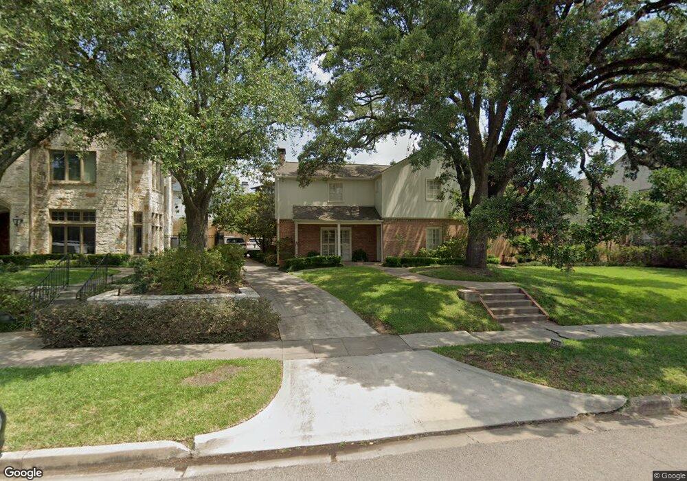
2110 Pine Valley Dr Houston, TX 77019
River Oaks NeighborhoodEstimated Value: $2,408,587 - $3,270,000
4
Beds
5
Baths
4,375
Sq Ft
$651/Sq Ft
Est. Value
About This Home
This home is located at 2110 Pine Valley Dr, Houston, TX 77019 and is currently estimated at $2,849,196, approximately $651 per square foot. 2110 Pine Valley Dr is a home located in Harris County with nearby schools including River Oaks Elementary School, Lanier Middle School, and Lamar High School.
Ownership History
Date
Name
Owned For
Owner Type
Purchase Details
Closed on
Dec 30, 1998
Sold by
Tuthill Frederick J and Tuthill Constance D
Bought by
Miller L Don and Miller Dana A
Current Estimated Value
Home Financials for this Owner
Home Financials are based on the most recent Mortgage that was taken out on this home.
Original Mortgage
$344,000
Outstanding Balance
$77,119
Interest Rate
6.37%
Estimated Equity
$2,772,077
Create a Home Valuation Report for This Property
The Home Valuation Report is an in-depth analysis detailing your home's value as well as a comparison with similar homes in the area
Home Values in the Area
Average Home Value in this Area
Purchase History
| Date | Buyer | Sale Price | Title Company |
|---|---|---|---|
| Miller L Don | -- | Regency Title |
Source: Public Records
Mortgage History
| Date | Status | Borrower | Loan Amount |
|---|---|---|---|
| Open | Miller L Don | $344,000 |
Source: Public Records
Tax History Compared to Growth
Tax History
| Year | Tax Paid | Tax Assessment Tax Assessment Total Assessment is a certain percentage of the fair market value that is determined by local assessors to be the total taxable value of land and additions on the property. | Land | Improvement |
|---|---|---|---|---|
| 2025 | $39,545 | $2,989,000 | $1,402,556 | $1,586,444 |
| 2024 | $39,545 | $2,410,160 | $1,312,069 | $1,098,091 |
| 2023 | $39,545 | $2,295,645 | $1,266,825 | $1,028,820 |
| 2022 | $48,706 | $2,070,000 | $1,176,338 | $893,662 |
| 2021 | $47,895 | $2,054,989 | $1,131,094 | $923,895 |
| 2020 | $49,381 | $2,039,197 | $1,131,094 | $908,103 |
| 2019 | $48,092 | $1,900,556 | $1,131,094 | $769,462 |
| 2018 | $38,535 | $1,909,029 | $1,176,338 | $732,691 |
| 2017 | $48,041 | $1,909,029 | $1,176,338 | $732,691 |
| 2016 | $43,674 | $1,863,785 | $1,131,094 | $732,691 |
| 2015 | $29,329 | $2,063,636 | $1,204,389 | $859,247 |
| 2014 | $29,329 | $1,870,941 | $1,094,899 | $776,042 |
Source: Public Records
Map
Nearby Homes
- 1216 S Shepherd Dr
- 2131 Brentwood Dr
- 2116 Looscan Ln
- 2247 Chilton Rd
- 2117 Chilton Rd
- 2204 Inwood Dr
- 1201 Mcduffie St Unit 198
- 2105 Del Monte Dr
- 1025 S Shepherd Dr Unit 209
- 1601 S Shepherd Dr Unit 20
- 1601 S Shepherd Dr Unit 29
- 1601 S Shepherd Dr Unit 138
- 2413 Brentwood Dr
- 1005 S Shepherd Dr Unit 406
- 1005 S Shepherd Dr Unit 304
- 1509 Mcduffie St
- 2217 Pelham Dr
- 1711 Huldy St Unit A
- 1606 Hazard St
- 902 S Shepherd Dr
- 2118 Pine Valley Dr
- 2104 Pine Valley Dr
- 2203 Looscan Ln
- 2209 Looscan Ln
- 2126 Pine Valley Dr
- 2111 Pine Valley Dr
- 2119 Pine Valley Dr
- 2101 Pine Valley Dr
- 2217 Looscan Ln
- 1307 Denman Rd
- 1307 Denman St
- 2153 Looscan Ln
- 2147 Looscan Ln
- 1300 S Shepherd Dr
- 2140 Pine Valley Dr
- 2204 Looscan Ln
- 2125 Pine Valley Dr
- 2148 Looscan Ln
- 2112 Brentwood Dr
- 2133 Pine Valley Dr