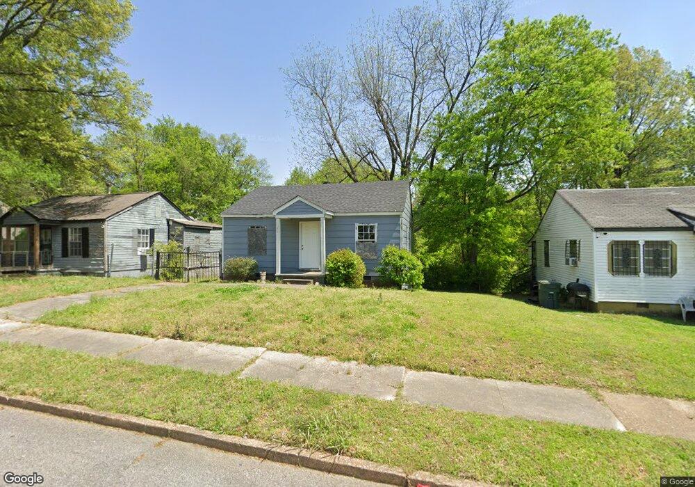
2110 Rile St Memphis, TN 38109
South Memphis NeighborhoodEstimated Value: $36,000 - $87,000
2
Beds
1
Bath
648
Sq Ft
$89/Sq Ft
Est. Value
About This Home
This home is located at 2110 Rile St, Memphis, TN 38109 and is currently estimated at $57,840, approximately $89 per square foot. 2110 Rile St is a home located in Shelby County with nearby schools including Riverview Middle School, Hamilton High School, and Vision Preparatory Charter School.
Ownership History
Date
Name
Owned For
Owner Type
Purchase Details
Closed on
May 30, 2025
Sold by
Abram Carmesha
Bought by
Talley And Associates Llc
Current Estimated Value
Purchase Details
Closed on
Jan 14, 2017
Sold by
Porter Forrest J and Thompson Rosalyn P
Bought by
Abram Carmesna
Purchase Details
Closed on
Dec 12, 2008
Sold by
Porter Forrest J
Bought by
Thompson Roslyn P
Purchase Details
Closed on
Jul 22, 2004
Sold by
Porter Cutles E
Bought by
Porter Forrest J
Purchase Details
Closed on
Jul 29, 2000
Sold by
Porter Mattie Lee and Porter Franklin D
Bought by
Porter Cutles E
Create a Home Valuation Report for This Property
The Home Valuation Report is an in-depth analysis detailing your home's value as well as a comparison with similar homes in the area
Home Values in the Area
Average Home Value in this Area
Purchase History
| Date | Buyer | Sale Price | Title Company |
|---|---|---|---|
| Talley And Associates Llc | -- | None Listed On Document | |
| Abram Carmesna | $1,250 | None Available | |
| Thompson Roslyn P | -- | None Available | |
| Porter Forrest J | -- | -- | |
| Porter Cutles E | -- | -- |
Source: Public Records
Tax History Compared to Growth
Tax History
| Year | Tax Paid | Tax Assessment Tax Assessment Total Assessment is a certain percentage of the fair market value that is determined by local assessors to be the total taxable value of land and additions on the property. | Land | Improvement |
|---|---|---|---|---|
| 2025 | $227 | $10,325 | $1,250 | $9,075 |
| 2024 | $227 | $6,700 | $875 | $5,825 |
| 2023 | $408 | $6,700 | $875 | $5,825 |
| 2022 | $408 | $6,700 | $875 | $5,825 |
| 2021 | $413 | $6,700 | $875 | $5,825 |
| 2020 | $400 | $5,525 | $875 | $4,650 |
| 2019 | $400 | $5,525 | $875 | $4,650 |
| 2018 | $400 | $5,525 | $875 | $4,650 |
| 2017 | $227 | $5,525 | $875 | $4,650 |
| 2016 | $251 | $5,750 | $0 | $0 |
| 2014 | $251 | $5,750 | $0 | $0 |
Source: Public Records
Map
Nearby Homes
- 2105 Farrington St
- 2119 Farrington St
- 2095 Rile St
- 2076 Farrington St
- 2100 Riverside Blvd
- 2059 Rile St
- 2084 Benford St
- 247 W Frank Ave
- 335 Outer Pkwy
- 380 Outer Pkwy
- 324 Outer Pkwy
- 20 W Davant Ave
- 2099 Rile St
- 250 1st Ave
- 274 W Mckellar Ave
- 260 W Mckellar Ave
- 1872 Rile St
- 123 W Frank Ave
- 1852 Swift St
- 372 Hollowell Ave