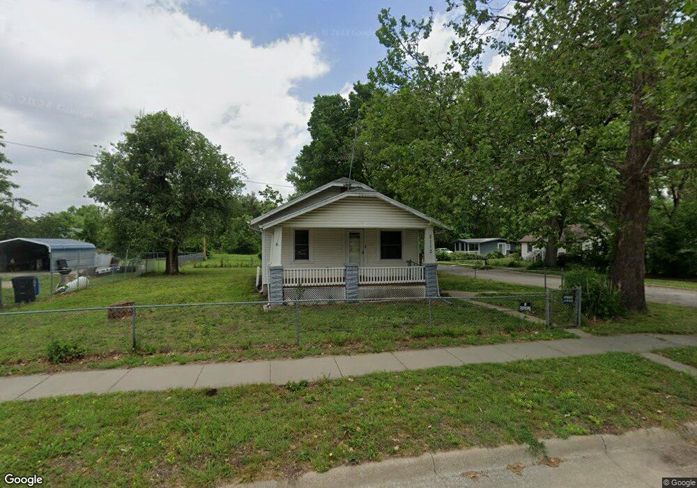
2110 SE 5th St Topeka, KS 66607
East Topeka NeighborhoodEstimated Value: $43,000 - $68,000
2
Beds
1
Bath
670
Sq Ft
$86/Sq Ft
Est. Value
About This Home
This home is located at 2110 SE 5th St, Topeka, KS 66607 and is currently estimated at $57,902, approximately $86 per square foot. 2110 SE 5th St is a home located in Shawnee County with nearby schools including Scott Dual Language Magnet Elementary School, Chase Middle School, and Highland Park High School.
Ownership History
Date
Name
Owned For
Owner Type
Purchase Details
Closed on
Feb 17, 2017
Sold by
Anspaugh Kenneth Ray and Kansas Shawnee
Bought by
Mary 2020 Llc
Current Estimated Value
Purchase Details
Closed on
May 7, 2009
Sold by
Whitford L B and Whitford Donna K
Bought by
King Harden Ramona F
Create a Home Valuation Report for This Property
The Home Valuation Report is an in-depth analysis detailing your home's value as well as a comparison with similar homes in the area
Home Values in the Area
Average Home Value in this Area
Purchase History
| Date | Buyer | Sale Price | Title Company |
|---|---|---|---|
| Mary 2020 Llc | -- | None Available | |
| King Harden Ramona F | -- | None Available |
Source: Public Records
Tax History Compared to Growth
Tax History
| Year | Tax Paid | Tax Assessment Tax Assessment Total Assessment is a certain percentage of the fair market value that is determined by local assessors to be the total taxable value of land and additions on the property. | Land | Improvement |
|---|---|---|---|---|
| 2025 | $474 | $3,931 | -- | -- |
| 2023 | $474 | $3,465 | $0 | $0 |
| 2022 | $436 | $3,238 | $0 | $0 |
| 2021 | $425 | $2,944 | $0 | $0 |
| 2020 | $340 | $2,441 | $0 | $0 |
| 2019 | $335 | $2,393 | $0 | $0 |
| 2018 | $162 | $2,323 | $0 | $0 |
| 2017 | $282 | $2,323 | $0 | $0 |
| 2014 | $457 | $3,117 | $0 | $0 |
Source: Public Records
Map
Nearby Homes
- 501 SE Davies St
- 428 SE Gray St
- 2029 SE 10th Ave
- 2928 SE 6th Ave
- 711 SE Lawrence St
- 816 SE Wear Ave
- 206 SE Klein St
- 406 NE Ohio Ave
- 426 NE Grattan St
- 511 NE Scotland Ave
- 505 SE Fairfax St
- 538 NE Lake St
- 537 NE Lake St
- 615 NE Freeman Ave
- 1316 SE 18th Terrace
- 703 NE Green St
- 732 NE Twiss Ave
- 1400 NE Sardou Ave
- 2225 SE 21st Terrace
- 702 NE Winfield Ave
- 2100 SE 5th St
- 421 SE Davies St
- 432 SE Davies St
- 438 SE Davies St
- 2101 SE 5th St
- 505 SE Davies St
- 426 SE Davies St
- 500 SE Davies St
- 509 SE Davies St
- 508 SE Davies St
- 504 SE Davies St
- 416 SE Davies St
- 515 SE Davies St
- 433 SE Burr St
- 429 SE Burr St
- 2023 SE 5th St
- 510 SE Davies St
- 425 SE Burr St
- 517 SE Davies St
- 519 SE Davies St