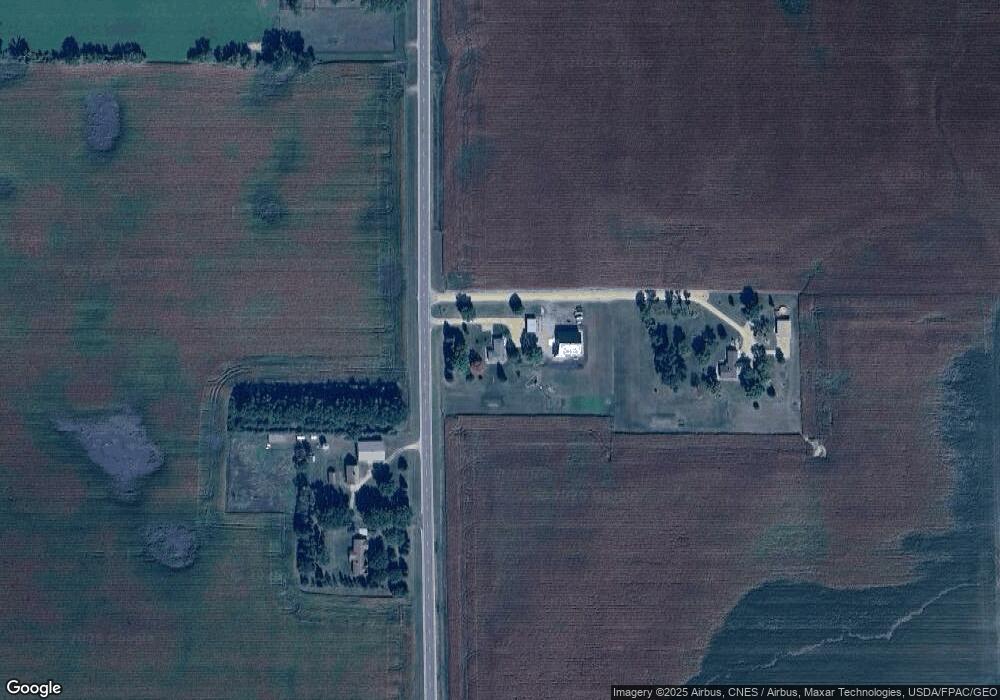
21107 594th Ave Mankato, MN 56001
Estimated Value: $439,000 - $582,000
3
Beds
2
Baths
1,240
Sq Ft
$408/Sq Ft
Est. Value
About This Home
This home is located at 21107 594th Ave, Mankato, MN 56001 and is currently estimated at $505,666, approximately $407 per square foot. 21107 594th Ave is a home located in Blue Earth County with nearby schools including Eagle Lake Elementary School, Prairie Winds Middle School, and Mankato East Senior High School.
Ownership History
Date
Name
Owned For
Owner Type
Purchase Details
Closed on
Dec 9, 2021
Sold by
Larson Joel C and Larson Beverly J
Bought by
Larson Brady and Larson Bridget
Current Estimated Value
Home Financials for this Owner
Home Financials are based on the most recent Mortgage that was taken out on this home.
Original Mortgage
$267,000
Outstanding Balance
$245,668
Interest Rate
3.14%
Mortgage Type
New Conventional
Estimated Equity
$259,998
Create a Home Valuation Report for This Property
The Home Valuation Report is an in-depth analysis detailing your home's value as well as a comparison with similar homes in the area
Home Values in the Area
Average Home Value in this Area
Purchase History
| Date | Buyer | Sale Price | Title Company |
|---|---|---|---|
| Larson Brady | $389,900 | Stewart Title |
Source: Public Records
Mortgage History
| Date | Status | Borrower | Loan Amount |
|---|---|---|---|
| Open | Larson Brady | $267,000 |
Source: Public Records
Tax History Compared to Growth
Tax History
| Year | Tax Paid | Tax Assessment Tax Assessment Total Assessment is a certain percentage of the fair market value that is determined by local assessors to be the total taxable value of land and additions on the property. | Land | Improvement |
|---|---|---|---|---|
| 2025 | $2,734 | $549,500 | $92,400 | $457,100 |
| 2024 | $2,734 | $311,300 | $94,200 | $217,100 |
| 2023 | $2,582 | $317,200 | $93,200 | $224,000 |
| 2022 | $2,396 | $293,400 | $90,000 | $203,400 |
| 2021 | $2,138 | $245,400 | $88,400 | $157,000 |
| 2020 | $1,922 | $212,400 | $73,800 | $138,600 |
| 2019 | $1,836 | $212,400 | $73,800 | $138,600 |
| 2018 | $1,750 | $203,800 | $73,000 | $130,800 |
| 2017 | $1,432 | $195,700 | $73,800 | $121,900 |
| 2016 | $1,380 | $181,400 | $66,800 | $114,600 |
| 2015 | $14 | $175,200 | $66,800 | $108,400 |
| 2014 | $1,516 | $165,200 | $60,000 | $105,200 |
Source: Public Records
Map
Nearby Homes
- 21xxx 594th Ave
- 21xxx 594th Ave Unit co rd 86 or ktoe rd
- 309 Falcon Run
- 306 Falcon Run
- 121 Hawk Ave
- 409 Owl Ln
- 205 Peregrine Ave
- 101 Hawk Ave
- 532 Le Sueur Ave
- 3105 3105 Bassett Dr
- 3200 3200 Noble Dr
- 3200 Noble Dr
- 3209 3209 Scotch Ln
- 3209 Scotch Ln
- 3205 Scotch Ln
- 3216 Scotch Ln
- 3212 Scotch Ln
- 3211 3211 Scotch Ln
- 3208 Scotch Ln
- 3204 Scotch Ln
- 21115 594th Ave
- 21052 594th Ave
- 21208 594th Ave
- 21208 594th Ave Unit Cty Rd 86
- 21222 594th Ave
- 21260 594th Ave
- 20904 597th Ave
- 21407 594th Ave
- 21304 594th Ave
- 21366 594th Ave
- 20799 594th Ave
- 59128 Kittyhawk Cir
- 20752 594th Ave
- 59739 211th St
- 59172 Kittyhawk Cir
- 20712 State Highway 83
- 58989 211th Ln
- 59004 Kittyhawk Cir
- 103 Peregrine Ave
- 105 Ave