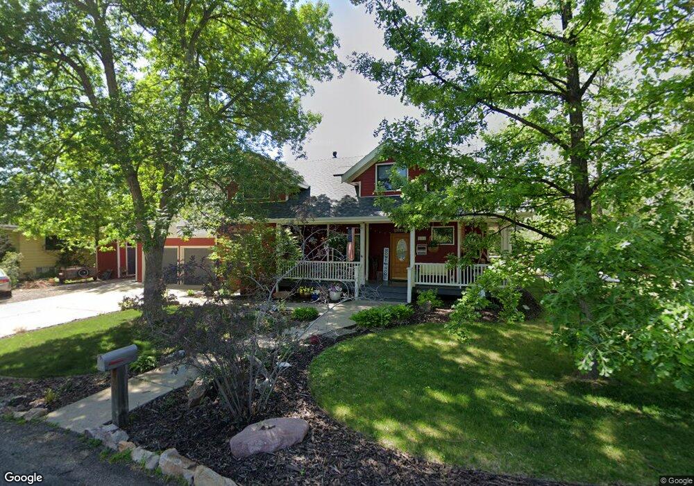
2111 10th Ave Longmont, CO 80501
Loomiller NeighborhoodEstimated Value: $751,000 - $929,000
6
Beds
4
Baths
2,197
Sq Ft
$377/Sq Ft
Est. Value
About This Home
This home is located at 2111 10th Ave, Longmont, CO 80501 and is currently estimated at $829,099, approximately $377 per square foot. 2111 10th Ave is a home located in Boulder County with nearby schools including Mountain View Elementary School, Longs Peak Middle School, and Longmont High School.
Ownership History
Date
Name
Owned For
Owner Type
Purchase Details
Closed on
Aug 30, 2013
Sold by
Kellam Jeffrey A and Kellam Jill M
Bought by
Vogel Aaron C
Current Estimated Value
Home Financials for this Owner
Home Financials are based on the most recent Mortgage that was taken out on this home.
Original Mortgage
$264,000
Outstanding Balance
$177,328
Interest Rate
4.42%
Mortgage Type
New Conventional
Estimated Equity
$651,771
Purchase Details
Closed on
Dec 2, 2002
Sold by
Schuetze Gary and Schuetze Gail
Bought by
Kellam Jeffrey A
Home Financials for this Owner
Home Financials are based on the most recent Mortgage that was taken out on this home.
Original Mortgage
$300,700
Interest Rate
6.28%
Purchase Details
Closed on
Apr 15, 1993
Bought by
Vogel Aaron C and Vogel Michelle L
Create a Home Valuation Report for This Property
The Home Valuation Report is an in-depth analysis detailing your home's value as well as a comparison with similar homes in the area
Home Values in the Area
Average Home Value in this Area
Purchase History
| Date | Buyer | Sale Price | Title Company |
|---|---|---|---|
| Vogel Aaron C | $375,000 | Stewart Title | |
| Kellam Jeffrey A | $435,000 | -- | |
| Vogel Aaron C | $30,000 | -- |
Source: Public Records
Mortgage History
| Date | Status | Borrower | Loan Amount |
|---|---|---|---|
| Open | Vogel Aaron C | $264,000 | |
| Previous Owner | Kellam Jeffrey A | $300,700 |
Source: Public Records
Tax History
| Year | Tax Paid | Tax Assessment Tax Assessment Total Assessment is a certain percentage of the fair market value that is determined by local assessors to be the total taxable value of land and additions on the property. | Land | Improvement |
|---|---|---|---|---|
| 2025 | $5,219 | $52,394 | $8,838 | $43,556 |
| 2024 | $5,219 | $52,394 | $8,838 | $43,556 |
| 2023 | $5,148 | $54,565 | $9,842 | $48,408 |
| 2022 | $4,424 | $44,709 | $7,242 | $37,467 |
| 2021 | $4,482 | $45,996 | $7,450 | $38,546 |
| 2020 | $3,472 | $35,743 | $7,508 | $28,235 |
| 2019 | $3,417 | $35,743 | $7,508 | $28,235 |
| 2018 | $3,239 | $34,099 | $6,768 | $27,331 |
| 2017 | $3,195 | $37,698 | $7,482 | $30,216 |
| 2016 | $2,972 | $31,092 | $8,040 | $23,052 |
| 2015 | $2,832 | $26,603 | $8,438 | $18,165 |
| 2014 | $2,485 | $26,603 | $8,438 | $18,165 |
Source: Public Records
Map
Nearby Homes
- 925 Hover Ridge Cir Unit 10
- 903 Hover Ridge Cir Unit 2
- 927 Hover Ridge Cir
- 1036 Sumac St
- 835 Hillside Ct
- 1826 9th Ave
- 1045 Rose St
- 819 Widgeon Cir
- 2335 Brendy Ct
- 1217 Hunter Ct
- 1230 Hover St
- 24 Cedar Ct
- 6 Sunset Cir
- 715 Hover St
- 23 Cedar Ct
- 1239 Sunset St
- 1208 Juniper St
- 963 Reynolds Farm Ln Unit B12
- 19 Dale Place
- 850 Judson St
- 2111 10th Ave
- 2107 10th Ave
- 960 Rangeview Ln
- 2112 Rangeview Ln
- 940 Rangeview Ln
- 2112 10th Ave
- 945 Spencer St
- 957 Spencer St
- 2106 10th Ave
- 2118 10th Ave
- 929 Spencer St
- 2100 10th Ave
- 2113 Rangeview Ln
- 2107 Rangeview Ln
- 2122 10th Ave
- 942 Spencer St
- 948 Spencer St
- 2111 Rangeview Ln
- 936 Spencer St
- 909 Spencer St
Your Personal Tour Guide
Ask me questions while you tour the home.