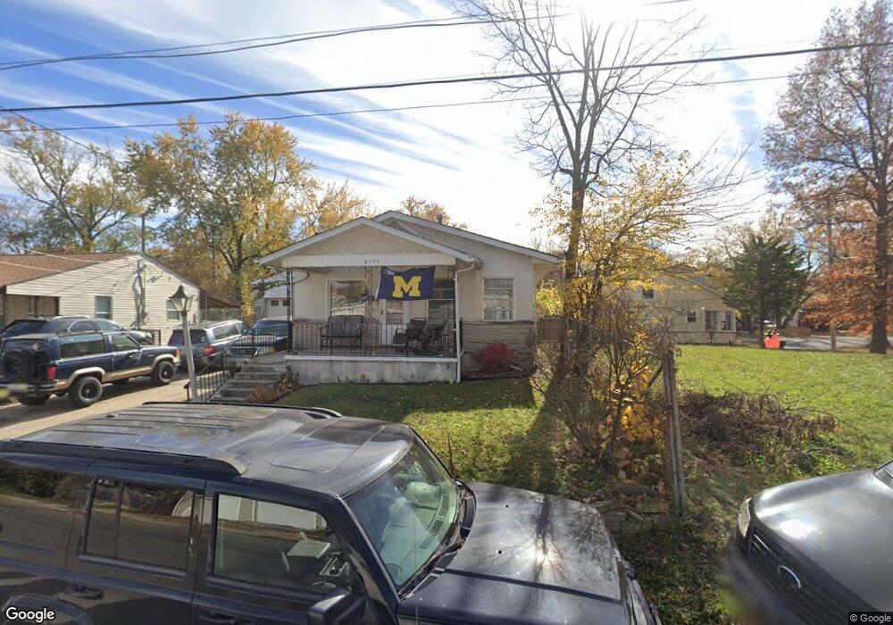
2111 Denune Ave Columbus, OH 43211
Arlington Park NeighborhoodEstimated Value: $121,000 - $152,000
2
Beds
2
Baths
860
Sq Ft
$154/Sq Ft
Est. Value
About This Home
This home is located at 2111 Denune Ave, Columbus, OH 43211 and is currently estimated at $132,197, approximately $153 per square foot. 2111 Denune Ave is a home located in Franklin County with nearby schools including East Linden Elementary School, Mifflin Middle School, and Mifflin High School.
Ownership History
Date
Name
Owned For
Owner Type
Purchase Details
Closed on
Nov 28, 2017
Sold by
Williams Tanya
Bought by
Mayes John R
Current Estimated Value
Purchase Details
Closed on
Jun 30, 1999
Sold by
Gayton Charles W and Gayton Janice E
Bought by
Mayes Carol
Purchase Details
Closed on
Jan 2, 1997
Sold by
Yantis Mervin R
Bought by
Mayes Carol
Create a Home Valuation Report for This Property
The Home Valuation Report is an in-depth analysis detailing your home's value as well as a comparison with similar homes in the area
Home Values in the Area
Average Home Value in this Area
Purchase History
| Date | Buyer | Sale Price | Title Company |
|---|---|---|---|
| Mayes John R | $29,900 | None Available | |
| Mayes Carol | $30,000 | -- | |
| Mayes Carol | $15,000 | -- |
Source: Public Records
Tax History
| Year | Tax Paid | Tax Assessment Tax Assessment Total Assessment is a certain percentage of the fair market value that is determined by local assessors to be the total taxable value of land and additions on the property. | Land | Improvement |
|---|---|---|---|---|
| 2025 | $5,224 | $34,930 | $5,880 | $29,050 |
| 2024 | $5,224 | $34,930 | $5,880 | $29,050 |
| 2023 | $2,172 | $34,930 | $5,880 | $29,050 |
| 2022 | $2,115 | $12,360 | $1,580 | $10,780 |
| 2021 | $1,015 | $12,360 | $1,580 | $10,780 |
| 2020 | $987 | $12,360 | $1,580 | $10,780 |
| 2019 | $943 | $10,470 | $1,370 | $9,100 |
| 2018 | $471 | $10,470 | $1,370 | $9,100 |
| 2017 | $147 | $10,470 | $1,370 | $9,100 |
| 2016 | $170 | $10,540 | $1,300 | $9,240 |
| 2015 | $79 | $10,540 | $1,300 | $9,240 |
| 2014 | $159 | $10,540 | $1,300 | $9,240 |
| 2013 | $160 | $12,390 | $1,505 | $10,885 |
Source: Public Records
Map
Nearby Homes
- 2735 Berrell Ave
- 2670 Perdue Ave
- 2508 Parkwood Ave
- 1971 Aberdeen Ave
- 2475 Parkwood Ave
- 2699 Woodland Ave
- 2805 Baughman Ave
- 2795 Perdue Ave
- 2192 Genessee Ave
- 2765 Joyce Ave
- 2823 Fern Ave
- 2068 Agler Rd
- 1938 Myrtle Ave
- 1326 Minnesota Ave
- 2451 Joyce Ave
- 2422 Joyce Ave
- 2468 Dawnlight Ave
- 1837 Robert St
- 3781 Aberdeen Ave
- 3775 Aberdeen Ave
- 2105 Denune Ave Unit 126
- 2117 Denune Ave
- 2620 Berrell Ave
- 2123 Denune Ave
- 2614 Berrell Ave
- 2644 Berrell Ave
- 0 Paul Dr
- 2129 Denune Ave
- 0 Paul Dr
- 2088 Denune Ave
- 2650 Berrell Ave
- 2087 Paul Dr
- 2130 Paul Dr
- 2139 Denune Ave
- 0 Berrell Ave
- 2137 Denune Ave
- 2082 Denune Ave
- 2658 Berrell Ave
- 2629 Berrell Ave
- 2136 Paul Dr
Your Personal Tour Guide
Ask me questions while you tour the home.