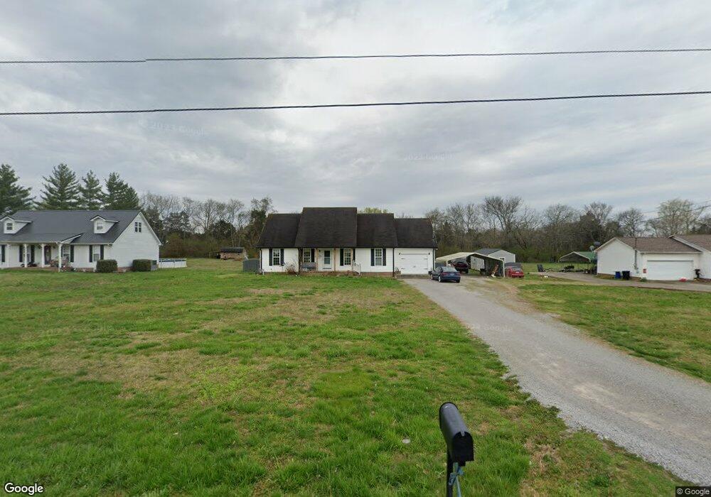
2111 Mae Ln Lewisburg, TN 37091
Estimated Value: $305,814 - $366,000
--
Bed
2
Baths
1,702
Sq Ft
$196/Sq Ft
Est. Value
About This Home
This home is located at 2111 Mae Ln, Lewisburg, TN 37091 and is currently estimated at $332,954, approximately $195 per square foot. 2111 Mae Ln is a home located in Marshall County with nearby schools including Oak Grove Elementary School, Marshall Elementary School, and Westhills Elementary School.
Ownership History
Date
Name
Owned For
Owner Type
Purchase Details
Closed on
Oct 1, 2013
Sold by
Price Lena B
Bought by
Nelson Anthony A and Nelson Naomi R
Current Estimated Value
Home Financials for this Owner
Home Financials are based on the most recent Mortgage that was taken out on this home.
Original Mortgage
$108,163
Outstanding Balance
$81,528
Interest Rate
4.58%
Mortgage Type
Commercial
Estimated Equity
$251,426
Purchase Details
Closed on
Aug 31, 2004
Bought by
Price William R and Price Lena B
Purchase Details
Closed on
Jul 30, 2004
Sold by
Arthur Burnett and Arthur Joanne
Bought by
Aedc Federal Credit Union
Purchase Details
Closed on
Nov 18, 1994
Bought by
Burnett Arthur Allen and Burnett Joanne
Create a Home Valuation Report for This Property
The Home Valuation Report is an in-depth analysis detailing your home's value as well as a comparison with similar homes in the area
Home Values in the Area
Average Home Value in this Area
Purchase History
| Date | Buyer | Sale Price | Title Company |
|---|---|---|---|
| Nelson Anthony A | $106,000 | -- | |
| Price William R | $84,000 | -- | |
| Aedc Federal Credit Union | -- | -- | |
| Burnett Arthur Allen | $80,000 | -- |
Source: Public Records
Mortgage History
| Date | Status | Borrower | Loan Amount |
|---|---|---|---|
| Open | Nelson Anthony A | $108,163 |
Source: Public Records
Tax History Compared to Growth
Tax History
| Year | Tax Paid | Tax Assessment Tax Assessment Total Assessment is a certain percentage of the fair market value that is determined by local assessors to be the total taxable value of land and additions on the property. | Land | Improvement |
|---|---|---|---|---|
| 2024 | $1,092 | $60,025 | $10,000 | $50,025 |
| 2023 | $1,092 | $60,025 | $10,000 | $50,025 |
| 2022 | $1,092 | $60,025 | $10,000 | $50,025 |
| 2021 | $912 | $32,450 | $4,000 | $28,450 |
| 2020 | $912 | $32,450 | $4,000 | $28,450 |
| 2019 | $912 | $32,450 | $4,000 | $28,450 |
| 2018 | $857 | $32,450 | $4,000 | $28,450 |
| 2017 | $857 | $31,025 | $4,000 | $27,025 |
| 2016 | $823 | $25,550 | $4,125 | $21,425 |
| 2015 | $823 | $25,550 | $4,125 | $21,425 |
| 2014 | $823 | $25,550 | $4,125 | $21,425 |
Source: Public Records
Map
Nearby Homes
- 3293 Nashville Hwy
- 3130 Nashville Hwy
- 3077 Nashville Hwy
- 2137 Horton Way
- 2220 Hunter Bills Rd
- 2555 Bob Cheek Rd
- 3560 Nashville Hwy
- 1820 Wade Brown Rd
- 3600 Nashville Hwy
- 0 Nashville Hwy Unit RTC3045409
- 0 Nashville Hwy Unit RTC2970248
- 0 Nashville Hwy Unit RTC2975994
- 0 Anes Station Rd
- 3388 Anes Station Rd
- 2309 Hunter Rd
- 1816 Wade Brown Rd
- 2150 Highway 40
- 2001 Highway 40
- 1510 Wade Brown Rd
- 1798 Twin Caves Dr