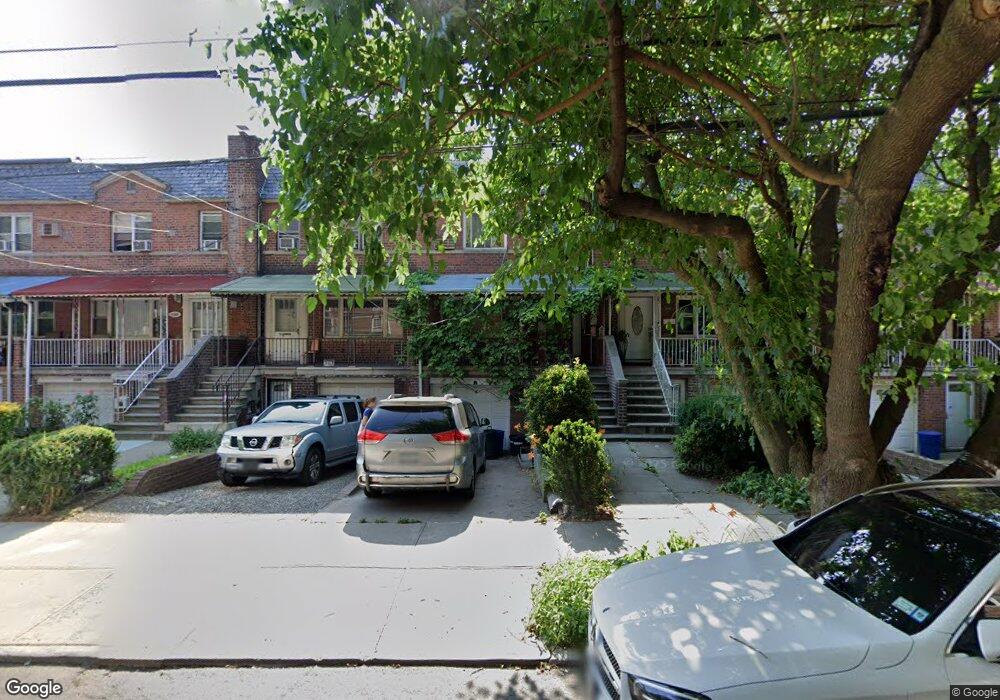
2111 Muliner Ave Bronx, NY 10462
Pelham Parkway NeighborhoodEstimated Value: $687,446 - $933,000
--
Bed
--
Bath
1,966
Sq Ft
$425/Sq Ft
Est. Value
About This Home
This home is located at 2111 Muliner Ave, Bronx, NY 10462 and is currently estimated at $835,362, approximately $424 per square foot. 2111 Muliner Ave is a home located in Bronx County with nearby schools including Bronx Green Middle School, Pelham Academy, and Bronx Charter School For Excellence 2.
Ownership History
Date
Name
Owned For
Owner Type
Purchase Details
Closed on
Oct 6, 2000
Sold by
Mulle Myra
Bought by
Veloz Neil
Current Estimated Value
Home Financials for this Owner
Home Financials are based on the most recent Mortgage that was taken out on this home.
Original Mortgage
$200,348
Outstanding Balance
$72,594
Interest Rate
7.83%
Mortgage Type
FHA
Estimated Equity
$762,768
Create a Home Valuation Report for This Property
The Home Valuation Report is an in-depth analysis detailing your home's value as well as a comparison with similar homes in the area
Home Values in the Area
Average Home Value in this Area
Purchase History
| Date | Buyer | Sale Price | Title Company |
|---|---|---|---|
| Veloz Neil | $202,000 | Fidelity National Title Ins |
Source: Public Records
Mortgage History
| Date | Status | Borrower | Loan Amount |
|---|---|---|---|
| Open | Veloz Neil | $200,348 |
Source: Public Records
Tax History Compared to Growth
Tax History
| Year | Tax Paid | Tax Assessment Tax Assessment Total Assessment is a certain percentage of the fair market value that is determined by local assessors to be the total taxable value of land and additions on the property. | Land | Improvement |
|---|---|---|---|---|
| 2025 | $6,730 | $37,000 | $7,989 | $29,011 |
| 2024 | $6,730 | $34,906 | $8,851 | $26,055 |
| 2023 | $6,542 | $33,610 | $8,002 | $25,608 |
| 2022 | $6,267 | $38,640 | $9,600 | $29,040 |
| 2021 | $6,485 | $35,460 | $9,600 | $25,860 |
| 2020 | $6,230 | $34,680 | $9,600 | $25,080 |
| 2019 | $5,792 | $33,900 | $9,600 | $24,300 |
| 2018 | $5,412 | $28,008 | $8,585 | $19,423 |
| 2017 | $5,278 | $27,360 | $9,026 | $18,334 |
| 2016 | $5,064 | $26,880 | $9,600 | $17,280 |
| 2015 | $2,893 | $25,694 | $10,418 | $15,276 |
| 2014 | $2,893 | $24,240 | $10,680 | $13,560 |
Source: Public Records
Map
Nearby Homes
- 2129 Muliner Ave
- 2080 Matthews Ave
- - Lydig Ave
- 2080 Barnes Ave Unit 5C
- 2080 Barnes Ave Unit 3H
- 2080 Barnes Ave Unit 4A
- 2080 Barnes Ave Unit 5B
- 2090 Barnes Ave Unit 6A
- 2090 Barnes Ave Unit 4D
- 2090 Barnes Ave Unit 2H
- 2165 Matthews Ave Unit 4B
- 2165 Matthews Ave Unit 2G
- 2165 Matthews Ave Unit 1G
- 2165 Mathews Ave Unit 5H
- 2037 Radcliff Ave
- 2116 Paulding Ave
- 2166 Paulding Ave
- 2105 Wallace Ave Unit 5A
- 2105 Wallace Ave Unit 4A
- 2105 Wallace Ave Unit 2D
- 2113 Muliner Ave
- 2109 Muliner Ave
- 2115 Muliner Ave
- 2107 Muliner Ave
- 2105 Muliner Ave
- 2117 Muliner Ave
- 2103 Muliner Ave
- 2101 Muliner Ave
- 2116 Matthews Ave
- 2114 Matthews Ave
- 2118 Matthews Ave
- 2112 Matthews Ave
- 2120 Matthews Ave
- 2099 Muliner Ave
- 2110 Matthews Ave
- 2097 Muliner Ave
- 2123 Muliner Ave
- 2098 Matthews Ave
- 2096 Matthews Ave
- 2095 Muliner Ave