K
Seller's Agent in 2025
Kacy Aultman
Southern Oaks Realty
(228) 460-0400
6 Total Sales

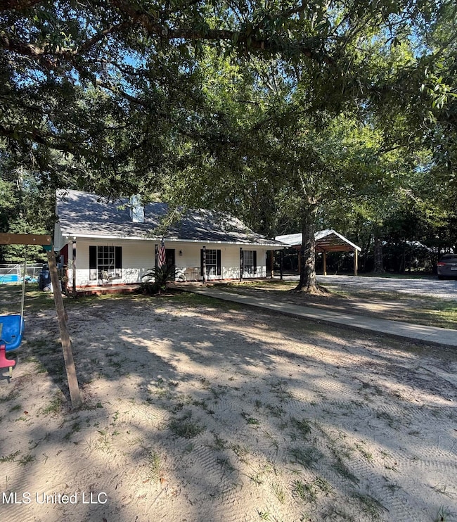
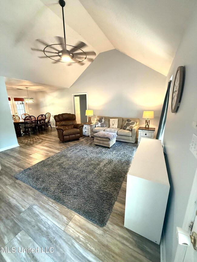
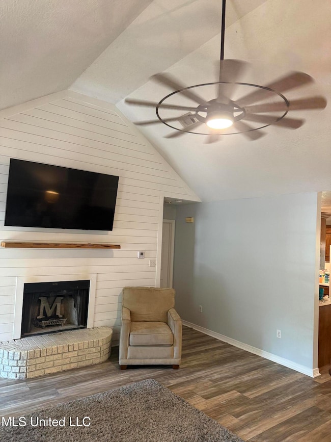
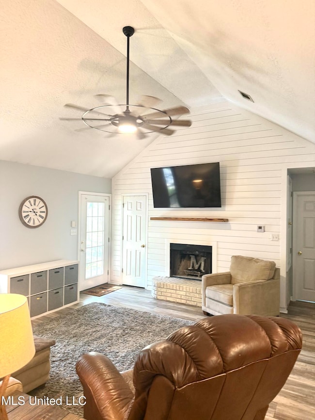
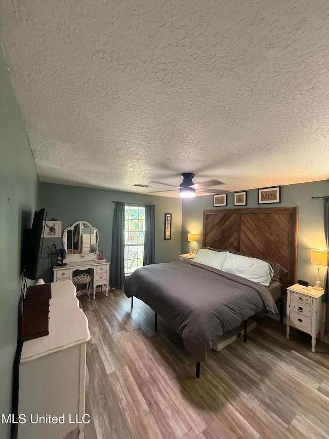
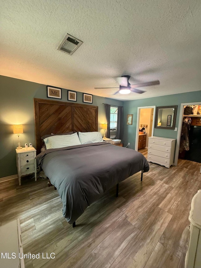
Charming 3-Bed, 2-Bath Home in East Central School District Welcome to this cozy and well-maintained 3-bedroom, 2-bath home nestled in the highly sought-after East Central School District. Perfectly situated for both comfort and convenience, this home offers a functional layout with a warm, inviting atmosphere ideal for families, first-time buyers, or anyone looking to downsize without compromise. Step inside to discover a spacious living area filled with natural light, a well-equipped kitchen, and a dining area that makes family meals or entertaining easy. The primary suite features its own private bath, while two additional bedrooms offer flexibility for guests, a home office, or a growing family. Outside, enjoy a peaceful backyard—perfect for morning coffee, weekend barbecues, or simply unwinding after a long day. Located just minutes from schools, shopping, dining, and easy access to main roads, this home combines small-town charm with everyday convenience. Don't miss your chance to own this gem in a community that feels like home.
Last Agent to Sell the Property
Southern Oaks Realty License #S57656 Listed on: 08/03/2025
| Date | Type | Sale Price | Title Company |
|---|---|---|---|
| Warranty Deed | -- | Pilger Title | |
| Warranty Deed | -- | Pilger Title | |
| Warranty Deed | -- | -- |
| Date | Status | Loan Amount | Loan Type |
|---|---|---|---|
| Previous Owner | $109,693 | No Value Available |
| Date | Event | Price | List to Sale | Price per Sq Ft |
|---|---|---|---|---|
| 08/28/2025 08/28/25 | Sold | -- | -- | -- |
| 08/08/2025 08/08/25 | Pending | -- | -- | -- |
| 08/03/2025 08/03/25 | For Sale | $199,000 | -- | $152 / Sq Ft |
| Year | Tax Paid | Tax Assessment Tax Assessment Total Assessment is a certain percentage of the fair market value that is determined by local assessors to be the total taxable value of land and additions on the property. | Land | Improvement |
|---|---|---|---|---|
| 2025 | $810 | $9,345 | $799 | $8,546 |
| 2024 | $810 | $8,178 | $777 | $7,401 |
| 2023 | $682 | $8,178 | $777 | $7,401 |
| 2022 | $654 | $8,178 | $777 | $7,401 |
| 2021 | $661 | $8,245 | $777 | $7,468 |
| 2020 | $655 | $7,904 | $720 | $7,184 |
| 2019 | $644 | $7,904 | $720 | $7,184 |
| 2018 | $664 | $7,914 | $720 | $7,194 |
| 2017 | $680 | $7,914 | $720 | $7,194 |
| 2016 | $641 | $7,914 | $720 | $7,194 |
| 2015 | $585 | $73,490 | $7,200 | $66,290 |
| 2014 | $578 | $7,477 | $720 | $6,757 |
| 2013 | $1,274 | $11,216 | $1,080 | $10,136 |
K
Seller's Agent in 2025
Kacy Aultman
Southern Oaks Realty
(228) 460-0400
6 Total Sales

Buyer's Agent in 2025
LaDonna Daugherty
Coldwell Banker Smith Home Rltrs-Gautier
(228) 285-7335
36 Total Sales
Source: MLS United
MLS Number: 4121354
APN: 0-15-34-220.075
Disclaimer: Certain information contained herein is derived from information provided by parties other than Homes.com. All information provided is deemed reliable, but is not guaranteed to be accurate and should be independently verified.
![]() Information is deemed to be reliable but not guaranteed. Copyright 2026 MLS United, LLC.
Information is deemed to be reliable but not guaranteed. Copyright 2026 MLS United, LLC.
Ask me questions while you tour the home.