Estimated Value: $1,089,285 - $1,295,000
4
Beds
3
Baths
2,594
Sq Ft
$461/Sq Ft
Est. Value
About This Home
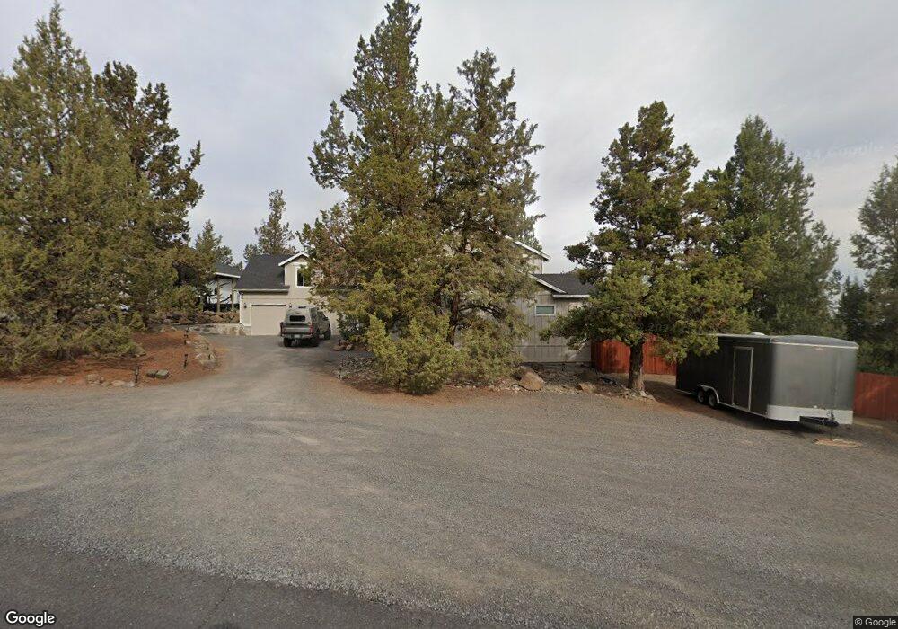
This home is located at 21110 Imperial Ave, Bend, OR 97701 and is currently estimated at $1,197,095, approximately $461 per square foot. 21110 Imperial Ave is a home located in Deschutes County with nearby schools including Tumalo Community School, Obsidian Middle School, and Ridgeview High School.
Ownership History
Date
Name
Owned For
Owner Type
Purchase Details
Closed on
Jan 11, 2023
Sold by
Lebeda Willie E
Bought by
Will E Lebeda Trust
Current Estimated Value
Purchase Details
Closed on
Mar 22, 2017
Sold by
Lebeda Willie E and Lebeda Diane M
Bought by
Lebeda Willie E
Home Financials for this Owner
Home Financials are based on the most recent Mortgage that was taken out on this home.
Original Mortgage
$362,700
Interest Rate
4.17%
Mortgage Type
New Conventional
Purchase Details
Closed on
Apr 2, 2004
Sold by
Holley Robert L
Bought by
Lebeda Willie E and Lebeda Diane M
Home Financials for this Owner
Home Financials are based on the most recent Mortgage that was taken out on this home.
Original Mortgage
$288,000
Interest Rate
5.57%
Mortgage Type
Credit Line Revolving
Create a Home Valuation Report for This Property
The Home Valuation Report is an in-depth analysis detailing your home's value as well as a comparison with similar homes in the area
Purchase History
| Date | Buyer | Sale Price | Title Company |
|---|---|---|---|
| Will E Lebeda Trust | -- | -- | |
| Lebeda Willie E | -- | Amerititle | |
| Lebeda Willie E | -- | Amerititle |
Source: Public Records
Mortgage History
| Date | Status | Borrower | Loan Amount |
|---|---|---|---|
| Previous Owner | Lebeda Willie E | $362,700 | |
| Previous Owner | Lebeda Willie E | $288,000 |
Source: Public Records
Tax History
| Year | Tax Paid | Tax Assessment Tax Assessment Total Assessment is a certain percentage of the fair market value that is determined by local assessors to be the total taxable value of land and additions on the property. | Land | Improvement |
|---|---|---|---|---|
| 2025 | $5,147 | $328,100 | -- | -- |
| 2024 | $4,922 | $318,550 | -- | -- |
| 2023 | $4,652 | $309,280 | $0 | $0 |
| 2022 | $4,280 | $291,540 | $0 | $0 |
| 2021 | $4,279 | $283,050 | $0 | $0 |
| 2020 | $4,068 | $283,050 | $0 | $0 |
| 2019 | $3,949 | $274,810 | $0 | $0 |
| 2018 | $3,854 | $266,810 | $0 | $0 |
| 2017 | $3,769 | $259,040 | $0 | $0 |
| 2016 | $3,727 | $251,500 | $0 | $0 |
| 2015 | $3,611 | $244,180 | $0 | $0 |
| 2014 | $3,517 | $237,070 | $0 | $0 |
Source: Public Records
Map
Nearby Homes
- 65432 78th St
- 65415 78th St
- 21140 Arid Ave
- 21070 Robin Ave
- 65280 94th St
- 65665 SW 61st St
- 21115 Young Ave
- 64904 Rimrock Dr
- 20645 Tumalo Rd
- 20440 Swalley Rd
- 20420 Swalley Rd
- 65055 Old Bend Redmond Hwy
- 64900 Hunnell Rd
- 0 Tumalo Rd
- 20334 Arrowhead Dr
- 21450 Dale Rd
- 20786 Mira Cir
- 3375 SW 77th St
- 65821 Cori Way
- 65255 Swalley Rd
Your Personal Tour Guide
Ask me questions while you tour the home.