21110 W 71st St Shawnee, KS 66218
Estimated Value: $807,000 - $1,472,278
5
Beds
6
Baths
4,003
Sq Ft
$296/Sq Ft
Est. Value
About This Home
This home is located at 21110 W 71st St, Shawnee, KS 66218 and is currently estimated at $1,184,093, approximately $295 per square foot. 21110 W 71st St is a home located in Johnson County with nearby schools including Horizon Elementary School, Mill Creek Middle School, and Mill Valley High School.
Ownership History
Date
Name
Owned For
Owner Type
Purchase Details
Closed on
Dec 14, 2020
Sold by
Southwestern Bell Telephone Company
Bought by
Quik Trip
Current Estimated Value
Purchase Details
Closed on
Sep 16, 2020
Sold by
Rouse Christine B
Bought by
Rouse Phillip C
Purchase Details
Closed on
Mar 15, 2010
Sold by
Foster Michael D and Wabeh Foster Elena
Bought by
Rouse Phillip C and Rouse Christine B
Create a Home Valuation Report for This Property
The Home Valuation Report is an in-depth analysis detailing your home's value as well as a comparison with similar homes in the area
Home Values in the Area
Average Home Value in this Area
Purchase History
| Date | Buyer | Sale Price | Title Company |
|---|---|---|---|
| Quik Trip | -- | Security 1St Title Llc | |
| Rouse Phillip C | -- | None Available | |
| Rouse Phillip C | -- | Stewart Title Of Kansas City |
Source: Public Records
Tax History Compared to Growth
Tax History
| Year | Tax Paid | Tax Assessment Tax Assessment Total Assessment is a certain percentage of the fair market value that is determined by local assessors to be the total taxable value of land and additions on the property. | Land | Improvement |
|---|---|---|---|---|
| 2024 | $21,631 | $183,598 | $28,305 | $155,293 |
| 2023 | $20,322 | $171,695 | $24,097 | $147,598 |
| 2022 | $19,028 | $158,102 | $20,094 | $138,008 |
| 2021 | $19,314 | $155,319 | $19,739 | $135,580 |
| 2020 | $18,585 | $148,120 | $19,739 | $128,381 |
| 2019 | $19,355 | $152,019 | $18,222 | $133,797 |
| 2018 | $16,937 | $131,836 | $18,222 | $113,614 |
| 2017 | $17,359 | $131,836 | $18,222 | $113,614 |
| 2016 | $16,648 | $124,890 | $18,222 | $106,668 |
| 2015 | $16,524 | $121,049 | $18,222 | $102,827 |
| 2013 | -- | $117,795 | $18,222 | $99,573 |
Source: Public Records
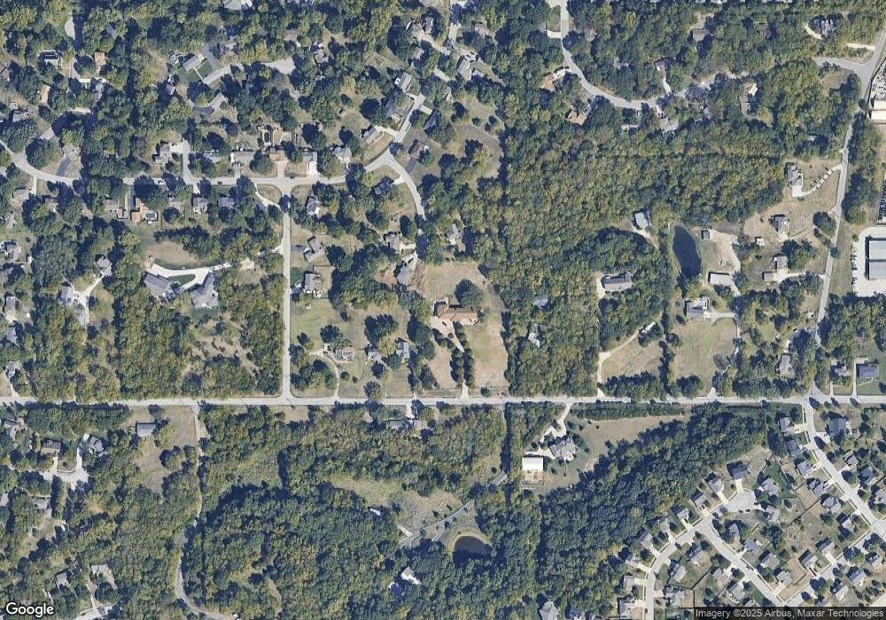
Map
Nearby Homes
- 6905 Longview Rd
- 20913 W 72nd St
- 6820 Marion St
- The Denali Plan at Parkside Reserve
- Crestwood Plan at Parkside Reserve - Premier Collection
- Avalon Plan at Parkside Reserve - Premier Collection
- Birmingham III Plan at Parkside Reserve
- The Biscayne Plan at Parkside Reserve
- Adeline Plan at Parkside Reserve
- Lexington Plan at Parkside Reserve - Premier Collection
- The Squoia Parkside Plan at Parkside Reserve
- The Acadia Plan at Parkside Reserve
- 15517 W 168th Terrace
- The Sandstone Plan at Parkside Reserve
- Asheville 2 Story Plan at Parkside Reserve
- Brookside Plan at Parkside Reserve - Premier Collection
- The Olympia Plan at Parkside Reserve
- The Hudson Plan at Parkside Reserve
- Marietta Plan at Parkside Reserve
- The Sierra Parkside Plan at Parkside Reserve
- 21100 W 71st St
- 21126 W 71st St
- 21022 W 71st St
- 21134 W 71st St
- 7013 Marion St
- 21125 W 71st St
- 21220 W 71st St
- 7003 Marion Dr
- 7017 Crest Dr
- 21021 W 71st St
- 21219 W 70th St
- 7015 Crest Dr
- 20918 W 71st St
- 6925 Marion Dr
- 7011 Crest Dr
- 6919 Marion Dr
- 6913 Marion Dr
- 21222 W 70th St
- 6924 Marion Dr
- 7018 Crest Dr