21112 Surfwood Ln Huntington Beach, CA 92646
Southeast NeighborhoodEstimated Value: $747,006 - $909,000
2
Beds
1
Bath
924
Sq Ft
$910/Sq Ft
Est. Value
About This Home
This home is located at 21112 Surfwood Ln, Huntington Beach, CA 92646 and is currently estimated at $841,002, approximately $910 per square foot. 21112 Surfwood Ln is a home located in Orange County with nearby schools including S.A. Moffett Elementary School, Isaac L. Sowers Middle School, and Edison High School.
Ownership History
Date
Name
Owned For
Owner Type
Purchase Details
Closed on
Aug 1, 1996
Sold by
Federal National Mortgage Association
Bought by
Lopez Richard
Current Estimated Value
Home Financials for this Owner
Home Financials are based on the most recent Mortgage that was taken out on this home.
Original Mortgage
$137,600
Interest Rate
8.2%
Purchase Details
Closed on
Jun 17, 1996
Sold by
Principal Mutual Life Insurance Company
Bought by
Federal National Mortgage Association
Home Financials for this Owner
Home Financials are based on the most recent Mortgage that was taken out on this home.
Original Mortgage
$137,600
Interest Rate
8.2%
Purchase Details
Closed on
May 31, 1996
Sold by
Pierotti Joseph M and Pierotti Elizabeth A
Bought by
Principal Mutual Life Insurance Company
Create a Home Valuation Report for This Property
The Home Valuation Report is an in-depth analysis detailing your home's value as well as a comparison with similar homes in the area
Home Values in the Area
Average Home Value in this Area
Purchase History
| Date | Buyer | Sale Price | Title Company |
|---|---|---|---|
| Lopez Richard | $142,000 | Fidelity National Title Ins | |
| Federal National Mortgage Association | -- | Stewart Title | |
| Principal Mutual Life Insurance Company | $133,000 | -- |
Source: Public Records
Mortgage History
| Date | Status | Borrower | Loan Amount |
|---|---|---|---|
| Previous Owner | Lopez Richard | $137,600 |
Source: Public Records
Tax History Compared to Growth
Tax History
| Year | Tax Paid | Tax Assessment Tax Assessment Total Assessment is a certain percentage of the fair market value that is determined by local assessors to be the total taxable value of land and additions on the property. | Land | Improvement |
|---|---|---|---|---|
| 2025 | $2,813 | $231,096 | $155,576 | $75,520 |
| 2024 | $2,813 | $226,565 | $152,525 | $74,040 |
| 2023 | $2,745 | $222,123 | $149,534 | $72,589 |
| 2022 | $2,671 | $217,768 | $146,602 | $71,166 |
| 2021 | $2,622 | $213,499 | $143,728 | $69,771 |
| 2020 | $2,603 | $211,310 | $142,254 | $69,056 |
| 2019 | $2,573 | $207,167 | $139,465 | $67,702 |
| 2018 | $2,533 | $203,105 | $136,730 | $66,375 |
| 2017 | $2,498 | $199,123 | $134,049 | $65,074 |
| 2016 | $2,394 | $195,219 | $131,420 | $63,799 |
| 2015 | $2,368 | $192,287 | $129,446 | $62,841 |
| 2014 | $2,317 | $188,521 | $126,910 | $61,611 |
Source: Public Records
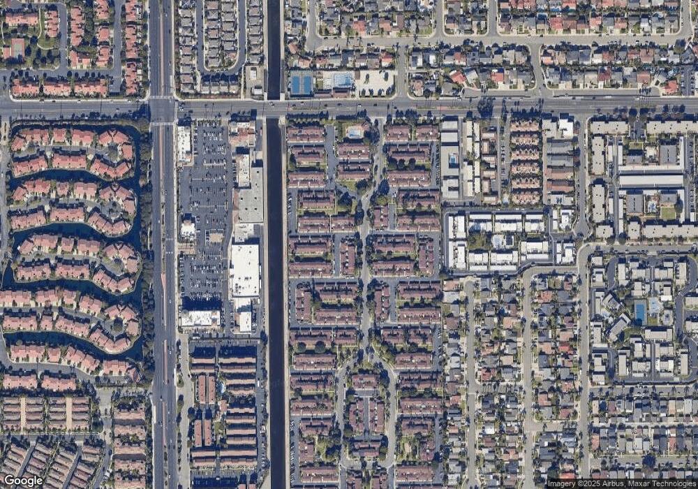
Map
Nearby Homes
- 7993 Aldea Cir
- 8331 Snowbird Dr
- 7988 Aldea Cir
- 8401 Atlanta Ave
- 21254 Lorca Cir Unit 51
- 21032 Shepherd Ln
- 21131 Greenboro Ln
- 7826 Sailboat Cir Unit 20
- 21331 Balerma Ln
- 8633 Portola Ct Unit 18G
- 8438 Hibiscus Cir
- 7756 Seabreeze Dr Unit 44
- 20701 Beach Blvd Unit 128
- 20701 Beach Blvd Unit 65
- 20701 Beach Blvd Unit 142
- 20701 Beach Blvd Unit 285
- 20701 Beach Blvd Unit 30
- 20701 Beach Blvd Unit 107
- 20701 Beach Blvd Unit 251
- 20701 Beach Blvd Unit 200
- 21116 Surfwood Ln
- 21122 Surfwood Ln
- 21126 Surfwood Ln
- 8146 Woolburn Dr
- 8155 Woolburn Dr
- 8161 Woolburn Dr
- 8151 Woolburn Dr
- 21132 Surfwood Ln
- 8145 Woolburn Dr
- 8142 Woolburn Dr
- 8182 Woolburn Dr
- 21136 Surfwood Ln
- 8141 Woolburn Dr
- 8136 Woolburn Dr
- 8145 Eastport Dr
- 8186 Woolburn Dr
- 8141 Eastport Dr
- 8132 Woolburn Dr
- 8131 Woolburn Dr
- 8181 Eastport Dr