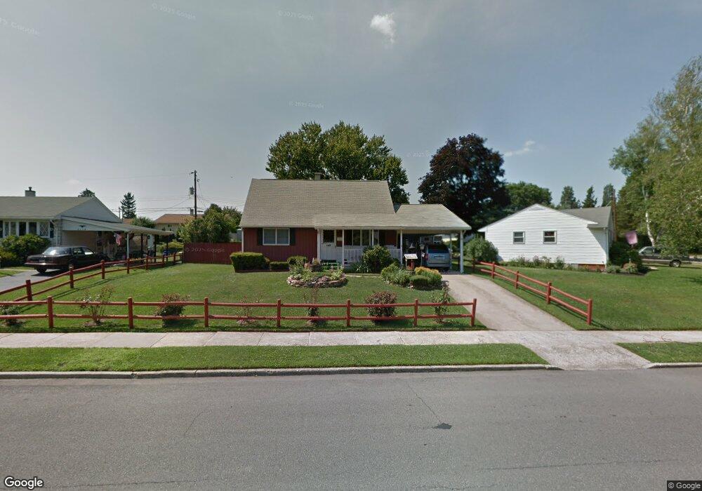
2112 Aster Rd Bethlehem, PA 18018
West Bethlehem NeighborhoodEstimated Value: $295,000 - $309,711
3
Beds
2
Baths
1,020
Sq Ft
$297/Sq Ft
Est. Value
About This Home
This home is located at 2112 Aster Rd, Bethlehem, PA 18018 and is currently estimated at $302,928, approximately $296 per square foot. 2112 Aster Rd is a home located in Lehigh County with nearby schools including Clearview Elementary School, Nitschmann Middle School, and Liberty High School.
Ownership History
Date
Name
Owned For
Owner Type
Purchase Details
Closed on
May 10, 2024
Sold by
Elizabeth B Sterner Irrevocable Trust and Sterner Elizabeth B
Bought by
Sterner Elizabeth B
Current Estimated Value
Purchase Details
Closed on
Nov 8, 2021
Sold by
Sterner Elizabeth B
Bought by
Sterner Elizabeth B and Sterner Elizabeth B
Purchase Details
Closed on
Apr 21, 1988
Sold by
Administrator Of Veterans Affairs
Bought by
Sterner William F and Sterner Elizabeth B
Create a Home Valuation Report for This Property
The Home Valuation Report is an in-depth analysis detailing your home's value as well as a comparison with similar homes in the area
Home Values in the Area
Average Home Value in this Area
Purchase History
We collect this data history from publicly available records. To have your information removed, we recommend requesting removal directly through your county’s website.
| Date | Buyer | Sale Price | Title Company |
|---|---|---|---|
| Sterner Elizabeth B | -- | None Listed On Document | |
| Sterner Elizabeth B | -- | None Available | |
| Sterner William F | $12,000 | -- |
Source: Public Records
Tax History
| Year | Tax Paid | Tax Assessment Tax Assessment Total Assessment is a certain percentage of the fair market value that is determined by local assessors to be the total taxable value of land and additions on the property. | Land | Improvement |
|---|---|---|---|---|
| 2026 | $3,812 | $129,600 | $29,200 | $100,400 |
| 2025 | $3,723 | $129,600 | $29,200 | $100,400 |
| 2024 | $3,681 | $129,600 | $29,200 | $100,400 |
| 2023 | $3,648 | $129,600 | $29,200 | $100,400 |
| 2022 | $3,708 | $129,600 | $100,400 | $29,200 |
| 2021 | $3,691 | $129,600 | $29,200 | $100,400 |
| 2020 | $3,573 | $129,600 | $29,200 | $100,400 |
| 2019 | $3,599 | $129,600 | $29,200 | $100,400 |
| 2018 | $3,529 | $129,600 | $29,200 | $100,400 |
| 2017 | $3,372 | $129,600 | $29,200 | $100,400 |
| 2016 | -- | $129,600 | $29,200 | $100,400 |
| 2015 | -- | $129,600 | $29,200 | $100,400 |
| 2014 | -- | $129,600 | $29,200 | $100,400 |
Source: Public Records
Map
Nearby Homes
- 2035 Drury Ln
- 1923 Catasauqua Rd
- 2273 Vista Dr
- 1556 Bayberry Ln
- 1920 Ravenwood Dr
- 1961 Ravenwood Dr
- 1936 Kingsley Dr
- 3350 5 Airport Rd
- 1368 Club Ave
- 1455 Wynnewood Dr
- 3350 Airport Rd
- 3350 Airport Rd Unit 5
- 2114 Fireside Dr
- 1332 N Ulster St
- 1548 Dale Ln
- 1930 E Columbia St
- 1534 Eastwood Dr
- 1535 Ciara Dr
- 1800 Eastman Ave
- 2640 Belaire Rd
Your Personal Tour Guide
Ask me questions while you tour the home.