Estimated Value: $303,000 - $343,000
Studio
--
Bath
1,232
Sq Ft
$268/Sq Ft
Est. Value
About This Home
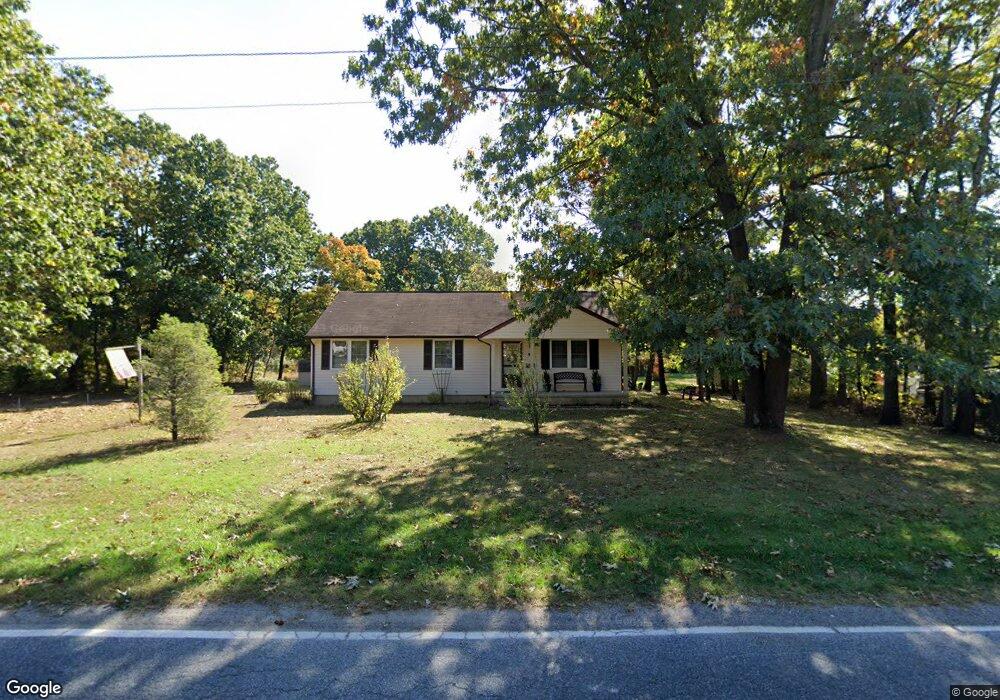
This home is located at 2112 Bartram Ave, Atco, NJ 08004 and is currently estimated at $330,014, approximately $267 per square foot. 2112 Bartram Ave is a home located in Camden County with nearby schools including Thomas Richards Elementary School, Waterford Elementary School, and Atco Elementary School.
Ownership History
Date
Name
Owned For
Owner Type
Purchase Details
Closed on
Jan 25, 2023
Sold by
Boyle Dennis L
Bought by
Scott Ruth R
Current Estimated Value
Purchase Details
Closed on
Feb 16, 2001
Sold by
Deblase Angela
Bought by
Boyle Dennis L
Home Financials for this Owner
Home Financials are based on the most recent Mortgage that was taken out on this home.
Original Mortgage
$85,600
Interest Rate
7%
Create a Home Valuation Report for This Property
The Home Valuation Report is an in-depth analysis detailing your home's value as well as a comparison with similar homes in the area
Home Values in the Area
Average Home Value in this Area
Purchase History
| Date | Buyer | Sale Price | Title Company |
|---|---|---|---|
| Scott Ruth R | -- | -- | |
| Boyle Dennis L | $107,000 | -- |
Source: Public Records
Mortgage History
| Date | Status | Borrower | Loan Amount |
|---|---|---|---|
| Previous Owner | Boyle Dennis L | $85,600 |
Source: Public Records
Tax History
| Year | Tax Paid | Tax Assessment Tax Assessment Total Assessment is a certain percentage of the fair market value that is determined by local assessors to be the total taxable value of land and additions on the property. | Land | Improvement |
|---|---|---|---|---|
| 2025 | $6,576 | $144,200 | $42,300 | $101,900 |
| 2024 | $6,196 | $144,200 | $42,300 | $101,900 |
| 2023 | $6,196 | $144,200 | $42,300 | $101,900 |
| 2022 | $5,921 | $144,200 | $42,300 | $101,900 |
| 2021 | $5,396 | $144,200 | $42,300 | $101,900 |
| 2020 | $5,863 | $144,200 | $42,300 | $101,900 |
| 2019 | $5,774 | $144,200 | $42,300 | $101,900 |
| 2018 | $5,768 | $144,200 | $42,300 | $101,900 |
| 2017 | $5,679 | $144,200 | $42,300 | $101,900 |
| 2016 | $5,596 | $144,200 | $42,300 | $101,900 |
| 2015 | $5,449 | $144,200 | $42,300 | $101,900 |
| 2014 | $5,495 | $99,500 | $29,100 | $70,400 |
Source: Public Records
Map
Nearby Homes
- 202 Bartal Ct
- 2172 Atco Ave
- 2216 Harrison Ave
- 402 Holly Dr
- 470 Waterfords Edge Ct
- 442 Waterfords Edge Ct
- 2107 Cooper Rd
- 9 Bromley Ct
- 18 Wakefield Rd
- 22 Josie Ln
- 344 Raritan Ave
- 33 Windingbrook Dr
- 61 Virginia Dr
- 295 White Horse Pike
- 158 Baker Ave
- 2307 Cooper Rd
- 147 Baker Ave
- 10 Dartmouth Dr
- 2006 A Ave
- 2311 Gennessee Ave
- 382 Carl Hasselhan Dr
- 2122 Bartram Ave
- 462 White Horse Pike
- 440 White Horse Pike Unit A
- 440 White Horse Pike Unit 2
- 440 White Horse Pike Unit 2
- 2121 Bartram Ave
- 374 Carl Hasselhan Dr
- 468 White Horse Pike
- 2126 Bartram Ave
- 436 White Horse Pike
- 370 Carl Hasselhan Dr
- 2127 Bartram Ave
- 2130 Bartram Ave
- 2134 Bartram Ave
- 428 White Horse Pike Unit A
- 428 White Horse Pike
- 427 Front St
- 415 Front St
- 2115 Kohler Ave
Your Personal Tour Guide
Ask me questions while you tour the home.