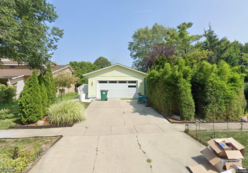
2112 Georgetown Cir Champaign, IL 61821
Bolten Field NeighborhoodEstimated Value: $299,865 - $359,000
--
Bed
2
Baths
1,643
Sq Ft
$199/Sq Ft
Est. Value
About This Home
This home is located at 2112 Georgetown Cir, Champaign, IL 61821 and is currently estimated at $326,466, approximately $198 per square foot. 2112 Georgetown Cir is a home located in Champaign County with nearby schools including Central High School, Next Generation School, and Devonshire KinderCare.
Ownership History
Date
Name
Owned For
Owner Type
Purchase Details
Closed on
Apr 17, 2025
Sold by
Hanson Christine A Rich
Bought by
Christine A Rich Hanson Declaration Of Trust and Hanson
Current Estimated Value
Purchase Details
Closed on
Apr 8, 2003
Sold by
Hanson Kevin D
Bought by
Hanson Christine A Rich
Create a Home Valuation Report for This Property
The Home Valuation Report is an in-depth analysis detailing your home's value as well as a comparison with similar homes in the area
Home Values in the Area
Average Home Value in this Area
Purchase History
| Date | Buyer | Sale Price | Title Company |
|---|---|---|---|
| Christine A Rich Hanson Declaration Of Trust | -- | None Listed On Document | |
| Hanson Christine A Rich | -- | -- |
Source: Public Records
Tax History Compared to Growth
Tax History
| Year | Tax Paid | Tax Assessment Tax Assessment Total Assessment is a certain percentage of the fair market value that is determined by local assessors to be the total taxable value of land and additions on the property. | Land | Improvement |
|---|---|---|---|---|
| 2024 | $6,461 | $90,750 | $16,240 | $74,510 |
| 2023 | $6,461 | $82,650 | $14,790 | $67,860 |
| 2022 | $6,459 | $76,240 | $13,640 | $62,600 |
| 2021 | $6,293 | $74,740 | $13,370 | $61,370 |
| 2020 | $6,039 | $71,870 | $12,860 | $59,010 |
| 2019 | $5,835 | $70,400 | $12,600 | $57,800 |
| 2018 | $5,695 | $69,290 | $12,400 | $56,890 |
| 2017 | $5,478 | $66,620 | $11,920 | $54,700 |
| 2016 | $4,900 | $65,240 | $11,670 | $53,570 |
| 2015 | $4,928 | $64,080 | $11,460 | $52,620 |
| 2014 | $4,886 | $64,080 | $11,460 | $52,620 |
| 2013 | $4,842 | $64,080 | $11,460 | $52,620 |
Source: Public Records
Map
Nearby Homes
- 2144 Harbortown Cir Unit 2144
- 2113 Sunview Dr
- 1901 Lakeside Dr Unit B
- 2002 O Donnell Dr
- 1901 Branch Rd
- 1928 Blackthorn Dr Unit 1
- 2001 S Mattis Ave Unit E
- 2404 Windward Blvd Unit 202
- 1908 Barberry Cir
- 1318 Broadmoor Dr
- 2409 Morrissey Park Dr Unit 2409
- 2410 Stillwater Dr
- 2521 Windward Blvd Unit 2521
- 1205 Broadmoor Dr
- 2306 Winchester Dr
- 2521 Pembrook Point
- 7 McDonald Ct
- 2302 Blackthorn Dr
- 1725 Lincoln Place
- 1202 Foothill Dr
- 2110 Georgetown Cir
- 2114 Georgetown Cir
- 2108 Georgetown Cir
- 1516 Country Lake Dr
- 2116 Georgetown Cir
- 2111 Georgetown Cir
- 2109 Georgetown Cir
- 2113 Georgetown Cir
- 2106 Georgetown Cir
- 2106 Georgetown Cir Unit 1
- 1514 Country Lake Dr
- 1518 Country Lake Dr
- 2115 Georgetown Cir
- 2118 Georgetown Cir
- 2105 Georgetown Cir
- 2103 Georgetown Cir
- 1512 Country Lake Dr
- 1604 Harbor Point Dr
- 2120 Georgetown Cir
- 1517 Country Lake Dr