2112 Highway F36 W Newton, IA 50208
Estimated Value: $407,000 - $538,785
1
Bed
2
Baths
2,923
Sq Ft
$167/Sq Ft
Est. Value
About This Home
This home is located at 2112 Highway F36 W, Newton, IA 50208 and is currently estimated at $486,946, approximately $166 per square foot. 2112 Highway F36 W is a home located in Jasper County with nearby schools including Thomas Jefferson Elementary School, Woodrow Wilson Elementary School, and Berg Middle School.
Ownership History
Date
Name
Owned For
Owner Type
Purchase Details
Closed on
Jun 13, 2007
Sold by
Stenson Connie Faye
Bought by
Schnoebelen Vern Lee and Stenson Vern Lee
Current Estimated Value
Create a Home Valuation Report for This Property
The Home Valuation Report is an in-depth analysis detailing your home's value as well as a comparison with similar homes in the area
Home Values in the Area
Average Home Value in this Area
Purchase History
| Date | Buyer | Sale Price | Title Company |
|---|---|---|---|
| Schnoebelen Vern Lee | -- | None Available |
Source: Public Records
Tax History Compared to Growth
Tax History
| Year | Tax Paid | Tax Assessment Tax Assessment Total Assessment is a certain percentage of the fair market value that is determined by local assessors to be the total taxable value of land and additions on the property. | Land | Improvement |
|---|---|---|---|---|
| 2025 | $5,118 | $525,320 | $96,500 | $428,820 |
| 2024 | $5,118 | $417,220 | $71,400 | $345,820 |
| 2023 | $5,042 | $417,220 | $71,400 | $345,820 |
| 2022 | $4,692 | $357,280 | $71,400 | $285,880 |
| 2021 | $4,606 | $325,970 | $71,400 | $254,570 |
| 2020 | $4,606 | $304,050 | $69,480 | $234,570 |
| 2019 | $4,444 | $274,860 | $0 | $0 |
| 2018 | $4,444 | $274,860 | $0 | $0 |
| 2017 | $4,494 | $277,450 | $0 | $0 |
| 2016 | $4,494 | $277,450 | $0 | $0 |
| 2015 | $4,382 | $275,080 | $0 | $0 |
| 2014 | $4,258 | $275,080 | $0 | $0 |
Source: Public Records
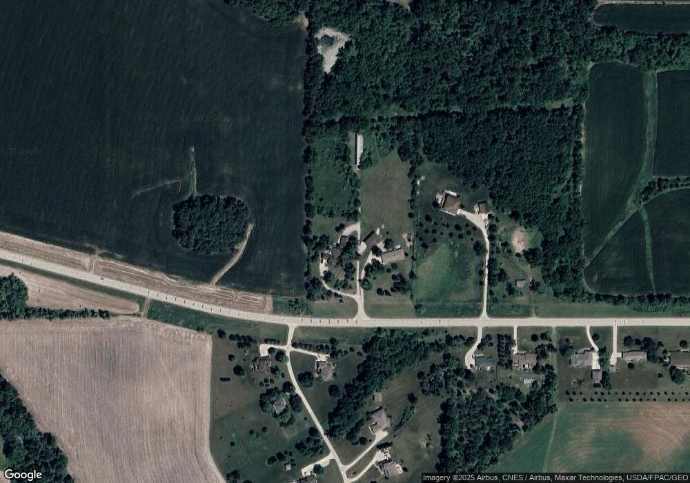
Map
Nearby Homes
- 1650 W 28th St N
- 1005 W 8th St N
- 549 W 10th St N
- 1525 1st St N
- 3735 W 3rd St N
- 1401 1st St N
- 124 Emerson Hough Dr
- 1420 1st St N
- 316 N 9th Ave W
- 299 Hickory St
- 304 W 11th St N
- 6911-10 Highway F 48 W
- 831 1st St N
- 1100 1st Ave W
- 1000 1st Ave W
- 1221 Monroe Dr
- 210 W 13th St S
- 8 Chancery Ct
- 237 W 12th St S
- 2214 Highway F48 W
- 2201 W 21st St N
- 1968 Highway F36 W
- 2250 W 21st St N
- 2200 W 21st St N
- 1878 Highway F36 W
- 1823 N 23rd Ave W
- 2101 W 21st St N
- 1805 N 23rd Ave W Unit B
- 1805 N 23rd Ave W
- 1805 N 23rd Ave W
- 3959 Highway F36 W
- F48 Highway F36 W
- 2001 W 21st St N
- 2100 W 21st St N
- 1721 N 23rd Ave W
- 2000 W 21st St N
- 1705 N 23rd Ave W
- 1901 W 21st St N
- 1607 N 23rd Ave W
- 1801 W 21st St N