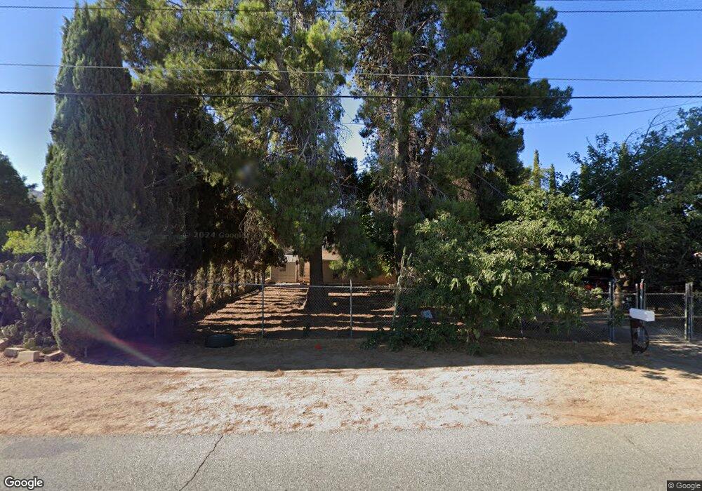
2112 W Westward Ave Banning, CA 92220
Estimated Value: $337,000 - $436,000
2
Beds
2
Baths
1,192
Sq Ft
$337/Sq Ft
Est. Value
About This Home
This home is located at 2112 W Westward Ave, Banning, CA 92220 and is currently estimated at $402,046, approximately $337 per square foot. 2112 W Westward Ave is a home located in Riverside County with nearby schools including Banning High School and Calvary Christian School.
Ownership History
Date
Name
Owned For
Owner Type
Purchase Details
Closed on
Dec 2, 2002
Sold by
Duebbert Klaus P
Bought by
Duebert Jeanne H
Current Estimated Value
Home Financials for this Owner
Home Financials are based on the most recent Mortgage that was taken out on this home.
Original Mortgage
$142,500
Outstanding Balance
$59,731
Interest Rate
6.03%
Estimated Equity
$342,315
Purchase Details
Closed on
Nov 19, 2002
Sold by
Tidwell Mary Christine
Bought by
Duebbert Jeanne H
Home Financials for this Owner
Home Financials are based on the most recent Mortgage that was taken out on this home.
Original Mortgage
$142,500
Outstanding Balance
$59,731
Interest Rate
6.03%
Estimated Equity
$342,315
Create a Home Valuation Report for This Property
The Home Valuation Report is an in-depth analysis detailing your home's value as well as a comparison with similar homes in the area
Home Values in the Area
Average Home Value in this Area
Purchase History
| Date | Buyer | Sale Price | Title Company |
|---|---|---|---|
| Duebert Jeanne H | -- | American Title | |
| Duebbert Jeanne H | $150,000 | American Title | |
| Tidwell Mary Christine | -- | American Title |
Source: Public Records
Mortgage History
| Date | Status | Borrower | Loan Amount |
|---|---|---|---|
| Open | Duebbert Jeanne H | $142,500 |
Source: Public Records
Tax History Compared to Growth
Tax History
| Year | Tax Paid | Tax Assessment Tax Assessment Total Assessment is a certain percentage of the fair market value that is determined by local assessors to be the total taxable value of land and additions on the property. | Land | Improvement |
|---|---|---|---|---|
| 2025 | $2,872 | $215,772 | $65,159 | $150,613 |
| 2023 | $2,872 | $207,395 | $62,630 | $144,765 |
| 2022 | $2,807 | $203,329 | $61,402 | $141,927 |
| 2021 | $2,751 | $199,344 | $60,199 | $139,145 |
| 2020 | $2,726 | $197,301 | $59,582 | $137,719 |
| 2019 | $2,682 | $193,433 | $58,414 | $135,019 |
| 2018 | $2,662 | $189,641 | $57,269 | $132,372 |
| 2017 | $2,617 | $185,924 | $56,147 | $129,777 |
| 2016 | $2,303 | $169,000 | $51,000 | $118,000 |
| 2015 | $1,916 | $141,000 | $43,000 | $98,000 |
| 2014 | $1,434 | $105,000 | $32,000 | $73,000 |
Source: Public Records
Map
Nearby Homes
- 612 S 22nd St
- 555 S 22nd St
- 2174 W Monroe St
- 2664 Hazy Way
- 738 Amber Sky St
- 1574 W Lincoln St
- 1447 W Westward Ave
- 2906 Summer Set Cir
- 3060 Summer Set Cir
- 2356 W Hays St
- 2288 W Williams St
- 43145 Bob Cat Rd
- 42850 Hill Top Dr
- 2200 W Wilson St Unit 125
- 2200 W Wilson St Unit 41
- 2200 W Wilson St Unit 71
- 2200 W Wilson St Unit 123
- 2200 W Wilson St Unit 178
- 2200 W Wilson St Unit 122
- 2200 W Wilson St Unit 154
- 2070 W Westward Ave
- 810 S 22nd St
- 860 S 22nd St
- 2129 W Westward Ave
- 2071 W Westward Ave
- 2094 W Westward Ave
- 2034 W Westward Ave
- 2051 W Westward Ave
- 753 S 22nd St
- 2011 W Westward Ave
- 1976 W Westward Ave
- 2271 W Westward Ave
- 739 S 22nd St
- 723 S 22nd St
- 1022 S 22nd St
- 2281 W Westward Ave
- 1908 W Westward Ave
- 663 S 22nd St
- 711 S 22nd St
- 643 S 22nd St