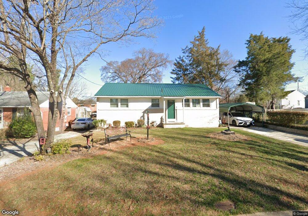
2113 Lowe Ave High Point, NC 27260
Greater High Point NeighborhoodEstimated Value: $118,636 - $133,000
2
Beds
1
Bath
975
Sq Ft
$132/Sq Ft
Est. Value
About This Home
This home is located at 2113 Lowe Ave, High Point, NC 27260 and is currently estimated at $128,659, approximately $131 per square foot. 2113 Lowe Ave is a home located in Guilford County with nearby schools including Fairview Elementary School, Ferndale Middle School, and High Point Central High School.
Ownership History
Date
Name
Owned For
Owner Type
Purchase Details
Closed on
Mar 3, 2016
Sold by
Watts Buck and Watts Kay S
Bought by
Keel Billy and Rogers Letha
Current Estimated Value
Home Financials for this Owner
Home Financials are based on the most recent Mortgage that was taken out on this home.
Original Mortgage
$65,000
Outstanding Balance
$51,685
Interest Rate
3.79%
Mortgage Type
Purchase Money Mortgage
Estimated Equity
$76,974
Create a Home Valuation Report for This Property
The Home Valuation Report is an in-depth analysis detailing your home's value as well as a comparison with similar homes in the area
Home Values in the Area
Average Home Value in this Area
Purchase History
| Date | Buyer | Sale Price | Title Company |
|---|---|---|---|
| Keel Billy | -- | None Available |
Source: Public Records
Mortgage History
| Date | Status | Borrower | Loan Amount |
|---|---|---|---|
| Open | Keel Billy | $65,000 |
Source: Public Records
Tax History
| Year | Tax Paid | Tax Assessment Tax Assessment Total Assessment is a certain percentage of the fair market value that is determined by local assessors to be the total taxable value of land and additions on the property. | Land | Improvement |
|---|---|---|---|---|
| 2025 | $677 | $49,100 | $7,000 | $42,100 |
| 2024 | $677 | $49,100 | $7,000 | $42,100 |
| 2023 | $677 | $49,100 | $7,000 | $42,100 |
| 2022 | $662 | $49,100 | $7,000 | $42,100 |
| 2021 | $524 | $38,000 | $6,000 | $32,000 |
| 2020 | $524 | $38,000 | $6,000 | $32,000 |
| 2019 | $524 | $38,000 | $0 | $0 |
| 2018 | $521 | $38,000 | $0 | $0 |
| 2017 | $524 | $38,000 | $0 | $0 |
| 2016 | $581 | $41,400 | $0 | $0 |
| 2015 | $584 | $41,400 | $0 | $0 |
| 2014 | $594 | $41,400 | $0 | $0 |
Source: Public Records
Map
Nearby Homes
- 1914 E Russell Ave
- 1111 Winslow St
- 650 Wesley Dr
- 640 Wesley Dr
- 1110 Worth St
- 1806 Franklin Ave
- 1809 Franklin Ave
- 1314 Franklin Ave
- 1422 Valley Ridge Dr
- 430 New St
- 2317 Purdy Ave
- 1423 E Commerce Ave
- 1103 Jefferson St
- 811 Worth St
- 1012 Jefferson St
- 1908 Leonard Ave
- 335 Nathan Hunt Dr
- 812 E Russell Ave
- 1114 Richland St
- 1010 Grace St
- 2111 Lowe Ave
- 1422 Brentwood St
- 1424 Brentwood St
- 1420 Brentwood St
- 2107 Lowe Ave
- 1500 Brentwood St
- 2112 Lowe Ave
- 2110 Lowe Ave
- 1502 Brentwood St
- 2105 Lowe Ave
- 2108 Lowe Ave
- 2106 Lowe Ave
- 1423 Brentwood St
- 1421 Brentwood St
- 1425 Brentwood St
- 1506 Brentwood St
- 2104 Lowe Ave
- 1509 Worth St
- 1507 Worth St
- 1501 Brentwood St
Your Personal Tour Guide
Ask me questions while you tour the home.