2113 Portside Way Anderson, SC 29625
Estimated Value: $162,888 - $215,000
--
Bed
--
Bath
--
Sq Ft
305
Sq Ft Lot
About This Home
This home is located at 2113 Portside Way, Anderson, SC 29625 and is currently estimated at $195,472. 2113 Portside Way is a home located in Anderson County with nearby schools including Pendleton High School, Anderson Christian School, and Covenant Christian Academy.
Ownership History
Date
Name
Owned For
Owner Type
Purchase Details
Closed on
Nov 19, 2025
Sold by
Richards Berniece S
Bought by
Richards Berniece S and Richards Julia Nicole
Current Estimated Value
Purchase Details
Closed on
Jul 12, 2022
Sold by
Richards Berniece S
Bought by
Richards Berniece S and Richards Mark P
Purchase Details
Closed on
May 19, 2021
Sold by
Richards Berniece S and Estate Of William Anthony Rich
Bought by
Richards Berniece S and Richards Mark P
Purchase Details
Closed on
Feb 25, 2003
Sold by
Carman Dennis P
Bought by
Roberts Dawn M
Create a Home Valuation Report for This Property
The Home Valuation Report is an in-depth analysis detailing your home's value as well as a comparison with similar homes in the area
Home Values in the Area
Average Home Value in this Area
Purchase History
| Date | Buyer | Sale Price | Title Company |
|---|---|---|---|
| Richards Berniece S | -- | None Listed On Document | |
| Richards Berniece S | -- | None Listed On Document | |
| Richards Berniece S | -- | -- | |
| Richards Berniece S | -- | None Available | |
| Roberts Dawn M | $61,700 | -- |
Source: Public Records
Tax History Compared to Growth
Tax History
| Year | Tax Paid | Tax Assessment Tax Assessment Total Assessment is a certain percentage of the fair market value that is determined by local assessors to be the total taxable value of land and additions on the property. | Land | Improvement |
|---|---|---|---|---|
| 2024 | $599 | $5,220 | $0 | $5,220 |
| 2023 | $597 | $5,220 | $0 | $5,220 |
| 2022 | $470 | $5,220 | $0 | $5,220 |
| 2021 | $467 | $5,220 | $0 | $5,220 |
| 2020 | $461 | $5,220 | $0 | $5,220 |
| 2019 | $461 | $5,220 | $0 | $5,220 |
| 2018 | $465 | $5,220 | $0 | $5,220 |
| 2017 | -- | $5,220 | $0 | $5,220 |
| 2016 | $440 | $5,220 | $0 | $5,220 |
| 2015 | $444 | $5,220 | $0 | $5,220 |
| 2014 | $459 | $5,220 | $0 | $5,220 |
Source: Public Records
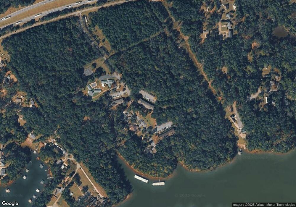
Map
Nearby Homes
- 2112 Portside Way Unit E302
- 1402 Leeward Rd
- 2012 Driftwood Way
- 1035 George Smith Mill Rd
- 1033 George Smith Mill Rd
- 1031 George Smith Mill Rd
- 2407 Watkins Rd Ext Rd
- 408 Watermarke Ln Unit 408
- 605 Watermarke Ln
- 601 Watermarke Ln Unit 601
- 1003 Fallon Ln
- 1002 Fallon Ln
- R-1-B + R-2 Destination Blvd
- R-1-A Destination Blvd
- 105 Destination Blvd
- 811 Northlake Dr Unit 8K
- 902 Northlake Dr
- 1011 Northlake Dr Unit 10K
- 131 Lookover Dr
- 1106 Northlake Dr Unit 11F
- 2107 Portside Way Unit E202
- 2108 Portside Way Unit E203
- 2115 Portside Way
- 2114 Portside Way
- 2111 Portside Way Unit E301
- 2109 Portside Way Unit Leeward Landing
- 2109 Portside Way Unit E24
- 2110 Portside Way Unit E205
- 2101 Portside Way
- 2101 Portside Way Unit Leeward Landing
- 2116 Portside Way
- 2103 Portside Way
- 2103 Portside Way Unit 2103
- 2103 Portside Way Unit Leeward Landing
- 2103 Portside Way Unit E103
- 2104 Portside Way Unit E104
- 2105 Portside Way Unit E105
- 2106 Portside Way
- 2106 Portside Way Unit E206
- 106 Captains Way Unit M206