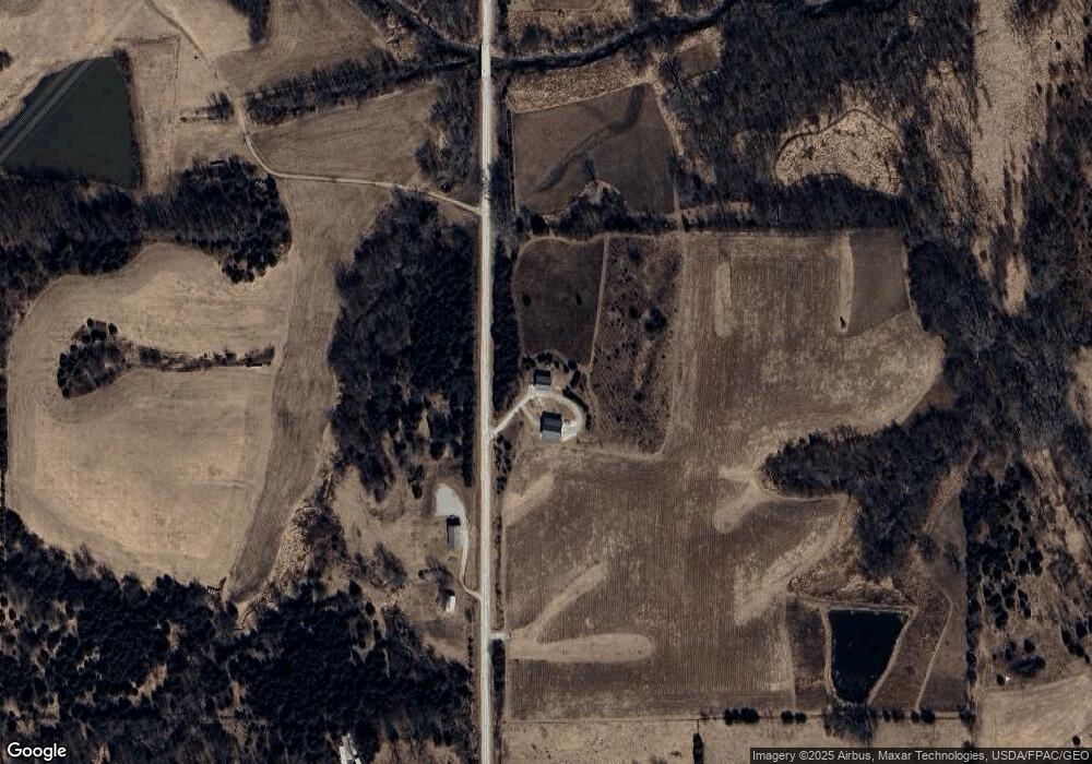
21130 Apple Ave Bloomfield, IA 52537
Estimated Value: $212,000 - $284,000
1
Bed
1
Bath
924
Sq Ft
$268/Sq Ft
Est. Value
About This Home
This home is located at 21130 Apple Ave, Bloomfield, IA 52537 and is currently estimated at $248,000, approximately $268 per square foot. 21130 Apple Ave is a home with nearby schools including Davis County Elementary School, Davis County Middle School, and Davis County Community High School.
Ownership History
Date
Name
Owned For
Owner Type
Purchase Details
Closed on
Aug 4, 2025
Sold by
Swinton Douglas J and Swinton Rebecca L
Bought by
Douglas Swinton Revocable Trust and Rebecca Swinton Revocable Trust
Current Estimated Value
Purchase Details
Closed on
Dec 8, 2008
Sold by
Nichols Michael J
Bought by
Lenz Brent C and Lenz Patti A
Home Financials for this Owner
Home Financials are based on the most recent Mortgage that was taken out on this home.
Original Mortgage
$108,750
Interest Rate
6.19%
Mortgage Type
Purchase Money Mortgage
Create a Home Valuation Report for This Property
The Home Valuation Report is an in-depth analysis detailing your home's value as well as a comparison with similar homes in the area
Home Values in the Area
Average Home Value in this Area
Purchase History
| Date | Buyer | Sale Price | Title Company |
|---|---|---|---|
| Douglas Swinton Revocable Trust | -- | None Listed On Document | |
| Lenz Brent C | $145,000 | None Available |
Source: Public Records
Mortgage History
| Date | Status | Borrower | Loan Amount |
|---|---|---|---|
| Previous Owner | Lenz Brent C | $108,750 |
Source: Public Records
Tax History Compared to Growth
Tax History
| Year | Tax Paid | Tax Assessment Tax Assessment Total Assessment is a certain percentage of the fair market value that is determined by local assessors to be the total taxable value of land and additions on the property. | Land | Improvement |
|---|---|---|---|---|
| 2025 | $3,266 | $256,000 | $90,710 | $165,290 |
| 2024 | $3,266 | $205,600 | $58,470 | $147,130 |
| 2023 | $3,348 | $205,600 | $58,470 | $147,130 |
| 2022 | $3,348 | $183,390 | $41,980 | $141,410 |
| 2021 | $2,992 | $162,390 | $41,980 | $120,410 |
| 2020 | $2,558 | $140,880 | $27,740 | $113,140 |
| 2019 | $2,592 | $124,730 | $0 | $0 |
| 2018 | $2,542 | $124,730 | $21,870 | $102,860 |
| 2017 | $2,542 | $124,730 | $21,870 | $102,860 |
| 2016 | $2,444 | $118,180 | $0 | $0 |
| 2015 | $2,444 | $118,880 | $0 | $0 |
| 2014 | $2,286 | $118,880 | $0 | $0 |
Source: Public Records
Map
Nearby Homes
- 12392 Iowa 2
- Tbd Driftwood Blvd
- 13137 Iowa 2
- TBD Driftwood Blvd
- 22726 Iowa 202
- 307 E 5th St
- 301 E 1st St
- UKA Blackberry Ridge Rd
- Blackberry Ridge Rd
- 516th St
- 14611 Arbor Blvd
- 14758 276th St
- 0 Highway J3t
- 14926 Hwy T61
- 14926 Hwy Hwy
- 27005 Fig Ave
- 0 Hwy J3t Unit 21850668
- 15818 Walnut Grove Dr
- 0 516th St Unit NOC6330251
- 29888 Highway J3t