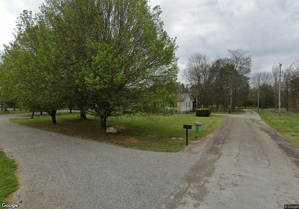
2114 Mae Ln Lewisburg, TN 37091
Estimated Value: $298,644 - $425,000
--
Bed
2
Baths
2,210
Sq Ft
$166/Sq Ft
Est. Value
About This Home
This home is located at 2114 Mae Ln, Lewisburg, TN 37091 and is currently estimated at $366,911, approximately $166 per square foot. 2114 Mae Ln is a home located in Marshall County with nearby schools including Oak Grove Elementary School, Marshall Elementary School, and Westhills Elementary School.
Ownership History
Date
Name
Owned For
Owner Type
Purchase Details
Closed on
Jul 19, 2004
Sold by
Loren Trumble and Loren Anne
Bought by
David Blank and David Charlene
Current Estimated Value
Purchase Details
Closed on
Jun 28, 1999
Sold by
Diane Cathey Shirley
Bought by
Trumble Lorin S
Purchase Details
Closed on
Dec 5, 1997
Sold by
Cathey Frank H
Bought by
Diane Cathey Shirley
Purchase Details
Closed on
Aug 21, 1992
Bought by
Cathey Frank H and Cathey Shirley Diane
Purchase Details
Closed on
May 31, 1985
Bought by
Stoltz Joey and Stoltz Kimberly
Create a Home Valuation Report for This Property
The Home Valuation Report is an in-depth analysis detailing your home's value as well as a comparison with similar homes in the area
Home Values in the Area
Average Home Value in this Area
Purchase History
| Date | Buyer | Sale Price | Title Company |
|---|---|---|---|
| David Blank | $97,000 | -- | |
| Trumble Lorin S | $87,900 | -- | |
| Diane Cathey Shirley | -- | -- | |
| Cathey Frank H | $62,000 | -- | |
| Stoltz Joey | $39,000 | -- |
Source: Public Records
Tax History Compared to Growth
Tax History
| Year | Tax Paid | Tax Assessment Tax Assessment Total Assessment is a certain percentage of the fair market value that is determined by local assessors to be the total taxable value of land and additions on the property. | Land | Improvement |
|---|---|---|---|---|
| 2024 | $1,011 | $55,600 | $10,100 | $45,500 |
| 2023 | $974 | $55,600 | $10,100 | $45,500 |
| 2022 | $974 | $53,550 | $10,100 | $43,450 |
| 2021 | $893 | $31,775 | $4,050 | $27,725 |
| 2020 | $893 | $31,775 | $4,050 | $27,725 |
| 2019 | $893 | $31,775 | $4,050 | $27,725 |
| 2018 | $924 | $31,775 | $4,050 | $27,725 |
| 2017 | $924 | $33,475 | $4,050 | $29,425 |
| 2016 | $906 | $28,150 | $4,175 | $23,975 |
| 2015 | $906 | $28,150 | $4,175 | $23,975 |
| 2014 | $906 | $28,150 | $4,175 | $23,975 |
Source: Public Records
Map
Nearby Homes
- 3293 Nashville Hwy
- 3130 Nashville Hwy
- 3077 Nashville Hwy
- 3327 Nashville Hwy
- 2137 Horton Way
- 2220 Hunter Bills Rd
- 2555 Bob Cheek Rd
- 3560 Nashville Hwy
- 3600 Nashville Hwy
- 1820 Wade Brown Rd
- 0 Nashville Hwy Unit RTC3045409
- 0 Nashville Hwy Unit RTC2970248
- 0 Nashville Hwy Unit RTC2975994
- 0 Anes Station Rd
- 3388 Anes Station Rd
- 2309 Hunter Rd
- 2150 Highway 40
- 2001 Highway 40
- 3124 Rich Dr
- 1510 Wade Brown Rd