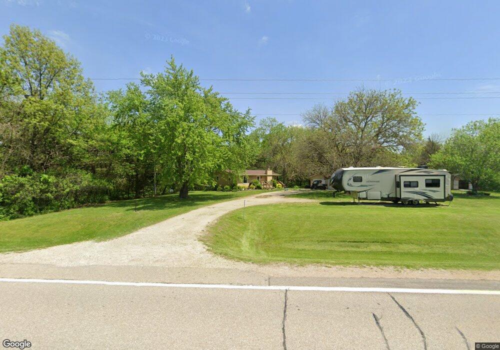
2114 W Point Rd West Point, IA 52656
Estimated Value: $191,000 - $245,715
2
Beds
1
Bath
960
Sq Ft
$230/Sq Ft
Est. Value
About This Home
This home is located at 2114 W Point Rd, West Point, IA 52656 and is currently estimated at $221,238, approximately $230 per square foot. 2114 W Point Rd is a home with nearby schools including Fort Madison High School.
Ownership History
Date
Name
Owned For
Owner Type
Purchase Details
Closed on
Jun 6, 2023
Sold by
Kester Karen S and Kester Edward Todd
Bought by
Kester Edward Todd and Kester Karen S
Current Estimated Value
Create a Home Valuation Report for This Property
The Home Valuation Report is an in-depth analysis detailing your home's value as well as a comparison with similar homes in the area
Purchase History
| Date | Buyer | Sale Price | Title Company |
|---|---|---|---|
| Kester Edward Todd | -- | None Listed On Document |
Source: Public Records
Tax History
| Year | Tax Paid | Tax Assessment Tax Assessment Total Assessment is a certain percentage of the fair market value that is determined by local assessors to be the total taxable value of land and additions on the property. | Land | Improvement |
|---|---|---|---|---|
| 2025 | $1,658 | $212,480 | $39,600 | $172,880 |
| 2024 | $1,658 | $153,890 | $28,470 | $125,420 |
| 2023 | $1,650 | $149,640 | $28,470 | $121,170 |
| 2022 | $1,416 | $116,650 | $27,000 | $89,650 |
| 2021 | $1,416 | $116,650 | $27,000 | $89,650 |
| 2020 | $1,478 | $113,580 | $28,620 | $84,960 |
| 2019 | $1,430 | $113,580 | $28,620 | $84,960 |
| 2018 | $1,482 | $107,150 | $0 | $0 |
| 2017 | $1,482 | $102,940 | $0 | $0 |
| 2016 | $1,358 | $102,940 | $0 | $0 |
| 2015 | $1,358 | $99,940 | $0 | $0 |
| 2014 | $1,280 | $99,940 | $0 | $0 |
Source: Public Records
Map
Nearby Homes
- 2388 218th St
- 0 Blues Highway & Bluff Rd
- 4991 Bluff Rd
- 4601 River Bend Sub Lot 4
- 2794 221st St
- 4945 Grand View Ln
- 4922 Grand View Ln
- 4915 River Valley Rd
- 1123 48th St Unit 20
- 0 N Hillview Vil
- RR Woodland Heights Ct
- 2229 235th St
- 1522 39th St
- 706 34th Place
- 618 34th St
- 806 34th St
- 225 Vica Ln
- 2501 265th Ave
- 53 5th St
- 3030 Avenue I
- 2125 W Point Rd
- 2100 W Point Rd
- 2151 W Point Rd
- 2071 W Point Rd
- 2060 W Point Rd
- 2176 W Point Rd
- 2054 W Point Rd
- 2175 W Point Rd
- 2528 Cedar Ln
- 2179 W Point Rd
- 2 Cedar Ln
- 2520 Cedar Ln
- 2527 Cedar Ln
- 2183 W Point Rd
- 2519 Cedar Ln
- 2190 W Point Rd
- 2189 W Point Rd
- 2523 218th St
- 2197 W Point Rd
- 2194 W Point Rd
Your Personal Tour Guide
Ask me questions while you tour the home.