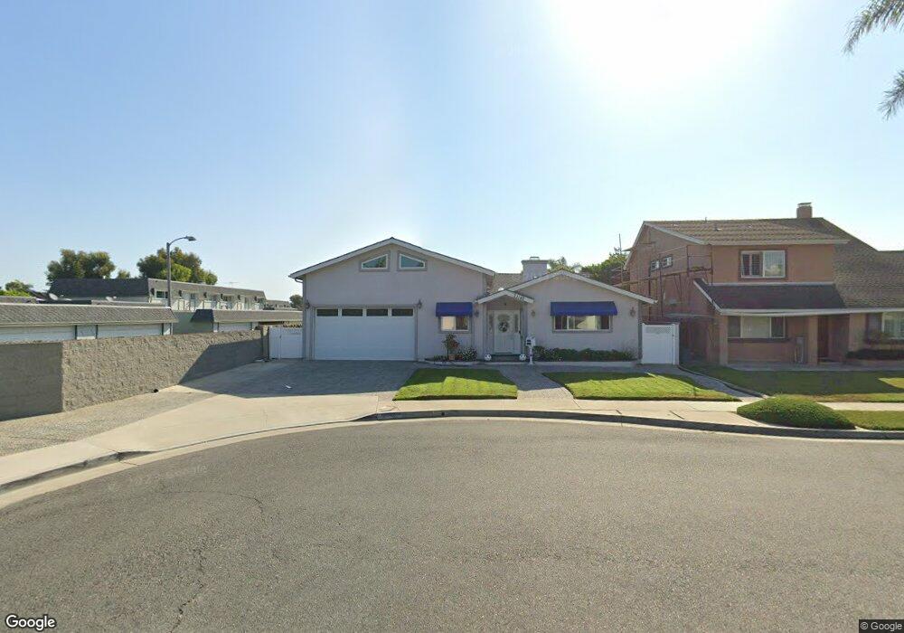
21142 Cupar Ln Huntington Beach, CA 92646
Southeast NeighborhoodEstimated Value: $1,328,000 - $1,468,000
2
Beds
3
Baths
2,117
Sq Ft
$667/Sq Ft
Est. Value
About This Home
This home is located at 21142 Cupar Ln, Huntington Beach, CA 92646 and is currently estimated at $1,411,157, approximately $666 per square foot. 21142 Cupar Ln is a home located in Orange County with nearby schools including S.A. Moffett Elementary School, Isaac L. Sowers Middle School, and Edison High School.
Ownership History
Date
Name
Owned For
Owner Type
Purchase Details
Closed on
Dec 10, 2021
Sold by
Thai Hao V
Bought by
Thai Angie
Current Estimated Value
Purchase Details
Closed on
Nov 16, 2021
Sold by
Mccullough Geraldine Anne and Mc Cullough Family Trust
Bought by
Thai Lien and Thai Angie
Purchase Details
Closed on
Aug 20, 2003
Sold by
Mccullough Marvyn Jay and Mccullough Geraldine Anne
Bought by
Mccullough Marvyn Jay and Mccullough Geraldine Anne
Create a Home Valuation Report for This Property
The Home Valuation Report is an in-depth analysis detailing your home's value as well as a comparison with similar homes in the area
Home Values in the Area
Average Home Value in this Area
Purchase History
| Date | Buyer | Sale Price | Title Company |
|---|---|---|---|
| Thai Angie | -- | Lawyers Title Company | |
| Thai Young | -- | Lawyers Title Oc | |
| Thai Lien | $850,000 | Lawyers Title Oc | |
| Mccullough Marvyn Jay | -- | -- |
Source: Public Records
Tax History Compared to Growth
Tax History
| Year | Tax Paid | Tax Assessment Tax Assessment Total Assessment is a certain percentage of the fair market value that is determined by local assessors to be the total taxable value of land and additions on the property. | Land | Improvement |
|---|---|---|---|---|
| 2025 | $14,157 | $1,273,449 | $1,096,080 | $177,369 |
| 2024 | $14,157 | $1,248,480 | $1,074,588 | $173,892 |
| 2023 | $13,844 | $1,224,000 | $1,053,517 | $170,483 |
| 2022 | $15,669 | $1,400,000 | $1,245,152 | $154,848 |
| 2021 | $1,863 | $144,122 | $27,280 | $116,842 |
| 2020 | $1,849 | $142,645 | $27,001 | $115,644 |
| 2019 | $1,829 | $139,849 | $26,472 | $113,377 |
| 2018 | $1,800 | $137,107 | $25,953 | $111,154 |
| 2017 | $1,775 | $134,419 | $25,444 | $108,975 |
| 2016 | $1,704 | $131,784 | $24,945 | $106,839 |
| 2015 | $1,684 | $129,805 | $24,570 | $105,235 |
| 2014 | $1,648 | $127,263 | $24,089 | $103,174 |
Source: Public Records
Map
Nearby Homes
- 8401 Atlanta Ave
- 21131 Greenboro Ln
- 8331 Snowbird Dr
- 21032 Shepherd Ln
- 8438 Hibiscus Cir
- 7993 Aldea Cir
- 7988 Aldea Cir
- 8633 Portola Ct Unit 18G
- 21254 Lorca Cir Unit 51
- 21331 Balerma Ln
- 7826 Sailboat Cir Unit 20
- 8566 Larkhall Cir Unit 808A
- 8566 Larkhall Cir Unit 809D
- 21851 Newland St Unit 104
- 21851 Newland St Unit 255
- 21851 Newland St Unit 232
- 21851 Newland St Unit 44
- 21851 Newland St Unit 117
- 21851 Newland St Unit 109
- 21851 Newland St Unit 58
- 21152 Cupar Ln
- 21141 Banff Ln
- 8277 Cape Horn Dr
- 8287 Cape Horn Dr
- 8267 Cape Horn Dr
- 8291 Cape Horn Dr
- 21151 Banff Ln
- 21162 Cupar Ln
- 8297 Cape Horn Dr
- 8261 Cape Horn Dr
- 8301 Cape Horn Dr
- 8307 Cape Horn Dr
- 21161 Banff Ln
- 21141 Cupar Ln
- 21132 Windchild Ln
- 8317 Cape Horn Dr
- 21151 Cupar Ln
- 21126 Windchild Ln
- 21172 Cupar Ln
- 21124 Windchild Ln