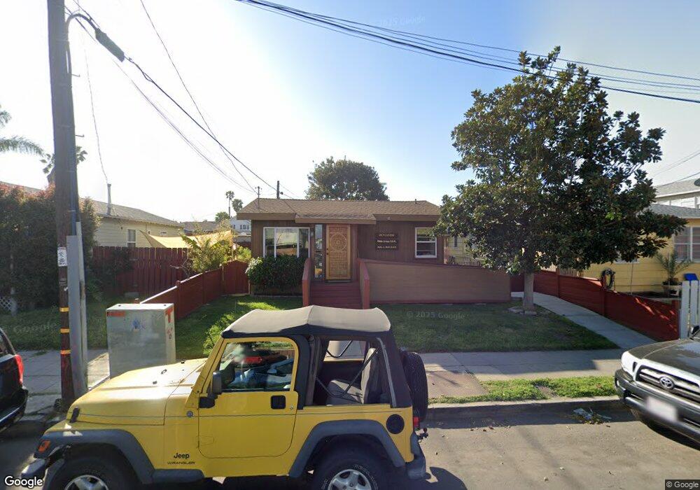
2115 Bacon St San Diego, CA 92107
Ocean Beach NeighborhoodEstimated Value: $1,330,000 - $1,512,000
--
Bed
--
Bath
890
Sq Ft
$1,591/Sq Ft
Est. Value
About This Home
This home is located at 2115 Bacon St, San Diego, CA 92107 and is currently estimated at $1,415,650, approximately $1,590 per square foot. 2115 Bacon St is a home with nearby schools including Ocean Beach Elementary School, Richard Henry Dana Middle School, and Correia Middle School.
Ownership History
Date
Name
Owned For
Owner Type
Purchase Details
Closed on
Sep 7, 2018
Sold by
Hall James W and Hall Janell
Bought by
Dr Pablo E Liciaga Inc
Current Estimated Value
Home Financials for this Owner
Home Financials are based on the most recent Mortgage that was taken out on this home.
Original Mortgage
$637,500
Interest Rate
4.6%
Mortgage Type
Future Advance Clause Open End Mortgage
Create a Home Valuation Report for This Property
The Home Valuation Report is an in-depth analysis detailing your home's value as well as a comparison with similar homes in the area
Home Values in the Area
Average Home Value in this Area
Purchase History
| Date | Buyer | Sale Price | Title Company |
|---|---|---|---|
| Dr Pablo E Liciaga Inc | $750,000 | Fidelity National Title |
Source: Public Records
Mortgage History
| Date | Status | Borrower | Loan Amount |
|---|---|---|---|
| Previous Owner | Dr Pablo E Liciaga Inc | $637,500 |
Source: Public Records
Tax History Compared to Growth
Tax History
| Year | Tax Paid | Tax Assessment Tax Assessment Total Assessment is a certain percentage of the fair market value that is determined by local assessors to be the total taxable value of land and additions on the property. | Land | Improvement |
|---|---|---|---|---|
| 2025 | $10,108 | $836,633 | $752,972 | $83,661 |
| 2024 | $10,108 | $820,229 | $738,208 | $82,021 |
| 2023 | $9,885 | $804,147 | $723,734 | $80,413 |
| 2022 | $9,622 | $788,381 | $709,544 | $78,837 |
| 2021 | $9,557 | $772,924 | $695,632 | $77,292 |
| 2020 | $9,441 | $765,000 | $688,500 | $76,500 |
| 2019 | $9,273 | $750,000 | $675,000 | $75,000 |
| 2018 | $1,004 | $82,391 | $40,994 | $41,397 |
| 2017 | $979 | $80,777 | $40,191 | $40,586 |
| 2016 | $962 | $79,194 | $39,403 | $39,791 |
| 2015 | $948 | $78,006 | $38,812 | $39,194 |
| 2014 | $935 | $76,479 | $38,052 | $38,427 |
Source: Public Records
Map
Nearby Homes
- 4922 Muir Ave
- 4954 Saratoga Ave
- 5035 Saratoga Ave
- 1975 Bacon St
- 5123 Lotus St
- 5036 W Point Loma Blvd
- 5038-40 W Point Loma Blvd
- 4685 Long Branch Ave
- 4674 Saratoga Ave Unit 2
- 4985 Narragansett Ave Unit 87
- 1817-19 Sunset Cliffs Blvd
- 4851 Narragansett Ave
- 4614 Larkspur St
- 2226 Etiwanda St
- 2068 Guizot St
- 4484 Long Branch Ave
- 4620 Narragansett Ave
- 4545 Newport Ave
- 2632 Bayside Walk
- 4985 Coronado Ave Unit 2
- 2109 Bacon St Unit 11
- 4983 Long Branch Ave Unit 2
- 4987 Long Branch Ave
- 4984 Brighton Ave Unit 90
- 4979 Long Branch Ave
- 4978 Brighton Ave
- 4978A Brighton Ave
- 2128 Bacon St Unit 2
- 2122 Bacon St
- 4971 Long Branch Ave
- 2104 Bacon St
- 2104 Bacon St Unit 10
- 0 Bacon St Unit 46-48 250013859
- 0 Bacon St Unit 46-48
- 4966 Brighton Ave Unit 70
- 5007 Long Branch Ave Unit 9
- 4963 Long Branch Ave
- 4964 Brighton Ave
- 2131 Bacon St
- 4983 Brighton Ave