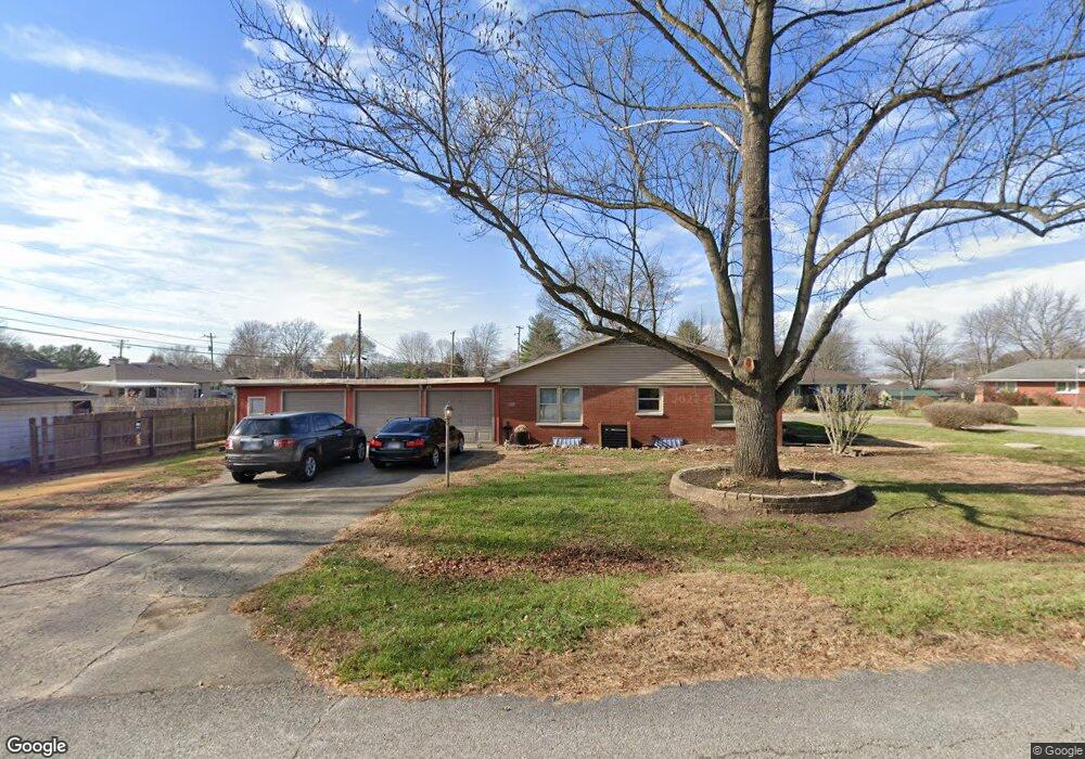
2115 Mark Twain Ave Seymour, IN 47274
Estimated Value: $231,000 - $276,000
3
Beds
2
Baths
2,968
Sq Ft
$84/Sq Ft
Est. Value
About This Home
This home is located at 2115 Mark Twain Ave, Seymour, IN 47274 and is currently estimated at $248,339, approximately $83 per square foot. 2115 Mark Twain Ave is a home located in Jackson County with nearby schools including Seymour-Redding Elementary School, Seymour Middle School, and Seymour Senior High School.
Ownership History
Date
Name
Owned For
Owner Type
Purchase Details
Closed on
Nov 1, 2017
Sold by
Wilkerson Matthew E
Bought by
Smith James Harold
Current Estimated Value
Home Financials for this Owner
Home Financials are based on the most recent Mortgage that was taken out on this home.
Original Mortgage
$135,800
Outstanding Balance
$113,734
Interest Rate
3.83%
Mortgage Type
New Conventional
Estimated Equity
$134,605
Purchase Details
Closed on
Jan 12, 2007
Sold by
Wilkerson Rachel
Bought by
Eilkerson Matthew E
Create a Home Valuation Report for This Property
The Home Valuation Report is an in-depth analysis detailing your home's value as well as a comparison with similar homes in the area
Home Values in the Area
Average Home Value in this Area
Purchase History
| Date | Buyer | Sale Price | Title Company |
|---|---|---|---|
| Smith James Harold | -- | None Available | |
| Eilkerson Matthew E | -- | None Available |
Source: Public Records
Mortgage History
| Date | Status | Borrower | Loan Amount |
|---|---|---|---|
| Open | Smith James Harold | $135,800 |
Source: Public Records
Tax History Compared to Growth
Tax History
| Year | Tax Paid | Tax Assessment Tax Assessment Total Assessment is a certain percentage of the fair market value that is determined by local assessors to be the total taxable value of land and additions on the property. | Land | Improvement |
|---|---|---|---|---|
| 2024 | $904 | $168,200 | $25,000 | $143,200 |
| 2023 | $1,002 | $178,500 | $25,000 | $153,500 |
| 2022 | $1,033 | $176,800 | $25,000 | $151,800 |
| 2021 | $770 | $163,000 | $25,000 | $138,000 |
| 2020 | $758 | $163,000 | $25,000 | $138,000 |
| 2019 | $779 | $167,400 | $27,500 | $139,900 |
| 2018 | $711 | $158,200 | $27,500 | $130,700 |
| 2017 | $533 | $155,200 | $27,500 | $127,700 |
| 2016 | $429 | $155,200 | $27,500 | $127,700 |
| 2014 | $621 | $157,000 | $27,500 | $129,500 |
| 2013 | $621 | $157,500 | $27,500 | $130,000 |
Source: Public Records
Map
Nearby Homes
- 439 Alisa Ave
- 720 Redding Rd
- 1935 N Ewing St
- 6778 Redbud Ln
- 6762 Redbud Ln
- 6786 Coreopsis Ln
- 6784 Coreopsis Ln
- 6827 Bluebird Ln
- 6811 Sunflower Ct
- 6809 Sunflower Ct
- 6813 Sunflower Ct
- 6990 Meadow Run
- 6980 Meadow Run
- 6842 Bluebird Ln
- 6823 Bluebird Ln
- 338 Redwood Dr
- 1510 Shields Ave
- 9162 Janelle Dr
- 304 E 14th St
- 500 E 14th St
- 2121 Mark Twain Ave
- 619 Redding Rd
- 613 Redding Rd
- 2112 Mark Twain Ave
- 2120 Mark Twain Ave
- 2112 Hillside Dr
- 2127 Mark Twain Ave
- 625 Redding Rd
- 2135 Mark Twain Ave
- 2126 Mark Twain Ave
- 2120 Hillside Dr
- 2134 Mark Twain Ave
- 2124 Hillside Dr
- 620 Roger Dr
- 2008 Chelsea Ct
- 2008 Chelsea Ct
- 2107 Hillside Dr
- 2006 Chelsea Ct
- 620 Redding Rd
- 2103 Hillside Dr