2115 Mt Highway 206 Columbia Falls, MT 59912
Estimated Value: $627,000 - $789,000
3
Beds
2
Baths
1,590
Sq Ft
$431/Sq Ft
Est. Value
About This Home
This home is located at 2115 Mt Highway 206, Columbia Falls, MT 59912 and is currently estimated at $685,147, approximately $430 per square foot. 2115 Mt Highway 206 is a home located in Flathead County with nearby schools including Deer Park Elementary School, Deer Park Junior High School, and Flathead High School.
Ownership History
Date
Name
Owned For
Owner Type
Purchase Details
Closed on
Mar 13, 2023
Sold by
Sullivan Robert Paul
Bought by
Sullivan Robert Paul and Sullivan Tiffany Joan
Current Estimated Value
Home Financials for this Owner
Home Financials are based on the most recent Mortgage that was taken out on this home.
Original Mortgage
$653,516
Outstanding Balance
$632,999
Interest Rate
6.13%
Mortgage Type
Construction
Estimated Equity
$52,148
Purchase Details
Closed on
Jun 25, 2012
Sold by
Meyers Steven R and Kuntz Linda Ann
Bought by
Martinson Tammy J and Martinson Phillip
Home Financials for this Owner
Home Financials are based on the most recent Mortgage that was taken out on this home.
Original Mortgage
$198,550
Interest Rate
3.77%
Mortgage Type
New Conventional
Create a Home Valuation Report for This Property
The Home Valuation Report is an in-depth analysis detailing your home's value as well as a comparison with similar homes in the area
Home Values in the Area
Average Home Value in this Area
Purchase History
| Date | Buyer | Sale Price | Title Company |
|---|---|---|---|
| Sullivan Robert Paul | -- | Fidelity National Title | |
| Martinson Tammy J | -- | Insured Titles |
Source: Public Records
Mortgage History
| Date | Status | Borrower | Loan Amount |
|---|---|---|---|
| Open | Sullivan Robert Paul | $653,516 | |
| Previous Owner | Martinson Tammy J | $198,550 |
Source: Public Records
Tax History Compared to Growth
Tax History
| Year | Tax Paid | Tax Assessment Tax Assessment Total Assessment is a certain percentage of the fair market value that is determined by local assessors to be the total taxable value of land and additions on the property. | Land | Improvement |
|---|---|---|---|---|
| 2025 | $1,162 | $658,600 | $0 | $0 |
| 2024 | $637 | $407,860 | $0 | $0 |
| 2023 | $2,747 | $537,550 | $0 | $0 |
| 2022 | $2,450 | $355,370 | $0 | $0 |
| 2021 | $2,477 | $355,370 | $0 | $0 |
| 2020 | $2,521 | $342,400 | $0 | $0 |
| 2019 | $2,474 | $342,400 | $0 | $0 |
| 2018 | $1,809 | $231,980 | $0 | $0 |
| 2017 | $1,700 | $231,980 | $0 | $0 |
| 2016 | $1,701 | $214,730 | $0 | $0 |
| 2015 | $1,732 | $214,730 | $0 | $0 |
| 2014 | $1,743 | $129,797 | $0 | $0 |
Source: Public Records
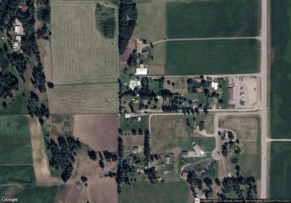
Map
Nearby Homes
- 109 Greenwald Ln
- 125 Greenwald Ln
- 2247 Montana Highway 206
- 128 Back Forty View
- 240 Elk Park Rd
- 1955 Mt Highway 206
- 2360 Montana Highway 206
- 1930 Montana Highway 206
- 183 Middle View Trail
- 154 Columbia Range Dr
- 1785 Mt Highway 206
- Nhn Trap Rd
- 227 Mountain Timbers Dr
- 113 Wood Ridge Dr
- 474 Trap Rd
- 300 Jay Hawk Ln
- 74 Wood Ridge Dr
- 43 Ridgeway Ct
- 56 Wood Ridge Dr
- 100 Timber Axe Ln
- 2115 Mt Highway 206
- 2175 Highway 206
- 2095 Montana Highway 206
- 2115 Highway 206
- 2115 Hwy 206
- 2105 Mt Highway 206
- 2105 Mt Highway 206
- 146 Morgan Ln
- 398 Elk Park Rd
- 152 Morgan Ln
- 370 Elk Park Rd
- 63 Buckskin Trail
- 389 Elk Park Rd
- 104 Greenwald Ln
- 2090 Mt Highway 206
- 600 Kitchen Ln
- 343 Elk Park Rd
- 116 Greenwald Ln Unit 104, 122
- 116 Greenwald Ln