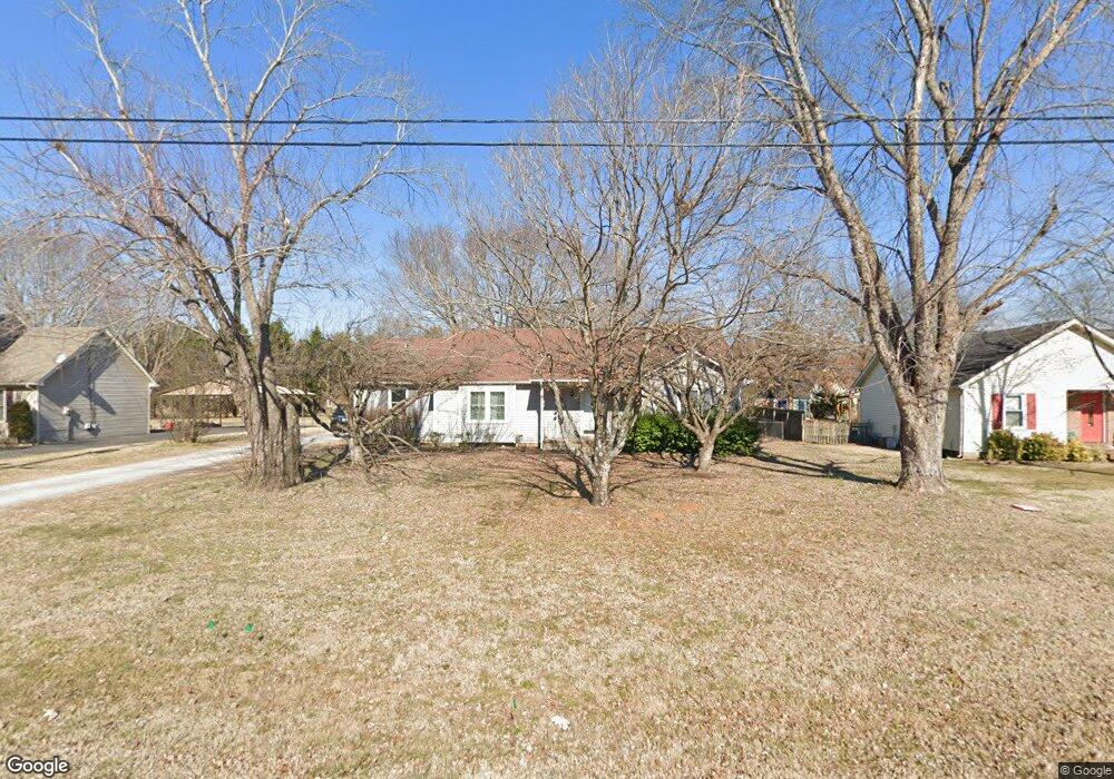
2115 Patriot Dr Murfreesboro, TN 37130
Estimated Value: $288,000 - $336,000
--
Bed
2
Baths
1,272
Sq Ft
$246/Sq Ft
Est. Value
About This Home
This home is located at 2115 Patriot Dr, Murfreesboro, TN 37130 and is currently estimated at $313,236, approximately $246 per square foot. 2115 Patriot Dr is a home located in Rutherford County with nearby schools including John Pittard Elementary School, Oakland Middle School, and Oakland High School.
Ownership History
Date
Name
Owned For
Owner Type
Purchase Details
Closed on
Apr 21, 2017
Sold by
Kious J D
Bought by
Ochoa Francisco and Ochoa Maria G
Current Estimated Value
Home Financials for this Owner
Home Financials are based on the most recent Mortgage that was taken out on this home.
Original Mortgage
$66,500
Outstanding Balance
$34,372
Interest Rate
4.21%
Mortgage Type
Commercial
Estimated Equity
$278,864
Purchase Details
Closed on
Dec 2, 2016
Sold by
Johnson Douglas S
Bought by
Kious J D and The Tatt Too Real Estate Investmnet Trus
Purchase Details
Closed on
Aug 16, 1994
Sold by
Johnson Deborah A
Bought by
Scott Johnson Douglas
Create a Home Valuation Report for This Property
The Home Valuation Report is an in-depth analysis detailing your home's value as well as a comparison with similar homes in the area
Home Values in the Area
Average Home Value in this Area
Purchase History
| Date | Buyer | Sale Price | Title Company |
|---|---|---|---|
| Ochoa Francisco | $136,500 | Lawyers Land & Title Svcs L | |
| Kious J D | $147,500 | Lawyers Land & Title Service | |
| Scott Johnson Douglas | -- | -- |
Source: Public Records
Mortgage History
| Date | Status | Borrower | Loan Amount |
|---|---|---|---|
| Open | Ochoa Francisco | $66,500 |
Source: Public Records
Tax History Compared to Growth
Tax History
| Year | Tax Paid | Tax Assessment Tax Assessment Total Assessment is a certain percentage of the fair market value that is determined by local assessors to be the total taxable value of land and additions on the property. | Land | Improvement |
|---|---|---|---|---|
| 2025 | -- | $60,425 | $13,750 | $46,675 |
| 2024 | $0 | $60,425 | $13,750 | $46,675 |
| 2023 | $1,134 | $60,425 | $13,750 | $46,675 |
| 2022 | $977 | $60,425 | $13,750 | $46,675 |
| 2021 | $919 | $41,400 | $9,250 | $32,150 |
| 2020 | $919 | $41,400 | $9,250 | $32,150 |
| 2019 | $919 | $41,400 | $9,250 | $32,150 |
| 2018 | $1,262 | $41,400 | $0 | $0 |
| 2017 | $1,144 | $29,450 | $0 | $0 |
| 2016 | $1,144 | $29,450 | $0 | $0 |
| 2015 | $1,144 | $29,450 | $0 | $0 |
| 2014 | $732 | $29,450 | $0 | $0 |
| 2013 | -- | $26,675 | $0 | $0 |
Source: Public Records
Map
Nearby Homes
- 2223 Brick Way
- 2164 White Poplar Ct
- 2111 Lovelace Ln
- 1512 Mirabella Way
- 2403 English Hill Dr
- 1430 Avellino Cir
- 1640 Drayton Dr
- 2510 Mission Ridge Dr
- 0 Pitts Ln
- 2110 Stillwell Ct
- 2607 Mission Ridge Dr
- 1409 E Northfield Blvd
- 1728 Shagbark Trail
- 2243 Northwoods Dr
- 2639 Mission Ridge Dr
- 2427 Donald Bradley Ct
- 2428 Sandstone Cir
- 1325 E Northfield Blvd
- 2514 Sandstone Cir
- 3017 Winterberry Dr
- 2119 Patriot Dr
- 2111 Patriot Dr
- 2218 Brick Way
- 2123 Patriot Dr
- 2107 Patriot Dr
- 2222 Brick Way
- 2114 Patriot Dr
- 2118 Patriot Dr
- 2110 Patriot Dr
- 2122 Patriot Dr
- 2554 Pitts Ln
- 2127 Patriot Dr
- 2219 Brick Way
- 2103 Patriot Dr
- 2106 Patriot Dr
- 2226 Brick Way
- 2550 Pitts Ln
- 2126 Patriot Dr
- 2564 Pitts Ln
- 2131 Patriot Dr