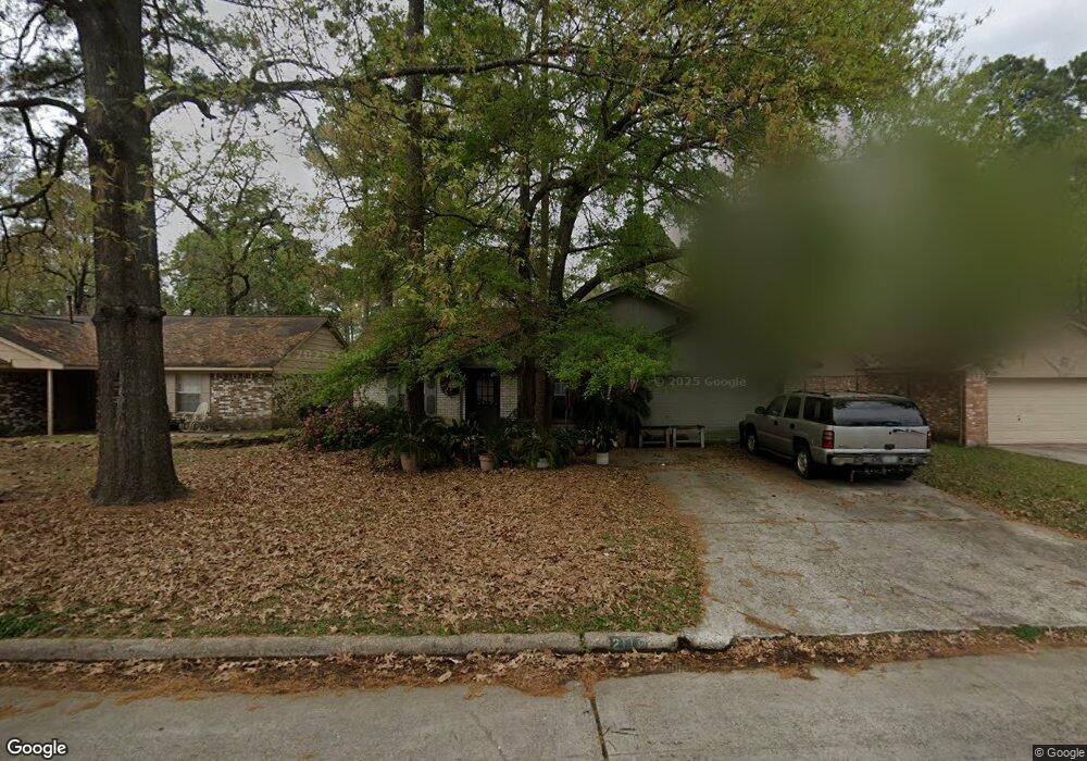
2115 Whitelaw Dr Spring, TX 77386
Imperial Oaks NeighborhoodEstimated Value: $236,000 - $304,000
--
Bed
2
Baths
1,567
Sq Ft
$165/Sq Ft
Est. Value
About This Home
This home is located at 2115 Whitelaw Dr, Spring, TX 77386 and is currently estimated at $258,305, approximately $164 per square foot. 2115 Whitelaw Dr is a home located in Montgomery County with nearby schools including Kaufman Elementary School, Vogel Intermediate School, and Irons J High School.
Ownership History
Date
Name
Owned For
Owner Type
Purchase Details
Closed on
Sep 15, 1995
Sold by
Va
Bought by
Maddox Donald Lee
Current Estimated Value
Home Financials for this Owner
Home Financials are based on the most recent Mortgage that was taken out on this home.
Original Mortgage
$68,990
Interest Rate
7.5%
Mortgage Type
Seller Take Back
Purchase Details
Closed on
Apr 6, 1995
Sold by
Chemical Mtg Company
Bought by
Va
Purchase Details
Closed on
Apr 4, 1995
Sold by
Mcanally John Ruben and Mcanally Margaret Susan
Bought by
Chemical Residential Mtg Corp
Purchase Details
Closed on
Nov 13, 1992
Sold by
Monarch Fund I Inc
Bought by
Maddox Donald L and Maddox Debbie
Create a Home Valuation Report for This Property
The Home Valuation Report is an in-depth analysis detailing your home's value as well as a comparison with similar homes in the area
Home Values in the Area
Average Home Value in this Area
Purchase History
| Date | Buyer | Sale Price | Title Company |
|---|---|---|---|
| Maddox Donald Lee | -- | -- | |
| Va | -- | -- | |
| Chemical Residential Mtg Corp | $52,937 | -- | |
| Maddox Donald L | -- | -- |
Source: Public Records
Mortgage History
| Date | Status | Borrower | Loan Amount |
|---|---|---|---|
| Closed | Maddox Donald Lee | $68,990 |
Source: Public Records
Tax History Compared to Growth
Tax History
| Year | Tax Paid | Tax Assessment Tax Assessment Total Assessment is a certain percentage of the fair market value that is determined by local assessors to be the total taxable value of land and additions on the property. | Land | Improvement |
|---|---|---|---|---|
| 2025 | $3,070 | $209,497 | $50,000 | $159,497 |
| 2024 | $2,690 | $207,317 | -- | -- |
| 2023 | $2,690 | $188,470 | $50,000 | $171,060 |
| 2022 | $3,951 | $171,340 | $9,840 | $187,350 |
| 2021 | $3,867 | $155,760 | $9,840 | $145,920 |
| 2020 | $3,673 | $142,140 | $9,840 | $132,300 |
| 2019 | $3,418 | $135,400 | $9,840 | $125,560 |
| 2018 | $2,858 | $128,860 | $9,840 | $119,020 |
| 2017 | $3,494 | $128,860 | $9,840 | $119,020 |
| 2016 | $3,494 | $128,860 | $9,840 | $119,020 |
| 2015 | $2,950 | $125,530 | $9,840 | $115,690 |
| 2014 | $2,950 | $114,840 | $9,840 | $105,000 |
Source: Public Records
Map
Nearby Homes
- 2110 Rycroft Dr
- 2118 Creston Dr
- 2010 Rycroft Dr
- 30222 Glenboro Dr
- 1938 Havenhouse Dr
- 2315 Legends Gate Dr
- 30406 Littlecroft Dr
- 1935 Invermere Dr
- 30246 Littlecroft Dr
- 1718 Eastvale Dr
- 1714 Eastvale Dr
- 1706 Melissa Dr
- 1618 Mercoal Dr
- 1614 Mercoal Dr
- 30122 Falher Dr
- 1915 W Welsford Dr
- 1602 Medway Dr
- 0 Sungail Dr
- 1702 Bembridge Dr
- 29902 E Hawthorne Dr
- 2111 Whitelaw Dr
- 2119 Whitelaw Dr
- 2114 Wickburn Dr
- 2107 Whitelaw Dr
- 2123 Whitelaw Dr
- 2110 Wickburn Dr
- 2118 Wickburn Dr
- 2106 Wickburn Dr
- 2114 Whitelaw Dr
- 2122 Wickburn Dr
- 2110 Whitelaw Dr
- 2103 Whitelaw Dr
- 30315 Thorsby Dr
- 2106 Whitelaw Dr
- 2127 Whitelaw Dr
- 2102 Wickburn Dr
- 2202 Wickburn Dr
- 2102 Whitelaw Dr
- 30307 Thorsby Dr
- 2023 Whitelaw Dr