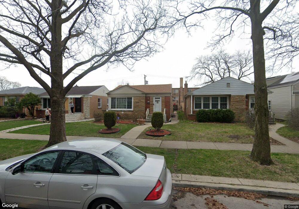
2116 Dobson St Evanston, IL 60202
Southwest Evanston NeighborhoodEstimated Value: $441,000 - $498,000
3
Beds
2
Baths
1,134
Sq Ft
$411/Sq Ft
Est. Value
About This Home
This home is located at 2116 Dobson St, Evanston, IL 60202 and is currently estimated at $465,799, approximately $410 per square foot. 2116 Dobson St is a home located in Cook County with nearby schools including Dawes Elementary School, Chute Middle School, and Evanston Township High School.
Ownership History
Date
Name
Owned For
Owner Type
Purchase Details
Closed on
Nov 22, 1999
Sold by
Devaul Michael A and Devaul Laura A
Bought by
Devaul Brenda
Current Estimated Value
Home Financials for this Owner
Home Financials are based on the most recent Mortgage that was taken out on this home.
Original Mortgage
$127,500
Interest Rate
11.62%
Create a Home Valuation Report for This Property
The Home Valuation Report is an in-depth analysis detailing your home's value as well as a comparison with similar homes in the area
Home Values in the Area
Average Home Value in this Area
Purchase History
| Date | Buyer | Sale Price | Title Company |
|---|---|---|---|
| Devaul Brenda | $170,000 | -- |
Source: Public Records
Mortgage History
| Date | Status | Borrower | Loan Amount |
|---|---|---|---|
| Closed | Devaul Brenda | $127,500 |
Source: Public Records
Tax History
| Year | Tax Paid | Tax Assessment Tax Assessment Total Assessment is a certain percentage of the fair market value that is determined by local assessors to be the total taxable value of land and additions on the property. | Land | Improvement |
|---|---|---|---|---|
| 2025 | $8,017 | $40,001 | $8,313 | $31,688 |
| 2024 | $8,017 | $31,744 | $7,000 | $24,744 |
| 2023 | $7,666 | $36,000 | $7,000 | $29,000 |
| 2022 | $7,666 | $36,000 | $7,000 | $29,000 |
| 2021 | $6,140 | $26,161 | $3,718 | $22,443 |
| 2020 | $6,117 | $26,161 | $3,718 | $22,443 |
| 2019 | $6,116 | $29,198 | $3,718 | $25,480 |
| 2018 | $6,289 | $26,089 | $3,062 | $23,027 |
| 2017 | $6,140 | $26,089 | $3,062 | $23,027 |
| 2016 | $6,047 | $26,089 | $3,062 | $23,027 |
| 2015 | $4,074 | $17,605 | $2,625 | $14,980 |
| 2014 | $5,237 | $22,012 | $2,625 | $19,387 |
| 2013 | $5,100 | $22,012 | $2,625 | $19,387 |
Source: Public Records
Map
Nearby Homes
- 2123 Howard St Unit 1H
- 3024 W Fargo Ave
- 3110 W Jarvis Ave
- 1609 Howard St Unit 2
- 1517 Dobson St
- 2507 W Howard St
- 1321 Brummel St
- 1736 Keeney St
- 156 Asbury Ave Unit 5
- 2641 W Fitch Ave Unit 2
- 2615 W Fitch Ave Unit 3A
- 7061 N Kedzie Ave Unit 115
- 7061 N Kedzie Ave Unit 613
- 1815 Cleveland St
- 7033 N Kedzie Ave Unit 401
- 7033 N Kedzie Ave Unit 1004
- 1217 Hull Terrace Unit 3A
- 2700 W Lunt Ave Unit 201
- 2424 W Estes Ave Unit 4I
- 704 Florence Ave
- 2114 Dobson St
- 2118 Dobson St
- 2112 Dobson St
- 2122 Dobson St
- 2124 Dobson St
- 2108 Dobson St
- 2119 Howard St Unit 2F
- 2119 Howard St Unit 2E
- 2119 Howard St Unit 3F
- 2119 Howard St Unit 3E
- 2119 Howard St Unit 1F
- 2126 Dobson St
- 2113 W Howard St Unit 3A
- 2113 W Howard St Unit 1B
- 2113 W Howard St Unit 2B
- 2106 Dobson St
- 2123 Howard St Unit 3H
- 2123 Howard St Unit 3G
- 2123 Howard St Unit 2G
- 2117 Howard St Unit 1C
Your Personal Tour Guide
Ask me questions while you tour the home.