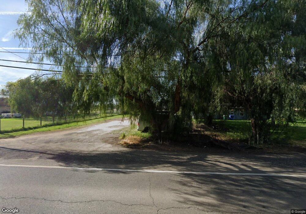
2116 Mcswain Rd Merced, CA 95341
Estimated Value: $348,000 - $544,000
3
Beds
2
Baths
2,500
Sq Ft
$181/Sq Ft
Est. Value
About This Home
This home is located at 2116 Mcswain Rd, Merced, CA 95341 and is currently estimated at $451,335, approximately $180 per square foot. 2116 Mcswain Rd is a home located in Merced County with nearby schools including Leontine Gracey Elementary School, Tenaya Middle School, and El Capitan High School.
Ownership History
Date
Name
Owned For
Owner Type
Purchase Details
Closed on
Oct 15, 2025
Sold by
Lo Paul C and Lo Kaonou M
Bought by
Lo Family 2025 Trust and Lo
Current Estimated Value
Purchase Details
Closed on
Apr 17, 2002
Sold by
Barrera Larry and Barrera Anthony M
Bought by
Lo Paul C and Lo Kaonou M
Home Financials for this Owner
Home Financials are based on the most recent Mortgage that was taken out on this home.
Original Mortgage
$195,000
Interest Rate
6.89%
Create a Home Valuation Report for This Property
The Home Valuation Report is an in-depth analysis detailing your home's value as well as a comparison with similar homes in the area
Purchase History
| Date | Buyer | Sale Price | Title Company |
|---|---|---|---|
| Lo Family 2025 Trust | -- | None Listed On Document | |
| Lo Paul C | $217,500 | Chicago Title Co |
Source: Public Records
Mortgage History
| Date | Status | Borrower | Loan Amount |
|---|---|---|---|
| Previous Owner | Lo Paul C | $195,000 |
Source: Public Records
Tax History
| Year | Tax Paid | Tax Assessment Tax Assessment Total Assessment is a certain percentage of the fair market value that is determined by local assessors to be the total taxable value of land and additions on the property. | Land | Improvement |
|---|---|---|---|---|
| 2025 | $3,404 | $321,285 | $51,692 | $269,593 |
| 2024 | $3,404 | $314,986 | $50,679 | $264,307 |
| 2023 | $3,356 | $308,811 | $49,686 | $259,125 |
| 2022 | $3,311 | $302,757 | $48,712 | $254,045 |
| 2021 | $3,302 | $296,821 | $47,757 | $249,064 |
| 2020 | $3,327 | $293,779 | $47,268 | $246,511 |
| 2019 | $3,258 | $288,020 | $46,342 | $241,678 |
| 2018 | $2,972 | $282,374 | $45,434 | $236,940 |
| 2017 | $3,085 | $276,839 | $44,544 | $232,295 |
| 2016 | $3,036 | $271,412 | $43,671 | $227,741 |
| 2015 | $2,628 | $235,000 | $150,000 | $85,000 |
| 2014 | $2,177 | $195,000 | $95,000 | $100,000 |
Source: Public Records
Map
Nearby Homes
- 965 N Bryant
- 2044 W State Highway 140
- 2051 Wardrobe Ave
- 1803 Lopes Ave
- 1664 W North Bear Creek Dr Unit 5
- 296 Grand Canyon Ct
- 1973 Shadowbrook Dr
- 1646 W North Bear Creek Dr
- 1963 Shadowbrook Dr
- 1648 W North Bear Creek Dr
- 817 T St
- 2500 N State Highway 59 Unit 36
- 2500 N State Highway 59 Unit 239
- 2500 N State Highway 59 Unit 18
- 2500 N State Highway 59
- 1251 W 9th St
- 2790 N State Highway 59
- 1541 W North Bear Creek Dr
- 2228 Drake Ave
- 2194 Meadowbrook Ave
- 2116 W State Highway 140
- 2128 W State Highway 140
- 2138 W State Highway 140
- 2148 W State Highway 140
- 2094 Mcswain Rd
- 2094 W State Highway 140
- 2156 W State Highway 140
- 2170 W State Highway 140
- 1024 N Bryant Ct
- 1027 N Bryant Ct
- 2169 W State Highway 140
- 2182 W State Highway 140
- 965 Bryant Ct
- 2177 W State Highway 140
- 2061 W State Highway 140
- 2186 W State Highway 140
- 2056 W State Highway 140
- 952 N Bryant Ct
- 2194 W State Highway 140
- 1140 Thornton Rd
Your Personal Tour Guide
Ask me questions while you tour the home.