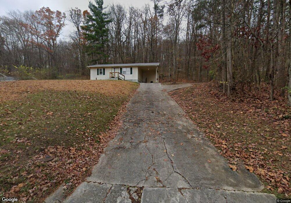
2116 Rifle Range Rd Knoxville, TN 37918
Uptown Knoxville NeighborhoodEstimated Value: $174,000 - $244,000
2
Beds
1
Bath
768
Sq Ft
$285/Sq Ft
Est. Value
About This Home
This home is located at 2116 Rifle Range Rd, Knoxville, TN 37918 and is currently estimated at $218,766, approximately $284 per square foot. 2116 Rifle Range Rd is a home located in Knox County with nearby schools including Adrian Burnett Elementary School, Halls Middle School, and St Joseph School.
Ownership History
Date
Name
Owned For
Owner Type
Purchase Details
Closed on
Aug 9, 2001
Sold by
Vincent George W and Vincent Christine C
Bought by
Murphy Racey Patrick
Current Estimated Value
Home Financials for this Owner
Home Financials are based on the most recent Mortgage that was taken out on this home.
Original Mortgage
$42,500
Interest Rate
7.1%
Mortgage Type
Seller Take Back
Purchase Details
Closed on
Mar 9, 2001
Sold by
Summey Janice L
Bought by
Vincent George W and Vincent Christine C
Create a Home Valuation Report for This Property
The Home Valuation Report is an in-depth analysis detailing your home's value as well as a comparison with similar homes in the area
Home Values in the Area
Average Home Value in this Area
Purchase History
| Date | Buyer | Sale Price | Title Company |
|---|---|---|---|
| Murphy Racey Patrick | $47,500 | Title Services | |
| Vincent George W | -- | -- |
Source: Public Records
Mortgage History
| Date | Status | Borrower | Loan Amount |
|---|---|---|---|
| Closed | Murphy Racey Patrick | $42,500 |
Source: Public Records
Tax History Compared to Growth
Tax History
| Year | Tax Paid | Tax Assessment Tax Assessment Total Assessment is a certain percentage of the fair market value that is determined by local assessors to be the total taxable value of land and additions on the property. | Land | Improvement |
|---|---|---|---|---|
| 2024 | $492 | $31,650 | $0 | $0 |
| 2023 | $492 | $31,650 | $0 | $0 |
| 2022 | $492 | $31,650 | $0 | $0 |
| 2021 | $255 | $12,025 | $0 | $0 |
| 2020 | $255 | $12,025 | $0 | $0 |
| 2019 | $255 | $12,025 | $0 | $0 |
| 2018 | $255 | $12,025 | $0 | $0 |
| 2017 | $255 | $12,025 | $0 | $0 |
| 2016 | $276 | $0 | $0 | $0 |
| 2015 | $276 | $0 | $0 | $0 |
| 2014 | $276 | $0 | $0 | $0 |
Source: Public Records
Map
Nearby Homes
- 6025 Medlin Heights Rd
- 6112 Northcrest Cir NE
- 6009 Medlin Heights Rd
- 2601 Rifle Range Rd
- 0 NE Snowood Dr Unit 1303936
- 6018 Nottingham Rd
- 2024 Bernhurst Dr
- 5855 Fairhill Ln
- 2705 Rifle Range Dr
- 1636 Cabernet Ln
- 5821 Fountain Rd
- 1716 Doningham Dr
- 320 Dahlia Dr
- 314 Dahlia Dr
- 1708 Uppingham Dr
- 2510 Bernhurst Dr
- 826 Gresham Rd
- 1502 Maremont Rd
- 2400 Fenwood Dr
- 2601 Fenwood Dr
- 2200 Rifle Range Rd
- 2200 Rifle Range Dr
- 2104 Rifle Range Dr
- 2104 Rifle Range Rd
- 2102 Rifle Range Rd
- 2102 Rifle Range Dr
- 2204 Rifle Range Rd
- 2204 Rifle Range Dr
- 2206 Rifle Range Rd
- 2206 Rifle Range Dr
- 2100 Rifle Range Rd
- 2208 Rifle Range Rd
- 2212 Rifle Range Rd
- 2212 Rifle Range Dr
- 2213 Belcaro Dr
- 2216 Rifle Range Rd
- LOT 24 Belcaro Dr Unit 3
- 2211 Belcaro Dr
- 2296 Rifle Range Rd
- 2205 Belcaro Dr