21165 W 197th St Spring Hill, KS 66083
Estimated Value: $506,000 - $642,000
3
Beds
3
Baths
2,284
Sq Ft
$250/Sq Ft
Est. Value
About This Home
This home is located at 21165 W 197th St, Spring Hill, KS 66083 and is currently estimated at $570,082, approximately $249 per square foot. 21165 W 197th St is a home located in Johnson County with nearby schools including Wolf Creek Elementary School, Spring Hill Middle School, and Spring Hill High School.
Ownership History
Date
Name
Owned For
Owner Type
Purchase Details
Closed on
Apr 14, 2025
Sold by
Farrell Janet M
Bought by
Kent Erica E
Current Estimated Value
Purchase Details
Closed on
Feb 6, 2014
Sold by
Farrell Janet M and Janet Marie Farrell Revocable
Bought by
Farrell Walter J and Farrell Janet M
Purchase Details
Closed on
May 10, 2000
Sold by
Farrell Walter John and Farrell Janet Marie
Bought by
Farrell Walter John and Farrell Janet Marie
Create a Home Valuation Report for This Property
The Home Valuation Report is an in-depth analysis detailing your home's value as well as a comparison with similar homes in the area
Home Values in the Area
Average Home Value in this Area
Purchase History
| Date | Buyer | Sale Price | Title Company |
|---|---|---|---|
| Kent Erica E | -- | Security 1St Title | |
| Kent Erica E | -- | Security 1St Title | |
| Farrell Walter J | -- | None Available | |
| Farrell Walter J | -- | None Available | |
| Farrell Walter John | -- | None Available |
Source: Public Records
Tax History Compared to Growth
Tax History
| Year | Tax Paid | Tax Assessment Tax Assessment Total Assessment is a certain percentage of the fair market value that is determined by local assessors to be the total taxable value of land and additions on the property. | Land | Improvement |
|---|---|---|---|---|
| 2024 | $6,923 | $59,547 | $13,746 | $45,801 |
| 2023 | $6,324 | $53,498 | $11,967 | $41,531 |
| 2022 | $5,388 | $45,195 | $9,570 | $35,625 |
| 2021 | $4,913 | $40,078 | $7,978 | $32,100 |
| 2020 | $4,707 | $38,077 | $7,978 | $30,099 |
| 2019 | $4,494 | $36,133 | $7,978 | $28,155 |
| 2018 | $4,114 | $34,385 | $7,978 | $26,407 |
| 2017 | $3,806 | $31,442 | $7,441 | $24,001 |
| 2016 | $3,554 | $29,222 | $7,441 | $21,781 |
| 2015 | $3,571 | $29,326 | $7,441 | $21,885 |
| 2013 | -- | $39,480 | $7,441 | $32,039 |
Source: Public Records
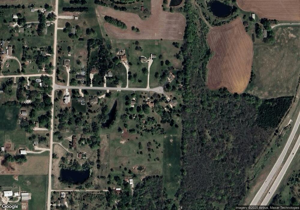
Map
Nearby Homes
- 20410 W 201st St
- RC Roselyn Plan at Wiswell Farms
- RC Keswick Plan at Wiswell Farms
- Rc Pickett Plan at Wiswell Farms
- Rc Franklin Plan at Wiswell Farms
- RC Bridgeport Plan at Wiswell Farms
- 20385 W 193rd Ln
- RC Wright Plan at Wiswell Farms
- RC Greenfield Plan at Wiswell Farms
- RC Glenwood Plan at Wiswell Farms
- RC Armstrong Plan at Wiswell Farms
- RC Fenway Plan at Wiswell Farms
- RC Foster II Plan at Wiswell Farms
- 20127 Falcon Ridge Dr
- 19985 W 199th St
- 20921 W 190th Place
- 19024 Theden St
- 20916 W 190th Place
- 20711 W 199th St
- 19721 W 195th Place
- 21225 W 197th St
- 21135 W 197th St
- 21130 W 197th St
- 21200 W 197th St
- 21350 W 197th St
- 21290 W 197th St
- 21385 W 197th St
- 21400 W 197th St
- 21435 W 197th St
- 21430 W 197th St
- 21475 W 197th St
- 19785 S Lone Elm Rd
- 19845 S Lone Elm Rd
- 21470 W 197th St
- 19595 S Lone Elm Rd
- 19670 S Lone Elm Rd
- 19640 S Lone Elm Rd
- 19730 S Lone Elm Rd
- 19730 S Lone Elm Rd
- 19515 S Lone Elm Rd