21167 J Ave West Union, IA 52175
Estimated Value: $370,000 - $388,000
4
Beds
3
Baths
1,984
Sq Ft
$190/Sq Ft
Est. Value
About This Home
This home is located at 21167 J Ave, West Union, IA 52175 and is currently estimated at $377,706, approximately $190 per square foot. 21167 J Ave is a home located in Fayette County with nearby schools including North Fayette Valley Middle School and North Fayette Valley H. School.
Ownership History
Date
Name
Owned For
Owner Type
Purchase Details
Closed on
Aug 22, 2005
Sold by
Ohlson Michael W and Ohlson Joleen A
Bought by
Cannon Cory E
Current Estimated Value
Home Financials for this Owner
Home Financials are based on the most recent Mortgage that was taken out on this home.
Original Mortgage
$129,600
Interest Rate
5.82%
Mortgage Type
New Conventional
Create a Home Valuation Report for This Property
The Home Valuation Report is an in-depth analysis detailing your home's value as well as a comparison with similar homes in the area
Home Values in the Area
Average Home Value in this Area
Purchase History
| Date | Buyer | Sale Price | Title Company |
|---|---|---|---|
| Cannon Cory E | $165,000 | None Available |
Source: Public Records
Mortgage History
| Date | Status | Borrower | Loan Amount |
|---|---|---|---|
| Closed | Cannon Cory E | $129,600 |
Source: Public Records
Tax History Compared to Growth
Tax History
| Year | Tax Paid | Tax Assessment Tax Assessment Total Assessment is a certain percentage of the fair market value that is determined by local assessors to be the total taxable value of land and additions on the property. | Land | Improvement |
|---|---|---|---|---|
| 2025 | $3,622 | $377,150 | $40,280 | $336,870 |
| 2024 | $3,622 | $335,640 | $40,280 | $295,360 |
| 2023 | $3,634 | $335,640 | $40,280 | $295,360 |
| 2022 | $3,312 | $271,150 | $33,780 | $237,370 |
| 2021 | $3,312 | $271,150 | $33,780 | $237,370 |
| 2020 | $3,486 | $273,290 | $30,850 | $242,440 |
| 2019 | $2,330 | $189,340 | $0 | $0 |
| 2018 | $2,272 | $189,340 | $0 | $0 |
| 2017 | $2,178 | $157,290 | $0 | $0 |
| 2016 | $2,126 | $157,290 | $0 | $0 |
| 2015 | $2,126 | $0 | $0 | $0 |
| 2014 | $2,158 | $0 | $0 | $0 |
Source: Public Records
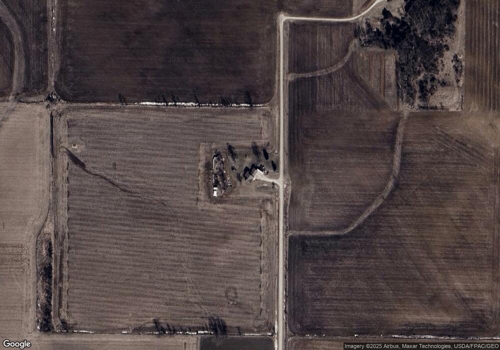
Map
Nearby Homes
- 10290 Echo Valley Lot 2 Rd
- 217 S Walnut St
- 326 E Elm St
- 306 W Plum St
- 310 W Plum St
- 313 W Elm St
- 119 N Wells St
- 106 Jones St
- 206 W Maple St
- 504 W Bradford St
- TBD Lots 5&6 St
- 601 Russell Ave
- 701 Northwestern Ave
- 110 Lilac Ave
- 304 Auburn St
- 107 Union Ridge Dr
- 705 Iowa 150
- 15453 200th St
- Parcel: 1120400010
- 208 Jones St
- 21170 J Ave
- 20765 J Ave
- 10101 Echo Valley Rd
- 9487 Echo Valley Rd
- 9986 Filmore Rd
- 9629 Echo Valley Rd
- 9486 Echo Valley Rd
- 10393 Echo Valley Rd
- 10300 Echo Valley Rd
- 10290 Echo Valley Rd
- 10330 Echo Valley Rd
- 10370 Echo Valley Rd
- 10310 Echo Valley Rd
- 20509 J Ave
- 10400 Echo Valley Rd
- 10350 Echo Valley Rd
- 10420 Echo Valley Rd
- 20504 J Ave
- 10440 Echo Valley Rd
- 10460 Echo Valley Rd