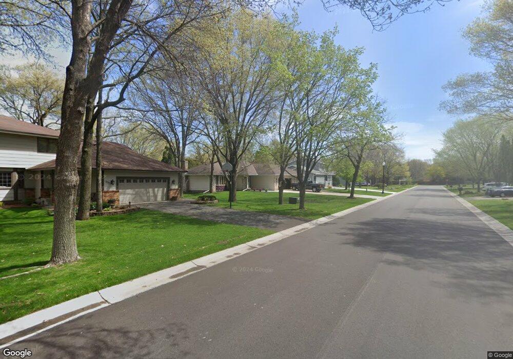
2117 129th Ln NW Coon Rapids, MN 55448
Estimated Value: $393,000 - $411,000
3
Beds
3
Baths
1,224
Sq Ft
$328/Sq Ft
Est. Value
About This Home
This home is located at 2117 129th Ln NW, Coon Rapids, MN 55448 and is currently estimated at $402,065, approximately $328 per square foot. 2117 129th Ln NW is a home located in Anoka County with nearby schools including Lucile Bruner Elementary School, Morris Bye Elementary School, and Laughlin Junior/Senior High School.
Ownership History
Date
Name
Owned For
Owner Type
Purchase Details
Closed on
Oct 31, 2016
Sold by
Hodges Amy and Hodges Eric
Bought by
Hedlund Bruce and Hedlund Darlene
Current Estimated Value
Home Financials for this Owner
Home Financials are based on the most recent Mortgage that was taken out on this home.
Original Mortgage
$247,926
Outstanding Balance
$199,417
Interest Rate
3.48%
Mortgage Type
FHA
Estimated Equity
$202,648
Purchase Details
Closed on
Jul 19, 2010
Sold by
Rizzo Anthony C and Rizzo Gabriela C
Bought by
Hodges Eric
Home Financials for this Owner
Home Financials are based on the most recent Mortgage that was taken out on this home.
Original Mortgage
$226,844
Interest Rate
4.75%
Mortgage Type
FHA
Purchase Details
Closed on
May 11, 2000
Sold by
Sangrene David R and Sangrene Janice K
Bought by
Rizzo Anthony C and Rizzo Gabriela C
Create a Home Valuation Report for This Property
The Home Valuation Report is an in-depth analysis detailing your home's value as well as a comparison with similar homes in the area
Home Values in the Area
Average Home Value in this Area
Purchase History
| Date | Buyer | Sale Price | Title Company |
|---|---|---|---|
| Hedlund Bruce | $252,500 | Liberty Title Inc | |
| Hodges Eric | $229,900 | -- | |
| Rizzo Anthony C | $185,000 | -- |
Source: Public Records
Mortgage History
| Date | Status | Borrower | Loan Amount |
|---|---|---|---|
| Open | Hedlund Bruce | $247,926 | |
| Previous Owner | Hodges Eric | $226,844 |
Source: Public Records
Tax History Compared to Growth
Tax History
| Year | Tax Paid | Tax Assessment Tax Assessment Total Assessment is a certain percentage of the fair market value that is determined by local assessors to be the total taxable value of land and additions on the property. | Land | Improvement |
|---|---|---|---|---|
| 2025 | $3,773 | $367,500 | $90,000 | $277,500 |
| 2024 | $3,773 | $359,100 | $87,000 | $272,100 |
| 2023 | $3,534 | $352,900 | $72,000 | $280,900 |
| 2022 | $3,271 | $359,700 | $72,000 | $287,700 |
| 2021 | $3,192 | $300,300 | $56,000 | $244,300 |
| 2020 | $3,204 | $287,000 | $56,000 | $231,000 |
| 2019 | $3,060 | $274,800 | $56,000 | $218,800 |
| 2018 | $2,865 | $256,100 | $0 | $0 |
| 2017 | $2,631 | $234,300 | $0 | $0 |
| 2016 | $2,825 | $212,700 | $0 | $0 |
| 2015 | $2,615 | $212,700 | $50,000 | $162,700 |
| 2014 | -- | $179,600 | $35,400 | $144,200 |
Source: Public Records
Map
Nearby Homes
- 12888 Nightingale St NW
- 12760 Raven St NW
- 1930 127th Cir NW
- 13416 Swallow St NW
- 12759 Ibis St NW
- 2147 125th Ln NW
- 1776 133rd Ave NW
- 1687 131st Ln NW
- 13182 Zion St NW
- 2068 124th Ln NW
- 13519 Partridge Cir NW
- 12554 Grouse St NW
- 1520 129th Ave NW
- 13182 Crane St NW
- 2675 128th Ave NW
- 1593 126th Ln NW
- 12365 Jay St NW
- 2740 132nd Ln NW
- 1450 126th Ln NW
- 2270 137th Ln NW
- 2103 129th Ln NW
- 2131 129th Ln NW
- 2118 130th Ave NW
- 2116 129th Ln NW
- 2104 130th Ave NW
- 2145 129th Ln NW
- 2089 129th Ln NW
- 2102 129th Ln NW
- 2130 129th Ln NW
- 2132 130th Ave NW
- 2090 130th Ave NW
- 2144 129th Ln NW
- 2146 130th Ave NW
- 2088 129th Ln NW
- 2075 129th Ln NW
- 2076 130th Ave NW
- 2158 129th Ln NW
- 2074 129th Ln NW
- 2133 129th Ave NW
- 2119 129th Ave NW