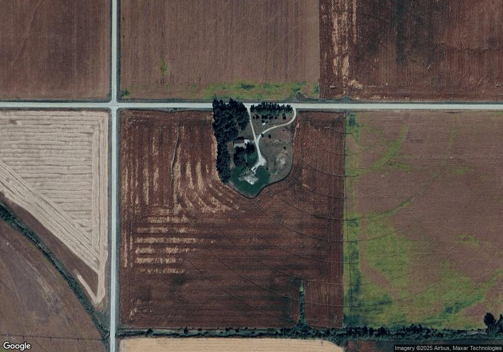
2117 D Rd West Point, NE 68788
Estimated Value: $509,000 - $688,299
1
Bed
2
Baths
1,627
Sq Ft
$368/Sq Ft
Est. Value
About This Home
This home is located at 2117 D Rd, West Point, NE 68788 and is currently estimated at $598,650, approximately $367 per square foot. 2117 D Rd is a home located in Cuming County with nearby schools including West Point-Beemer Junior/Senior High School.
Create a Home Valuation Report for This Property
The Home Valuation Report is an in-depth analysis detailing your home's value as well as a comparison with similar homes in the area
Tax History
| Year | Tax Paid | Tax Assessment Tax Assessment Total Assessment is a certain percentage of the fair market value that is determined by local assessors to be the total taxable value of land and additions on the property. | Land | Improvement |
|---|---|---|---|---|
| 2025 | $3,010 | $557,230 | $80,280 | $476,950 |
| 2024 | $3,085 | $509,145 | $76,255 | $432,890 |
| 2023 | $4,472 | $493,255 | $70,420 | $422,835 |
| 2022 | $4,223 | $425,940 | $56,195 | $369,745 |
| 2021 | $3,673 | $366,465 | $57,215 | $309,250 |
| 2020 | $3,308 | $334,620 | $66,005 | $268,615 |
| 2019 | $3,057 | $302,490 | $66,005 | $236,485 |
| 2018 | $3,044 | $304,990 | $68,505 | $236,485 |
| 2017 | $2,807 | $272,370 | $51,845 | $220,525 |
| 2016 | $2,739 | $255,975 | $50,555 | $205,420 |
| 2015 | $2,939 | $251,995 | $46,575 | $205,420 |
| 2014 | $1,293 | $248,815 | $40,915 | $207,900 |
| 2013 | $1,293 | $90,035 | $29,390 | $60,645 |
Source: Public Records
Map
Nearby Homes
Your Personal Tour Guide
Ask me questions while you tour the home.