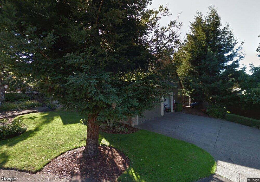
2117 Davis Rd S Salem, OR 97306
Sunnyslope NeighborhoodEstimated Value: $695,634 - $776,000
1
Bed
3
Baths
2,637
Sq Ft
$279/Sq Ft
Est. Value
About This Home
This home is located at 2117 Davis Rd S, Salem, OR 97306 and is currently estimated at $736,659, approximately $279 per square foot. 2117 Davis Rd S is a home located in Marion County with nearby schools including Liberty Elementary School, Crossler Middle School, and Sprague High School.
Ownership History
Date
Name
Owned For
Owner Type
Purchase Details
Closed on
Feb 15, 2018
Sold by
Beckmann Scott R and Beckmann Susan L
Bought by
Hsf Development Llc
Current Estimated Value
Purchase Details
Closed on
Feb 7, 2018
Sold by
Beckmann Scott R and Beckmann Susan L
Bought by
Hsf Development Llc
Purchase Details
Closed on
Jun 23, 2003
Sold by
Mj West Construction Inc
Bought by
Beckmann Scott R and Beckmann Susan L
Home Financials for this Owner
Home Financials are based on the most recent Mortgage that was taken out on this home.
Original Mortgage
$170,000
Interest Rate
5.37%
Mortgage Type
Purchase Money Mortgage
Create a Home Valuation Report for This Property
The Home Valuation Report is an in-depth analysis detailing your home's value as well as a comparison with similar homes in the area
Home Values in the Area
Average Home Value in this Area
Purchase History
| Date | Buyer | Sale Price | Title Company |
|---|---|---|---|
| Hsf Development Llc | -- | None Listed On Document | |
| Hsf Development Llc | -- | None Available | |
| Beckmann Scott R | $349,361 | Fidelity Natl Title Co Of Or |
Source: Public Records
Mortgage History
| Date | Status | Borrower | Loan Amount |
|---|---|---|---|
| Previous Owner | Beckmann Scott R | $170,000 |
Source: Public Records
Tax History Compared to Growth
Tax History
| Year | Tax Paid | Tax Assessment Tax Assessment Total Assessment is a certain percentage of the fair market value that is determined by local assessors to be the total taxable value of land and additions on the property. | Land | Improvement |
|---|---|---|---|---|
| 2025 | $9,126 | $478,760 | -- | -- |
| 2024 | $9,126 | $464,820 | -- | -- |
| 2023 | $8,857 | $451,290 | $0 | $0 |
| 2022 | $8,351 | $438,150 | $0 | $0 |
| 2021 | $8,113 | $425,390 | $0 | $0 |
| 2020 | $7,876 | $413,000 | $0 | $0 |
| 2019 | $7,599 | $400,980 | $0 | $0 |
| 2018 | $7,734 | $0 | $0 | $0 |
| 2017 | $6,980 | $0 | $0 | $0 |
| 2016 | $6,649 | $0 | $0 | $0 |
| 2015 | $6,699 | $0 | $0 | $0 |
| 2014 | $6,256 | $0 | $0 | $0 |
Source: Public Records
Map
Nearby Homes
- 5760 Barbaresco St S
- 5555 Salinas Ct S
- 2271 Tuscana Ave S
- 5555 Red Leaf Dr S
- Dayton Plan at Verona Heights
- Darius Plan at Verona Heights
- 1977 Maplewood Ct S
- 6252 Evangelista Ave S
- 2240 Maplewood Dr S
- 5545 Skyline Rd S
- 5585 Mountain Quail Dr S
- 2350 Maplewood Dr S
- 2332 Veneta Ave S
- 2335 Maplewood Dr S
- 1874 Cedarcrest Dr S
- 5336 Addison Ct S
- 5395 Anaconda Dr S
- 6024 Evangelista (Lot 31) St S
- 5878 Verona St S
- 5986 St S
- 5583 Basin Ct S
- 2121 Davis Rd S
- 5588 Fernbrook Ct S
- 5675 Boundary (Lot 4) Dr
- 5675 Boundary Dr S
- 5675 Boundary Dr S Unit 4) Dr
- 5669 Boundary Dr S
- 5573 Basin Ct S
- 5664 Crossler Ct S
- 5578 Fernbrook Ct S
- 5669 Boundary Dr S
- 5674 Crossler Ct S
- 5681 Boundary Dr S Unit 3) Dr
- 5681 Boundary Dr S
- 5574 Basin Ct S
- 2125 Davis Rd S
- 5687 Boundary Dr S Unit 2) Dr
- 5687 Boundary Dr S
- 5687 Boundary Dr S
- 5684 Crossler Ct S