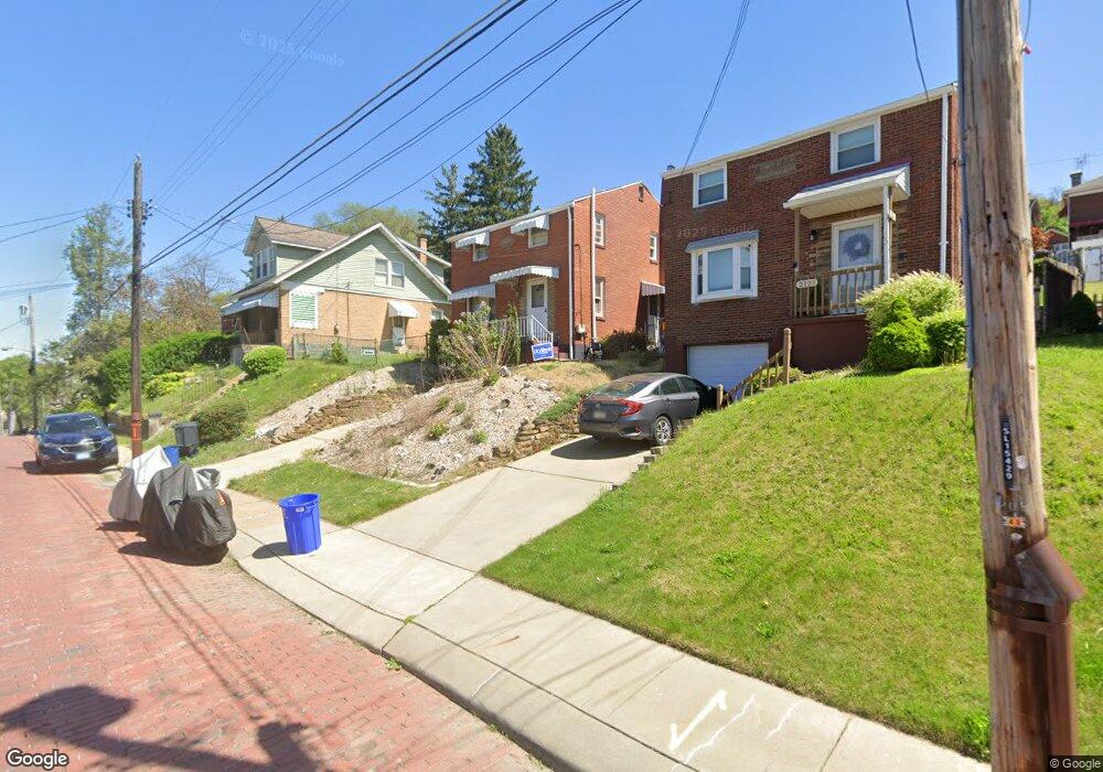
2117 Fairland St Pittsburgh, PA 15210
Carrick NeighborhoodEstimated Value: $181,000 - $226,000
3
Beds
1
Bath
1,364
Sq Ft
$148/Sq Ft
Est. Value
About This Home
This home is located at 2117 Fairland St, Pittsburgh, PA 15210 and is currently estimated at $201,604, approximately $147 per square foot. 2117 Fairland St is a home located in Allegheny County with nearby schools including Pittsburgh Concord K-5, Pittsburgh South Brook, and Pittsburgh Carrick High School.
Ownership History
Date
Name
Owned For
Owner Type
Purchase Details
Closed on
Aug 10, 2017
Sold by
Buczynski Daniel I and Buczynski Jennifer S
Bought by
Buczynski Daniel I
Current Estimated Value
Purchase Details
Closed on
Apr 9, 2009
Sold by
Coppola George Patsy
Bought by
Buczynski Daniel I
Home Financials for this Owner
Home Financials are based on the most recent Mortgage that was taken out on this home.
Original Mortgage
$84,800
Outstanding Balance
$53,607
Interest Rate
4.94%
Mortgage Type
New Conventional
Estimated Equity
$147,997
Create a Home Valuation Report for This Property
The Home Valuation Report is an in-depth analysis detailing your home's value as well as a comparison with similar homes in the area
Home Values in the Area
Average Home Value in this Area
Purchase History
| Date | Buyer | Sale Price | Title Company |
|---|---|---|---|
| Buczynski Daniel I | -- | None Available | |
| Buczynski Daniel I | $87,500 | -- |
Source: Public Records
Mortgage History
| Date | Status | Borrower | Loan Amount |
|---|---|---|---|
| Open | Buczynski Daniel I | $84,800 |
Source: Public Records
Tax History Compared to Growth
Tax History
| Year | Tax Paid | Tax Assessment Tax Assessment Total Assessment is a certain percentage of the fair market value that is determined by local assessors to be the total taxable value of land and additions on the property. | Land | Improvement |
|---|---|---|---|---|
| 2025 | $1,509 | $65,500 | $13,300 | $52,200 |
| 2024 | $1,509 | $65,500 | $13,300 | $52,200 |
| 2023 | $1,509 | $65,500 | $13,300 | $52,200 |
| 2022 | $1,489 | $65,500 | $13,300 | $52,200 |
| 2021 | $1,489 | $65,500 | $13,300 | $52,200 |
| 2020 | $1,482 | $65,500 | $13,300 | $52,200 |
| 2019 | $1,482 | $65,500 | $13,300 | $52,200 |
| 2018 | $1,096 | $65,500 | $13,300 | $52,200 |
| 2017 | $1,482 | $65,500 | $13,300 | $52,200 |
| 2016 | $310 | $65,500 | $13,300 | $52,200 |
| 2015 | $310 | $65,500 | $13,300 | $52,200 |
| 2014 | $1,450 | $65,500 | $13,300 | $52,200 |
Source: Public Records
Map
Nearby Homes
- 2082 Walton Ave
- 42 Queenston St
- 2032 Jacob St
- 1928 Dartmore St
- 331 Redwood St
- 2220 Jacob St
- 309 Parkfield St
- 373 Copperfield Ave
- 404 Ariston Ave
- 400 Ariston Ave
- 21 Briggs St
- 1572 Brookline Blvd
- 755 Maytide St
- 713 Maytide St
- 2020 Brownsville Rd
- 2000 Brownsville Rd
- 2317 Parklyn St
- 1725 Hallowell St
- 1641 Mount Joseph St
- 304 Parklyn St
- 2121 Fairland St
- 2115 Fairland St
- 2125 Fairland St
- 2127 Fairland St
- 2112 Walton Ave
- 2136 Fairland St
- 2106 Walton Ave
- 2116 Walton Ave
- 2114 Walton Ave
- 2131 Fairland St
- 2128 Fairland St
- 2107 Fairland St
- 2107 Fairland St
- 2130 Fairland St
- 2138 Fairland St
- 2134 Fairland St
- 2102 Walton Ave
- 2135 Fairland St
- 2124 Fairland St
- 2105 Fairland St