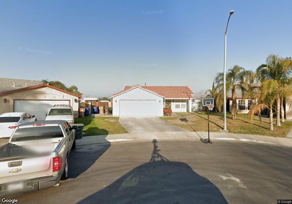
2117 Foxfire Ct Bakersfield, CA 93304
South Wible Orchard NeighborhoodEstimated Value: $318,244 - $333,000
3
Beds
2
Baths
1,267
Sq Ft
$256/Sq Ft
Est. Value
About This Home
This home is located at 2117 Foxfire Ct, Bakersfield, CA 93304 and is currently estimated at $324,061, approximately $255 per square foot. 2117 Foxfire Ct is a home located in Kern County with nearby schools including Planz Elementary School, Greenfield Middle School, and South High School.
Ownership History
Date
Name
Owned For
Owner Type
Purchase Details
Closed on
Oct 9, 2013
Sold by
Roque Robert M and Roque Irene B
Bought by
Roque Robert M and Roque Irene B
Current Estimated Value
Purchase Details
Closed on
Jan 26, 2001
Sold by
Syroli
Bought by
Roque Robert M and Roque Irene B
Home Financials for this Owner
Home Financials are based on the most recent Mortgage that was taken out on this home.
Original Mortgage
$87,210
Outstanding Balance
$31,053
Interest Rate
6.89%
Mortgage Type
FHA
Estimated Equity
$293,008
Create a Home Valuation Report for This Property
The Home Valuation Report is an in-depth analysis detailing your home's value as well as a comparison with similar homes in the area
Home Values in the Area
Average Home Value in this Area
Purchase History
| Date | Buyer | Sale Price | Title Company |
|---|---|---|---|
| Roque Robert M | -- | None Available | |
| Roque Robert M | $96,000 | First American Title Co |
Source: Public Records
Mortgage History
| Date | Status | Borrower | Loan Amount |
|---|---|---|---|
| Open | Roque Robert M | $87,210 |
Source: Public Records
Tax History
| Year | Tax Paid | Tax Assessment Tax Assessment Total Assessment is a certain percentage of the fair market value that is determined by local assessors to be the total taxable value of land and additions on the property. | Land | Improvement |
|---|---|---|---|---|
| 2025 | $2,353 | $144,634 | $30,125 | $114,509 |
| 2024 | $2,299 | $141,799 | $29,535 | $112,264 |
| 2023 | $2,299 | $139,019 | $28,956 | $110,063 |
| 2022 | $2,264 | $136,294 | $28,389 | $107,905 |
| 2021 | $2,144 | $133,623 | $27,833 | $105,790 |
| 2020 | $2,087 | $132,254 | $27,548 | $104,706 |
| 2019 | $2,053 | $132,254 | $27,548 | $104,706 |
| 2018 | $1,966 | $127,120 | $26,479 | $100,641 |
| 2017 | $1,947 | $124,628 | $25,960 | $98,668 |
| 2016 | $1,834 | $122,185 | $25,451 | $96,734 |
| 2015 | $1,805 | $120,350 | $25,069 | $95,281 |
| 2014 | $1,775 | $117,993 | $24,578 | $93,415 |
Source: Public Records
Map
Nearby Homes
- 2114 Foxglove Ct
- 4515 Letzring Ln
- 2212 Saint Helens Ave
- 4613 Black Rock Mountain Ct
- 4620 Black Rock Mountain Ct Unit 1
- 2204 Kelso Peak Ave
- 4604 Mount Everest Way
- 2005 Kelso Peak Ave
- 4401 Hughes Ln Unit 191
- 4401 Hughes Ln Unit 162
- 4401 Hughes Ln Unit 57
- 4401 Hughes Ln Unit 173
- 4401 Hughes Ln Unit 34
- 4401 Hughes Ln Unit 200
- 4401 Hughes Ln Unit 48
- 4401 Hughes Ln Unit 136
- 4401 Hughes Ln Unit 106
- 4401 Hughes Ln Unit 62
- 4401 Hughes Ln Unit 116
- 4401 Hughes Ln Unit 32
- 2113 Foxfire Ct
- 2116 Foxfire Ct
- 4401 Star Jasmine Ct
- 2114 Day Lily Dr
- 2112 Foxfire Ct
- 2109 Foxfire Ct
- 2110 Day Lily Dr
- 2108 Foxfire Ct
- 4405 Star Jasmine Ct
- 2105 Foxfire Ct
- 2119 Foxglove Ct
- 2123 Foxglove Ct
- 2104 Foxfire Ct
- 2106 Day Lily Dr
- 4409 Star Jasmine Ct
- 2115 Foxglove Ct
- 2101 Foxfire Ct
- 2100 Foxfire Ct
- 2102 Day Lily Dr
- 2111 Foxglove Ct
Your Personal Tour Guide
Ask me questions while you tour the home.